Port Tampa City in Hillsborough County, Florida — The American South (South Atlantic)
Port Tampa City’s Black Cemetery
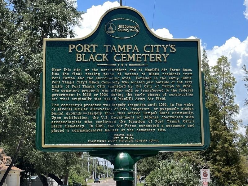
Photographed by Tim Fillmon, August 11, 2026
1. Port Tampa City’s Black Cemetery Marker
Near this site, on the northwestern end of MacDill Air Force Base, lies the final resting place of dozens of Black residents from Port Tampa and the surrounding area. Founded in the early 1900’s, Port Tampa City’s Black Cemetery was located just outside of the city limits of Port Tampa City (annexed by the City of Tampa in 1961). The cemetery property was either sold or transferred to the federal government in 1938 or 1939 during the early phases of construction for what originally was called MacDill Army Air Field.
The cemetery's presence was largely forgotten until 2019, in the wake of several similar discoveries of lost, forgotten, or purposely hidden burial grounds—-largely those that served Tampa’s Black community. Upon notification, the U.S. Department of Defense contracted with archaeologists who confirmed the location of Port Tampa City's Black Cemetery. In 2021, the Air Force conducted a ceremony and placed a commemorative marker at the cemetery site.
Erected 2026 by City of Tampa, Hillsborough County Historical Advisory Council.
Topics. This historical marker is listed in these topic lists:
this page online
Location. 27° 51.889′ N, 82° 31.115′ W. Marker is in Tampa, Florida, in Hillsborough County. It is in Port Tampa City. It is on South Manhattan Avenue just south of Interbay Boulevard, on the left when traveling south. Touch for map. Marker is at or near this postal address: 6965 S Manhattan Ave, Tampa FL 33616, United States of America. Touch for directions.

Regionally, this marker is on Tampa Bay. It is also in the American South and on the Gulf Coast. Globally, it is in the North Atlantic Region, North America, a Gulf of Mexico state, the Western Hemisphere, the Western World, and the Anglosphere. Historically, it finds itself in what was once New Spain, the territory of the Mississippian Culture, one of the Confederate States of America, and the Antebellum South.
Other nearby markers. At least 8 other markers are within 2 miles of this marker, measured as the crow flies: The Rough Riders Arrive at Port Tampa (approx. half a mile away); Tampa as Port of Embarkation for Spanish American War (approx. half a mile away);
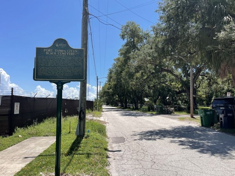
Photographed by Tim Fillmon, August 11, 2026
2. Port Tampa City’s Black Cemetery Marker
Another marker is no longer nearby. The Rough Riders Embark the S.S. Yucatan (was approx. 1.7 miles away but has been replaced with another marker now near it).
Also see . . . Port Tampa City Black Cemetery. (Submitted on August 11, 2026, by Tim Fillmon of Webster, Florida.)
Credits. This page was last revised on August 11, 2026. It was originally submitted on August 11, 2026, by Tim Fillmon of Webster, Florida. This page has been viewed 12 times since then. Photos: 1, 2. submitted on August 11, 2026, by Tim Fillmon of Webster, Florida.
