
Leesylvania in Prince William County, Virginia — The American South (Mid-Atlantic)
Transportation and Industry on Neabsco Creek

Photographed by Kevin W., January 2, 2025
1. Transportation and Industry on Neabsco Creek Marker
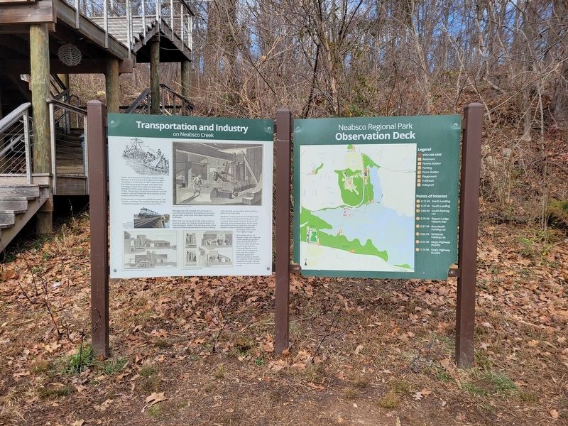
Early industry in the area utilized the creek, John Tayloe, a member of a wealthy tidewater family, created the Neabsco Iron Furnace by 1737. Although one of the largest iron producers in colonial North America, the Tayloes continued to use an older production technique that proved inefficient.
When the iron ore found on the creek proved to be poor quality, the Tayloes obtained better iron from Maryland. Rather than farming, most of the Tayloe's enslaved people labored at ship building, cloth weaving, woodcutting, blacksmithing and iron foundry work.
Neabsco Furnace produced hundreds of tons of iron when in blast, every three years, and consumed thousands of acres of woods for charcoal, all by enslaved labor. As the wood
this page online
Richard Blackburn, of Rippon Lodge, also used the creek operating a gristmill to grind wheat and corn into flour. After producing goods, many farmers, including Blackburn and Henry Lee of Leesylvania, also used the creek to transport goods and tobacco via ship to market. The majority of the products shipped to foreign markets were produced by enslaved people.
Erected by Neabsco Regional Park.
Topics. This historical marker is listed in these topic lists: Industry & Commerce • Waterways & Vessels. A significant historical year for this entry is 1737.
Location. 38° 36.694′ N, 77° 16.564′ W. Marker is in Leesylvania, Virginia, in Prince William County. It can be reached from Blackburn Road, on the right when traveling east. The Marker can be accessed from the boardwalk. Parking is at the street address provided. Touch for map. Marker is at or near this postal address: 15594 Blackburn Rd, Woodbridge VA 22191, United States of America. Touch for directions.

Regionally, this marker is in the Washington Metropolitan
Photographed by Kevin W., January 2, 2025
2. Transportation and Industry on Neabsco Creek Marker
Other nearby markers. At least 8 other markers are within walking distance of this marker: Ecology of Neabsco Creek (a few steps from this marker); Early People of Neabsco (a few steps from this marker); Collo. Richard Blackburn (about 700 feet away, measured in a direct line); Stones, but No Bones (approx. 0.2 miles away); The Burying Ground (approx. 0.2 miles away); Neabsco Creek (approx. 0.2 miles away); Rippon Lodge (approx. ¼ mile away); a different marker also named Latrobe's View (approx. ¼ mile away). Touch for a list and map of all markers in Leesylvania.
Another marker is no longer nearby. Latrobe's View (was approx. ¼
Photographed by Kevin W., January 2, 2025
3. Transportation and Industry on Neabsco Creek Marker
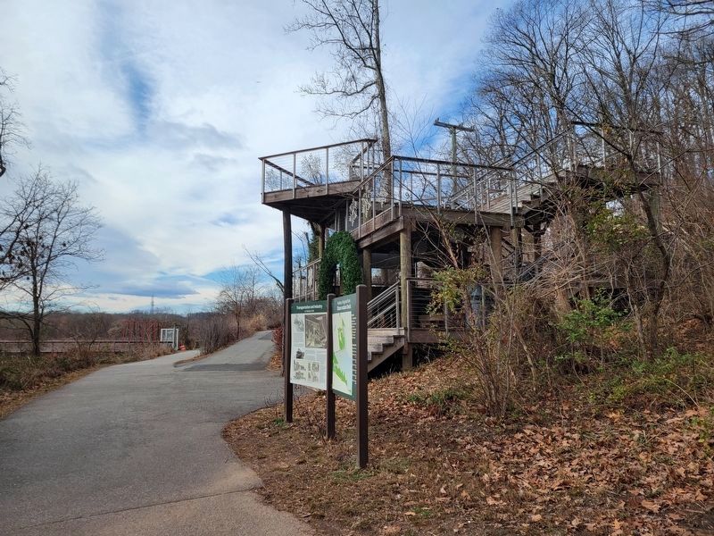
The Neabsco Creek Boardwalk observation deck is in the background.
Credits. This page was last revised on August 12, 2026. It was originally submitted on August 12, 2026, by Kevin W. of Stafford, Virginia. This page has been viewed 7 times since then. Photos: 1, 2, 3. submitted on August 12, 2026, by Kevin W. of Stafford, Virginia.
