Riverwalk District in Reno in Washoe County, Nevada — The American Mountains (Southwest)
Wingfield Park

Photographed by Douglass Halvorsen, August 7, 2026
1. Wingfield Park Marker
Wingfield came to Nevada from his family ranch in eastern Oregon, looking for work as a buckaroo and small-time poker player. He dealt faro and stud poker at the gold and silver camps, winning some gold claims in a poker game at the Tonopah Club. He parlayed this luck into one of Nevada’s richest mines at Goldfield, growing his stake into a multi-million dollar enterprise of mining, banking and politics—an enterprise he re-built from scratch after the Depression. Wingfield’s investments represented Nevada’s most common business themes: mining, real estate, hotels
this page online
Many years later, the city built “a gazebo for the bands appearing at the summer concerts at Wingfield Island” according to an article in the Reno Gazette-Journal. This “gazebo” is today known as the Wingfield Park Amphitheater, home to numerous performing arts, music and other special events held throughout the year. The biggest event is the annual Artown festival held during the month of July.
Barbara Bennett Park is adjacent to Wingfield Park and has basketball and tennis courts, a play area and plenty of shade to beat the summer heat.
Topics. This historical marker is listed in these topic lists: Entertainment • Industry & Commerce • Parks & Recreational Areas. A significant historical year for this entry is 1920.
Location. 39° 31.48′ N, 119° 49.063′ W. Marker is in Reno, Nevada, in Washoe County. It is in the Riverwalk District. It is on West 1st Street, on the right when traveling east. Touch for map. Marker is at or near this postal address: 395 W 1st Street, Reno NV 89503, United States of America. Touch for directions.

Regionally,
Photographed by Douglass Halvorsen, August 7, 2026
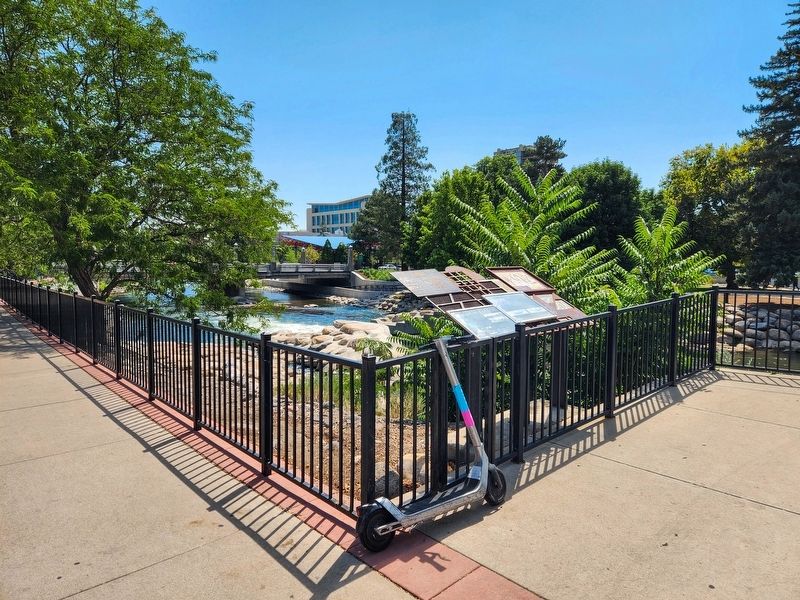
2. Wingfield Park Marker
View of markers looking SE towards the Arlington Avenue Bridge and Wingfield Park Amphitheater in the distance.
Other nearby markers. At least 8 other markers are within walking distance of this marker: From Drought to Flood (here, next to this marker); Sullivan & Kelly Ditch (within shouting distance of this marker); The Humboldt Trail (within shouting distance of this marker); First Church of Christ, Scientist, Reno (about 700 feet away, measured in a direct line); The Truckee River (about 700 feet away); Lake Mansion (approx. 0.2 miles away); Reno's Beginning (approx. 0.2 miles away); Powning’s Addition Conservation District (approx. ¼ mile away). Touch for a list and map of all markers in Reno.

Photographed by Douglass Halvorsen, May 25, 2014
3. Wingfield Park Amphitheater
Photo of the Wingfield Park Amphitheater, taken in June, 2014
Credits. This page was last revised on August 13, 2026. It was originally submitted on August 12, 2026, by Douglass Halvorsen of Klamath Falls, Oregon. This page has been viewed 13 times since then. Photos: 1, 2, 3. submitted on August 12, 2026, by Douglass Halvorsen of Klamath Falls, Oregon. • Andrew Ruppenstein was the editor who published this page.
