Mission Hills Park 551 Mission Drive in Henderson in Clark County, Nevada — The American Mountains (Southwest)
Arrowhead Trail
Henderson
Photographed by Bill Kirchner, October 3, 2013
1. Arrowhead Trail Marker
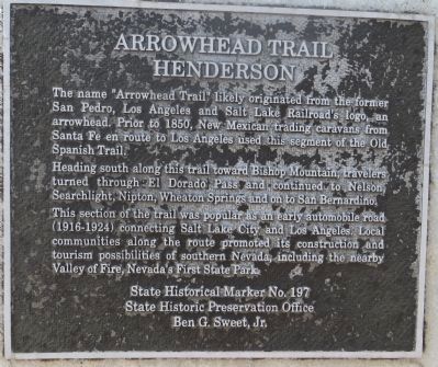
Heading south along this trail toward Bishop Mountain, travelers turned through El Dorado pass, and continued to Nelson, Searchlight, Nipton, Wheaton Springs, and on to San Bernardino.
This section of the trail was popular as an early automobile road (1916-1924) connecting Salt Lake City and Los Angeles. Local communities along the route promoted its construction and the tourism possibilities of southern Nevada, including the nearby Valley of Fire, Nevada's first state park.
Erected by State Historic Preservation Office. (Marker Number 197.)
Topics and series. This historical marker is listed in this topic list: Roads & Vehicles. In addition, it is included in the Old Spanish National Trail series list. A significant historical year for this entry is 1850.
Location. 35° 59.841′ N, 114° 57.5′ W. Marker is in Henderson, Nevada, in Clark County. It is in Mission Hills
this page online

Regionally, this marker is in the Mojave Desert and in Greater Las Vegas. It is also in the American Southwest and in the Mountain West. Globally, it is in North America, the Western Hemisphere, the Western World, and the Anglosphere. Historically, it finds itself in what was once New Spain and also Mexico’s Alta California.
Other nearby markers. At least 8 other markers are within 7 miles of this marker, measured as the crow flies: Alunite (approx. 3.1 miles away); Railroad Pass (approx. 3.1 miles away); Bootleg Canyon (approx. 5½ miles away); TWA Terminal Building (approx. 6.4 miles away); McKeeversville, Boulder City's Predecessor (approx. 6½ miles away); Hoover Dam Memorial (approx. 6.8 miles away); Frank T. Crowe (approx. 6.8 miles away); “Rag Town Goddess” (approx. 6.8 miles away).
Regarding Arrowhead Trail. Historical marker #197, Arrowhead
Photographed by Bill Kirchner, October 3, 2013
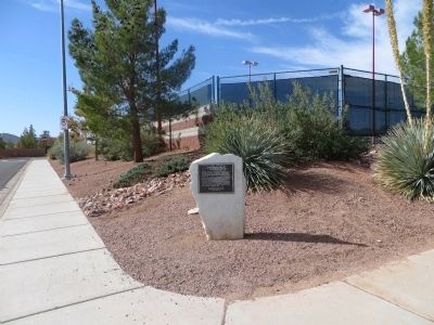
2. Arrowhead Trail Marker
Also see . . . New Amended Text for Marker. The Nevada State Historic Preservation Office (SHPO) recently updated the text of the roughly 260 state historical markers in Nevada. The Nevada SHPO placed the amended text of each individual marker on its website and will change the actual markers in the field as funding allows. Minor changes have been made to this marker for grammar and readability. The link will
Photographed by Bill Kirchner, October 3, 2013
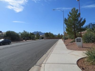
3. Arrowhead Trail Marker
Credits. This page was last revised on August 12, 2026. It was originally submitted on October 17, 2013, by Bill Kirchner of Tucson, Arizona. This page has been viewed 1,156 times since then and 54 times this year. Last updated on August 12, 2026, by Carol Shimer of Henderson, Nevada. Photos: 1, 2, 3. submitted on October 17, 2013, by Bill Kirchner of Tucson, Arizona. • Devry Becker Jones was the editor who published this page.
