Leesylvania in Prince William County, Virginia — The American South (Mid-Atlantic)
Rippon Lodge and Leesylvania
Photographed by Kevin W., January 2, 2025
1. Rippon Lodge and Leesylvania Marker
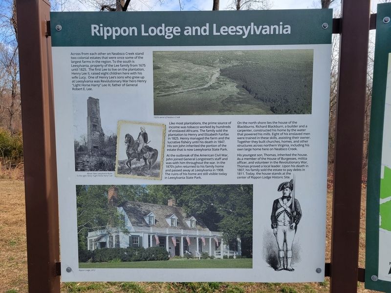
Like most plantations, the prime source of income was tobacco worked by hundreds of enslaved Africans. The family sold the plantation to Henry and Elizabeth Fairfax in 1825. Henry managed the farm and the lucrative fishery until his death in 1847. His son John inherited the portion of the estate that is now Leesylvania State Park.
At the outbreak of the American Civil War, John joined General Longstreet's staff and was with him throughout the war. In the 1870's John returned to his family home and passed away at Leesylvania in 1908. The ruins of his home are still visible today in Leesylvania State Park.
On the north shore lies the house of the Blackburns. Richard Blackburn,
this page online
His youngest son, Thomas, inherited the house. As a member of the House of Burgesses, militia officer, and volunteer in the Revolutionary War, Thomas proved a local leader. Upon his death in 1807, his family sold the estate to pay debts in 1811. Today, the house stands at the center of Rippon Lodge Historic Site.
Erected by Neabsco Regional Park.
Topics. This historical marker is listed in these topic lists: Colonial Era • Patriots & Patriotism. A significant historical year for this entry is 1675.
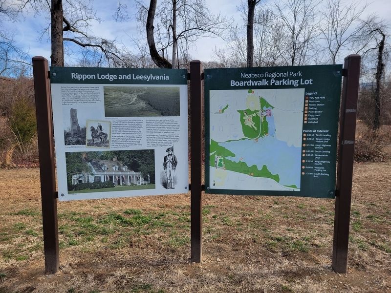
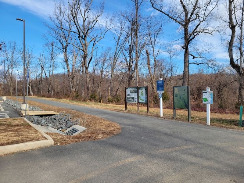
Location. 38° 36.941′ N, 77° 16.474′ W. Marker is in Leesylvania, Virginia, in Prince William County. It can be reached from the intersection of Blackburn Road and Admiral Black Drive, on the right when traveling north. Marker is in the main parking lot for the Neabsco Regional Park and Boardwalk Trail. Touch for map. Marker is at or
Photographed by Kevin W., January 2, 2025
2. Rippon Lodge and Leesylvania Marker

Regionally, this marker is in the Washington Metropolitan Area, in Northern Virginia, and in the Piedmont. It is also in the American South, specifically in the Upper South, in the Mid-Atlantic, and on the Eastern Seaboard. Globally, it is in the North Atlantic Region, North America, the Western Hemisphere, the Western World, and the Anglosphere. Historically, it finds itself in what was once the territory of the Mississippian Culture, one of the original Thirteen Colonies, one of the Confederate States of America, and the Antebellum South.
Other nearby markers. At least 8 other markers are within walking distance of this marker: The Doeg People (within shouting distance of this marker); Rippon Lodge (about 300 feet away, measured in a direct line); Neabsco Creek (approx. 0.2 miles away); a different marker also named Historic Landscape (approx. 0.2 miles away); Centuries of History (approx. 0.2 miles away); a different marker also named Latrobe's View (approx. 0.2 miles away); a different marker also named
Photographed by Kevin W., January 2, 2025
3. Rippon Lodge and Leesylvania Marker
Other markers no longer nearby. Historic Landscape (was approx. 0.2 miles away but has been replaced with another marker now near it); a different marker also named Centuries of History (was approx. 0.2 miles away but has been replaced with another marker now near it); Latrobe's View (was approx. 0.2 miles away but has been replaced with another marker now near it).

Photographed by Kevin W., January 2, 2025
4. Potomac Heritage Trail Information Marker
Credits. This page was last revised on August 12, 2026. It was originally submitted on August 12, 2026, by Kevin W. of Stafford, Virginia. This page has been viewed 12 times since then. Photos: 1, 2, 3, 4. submitted on August 12, 2026, by Kevin W. of Stafford, Virginia.
