Canton in Norfolk County, Massachusetts — The American Northeast (New England)
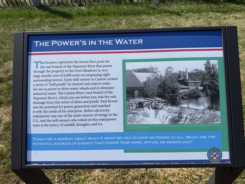
The Power’s in the Water
| — | Paul Revere Heritage Site | — |
Photographed by G.W.Bartlett, August 14, 2026
1. The Power of Water Marker
Think for a moment about what it might be like to have no power at all. What are the potential sources of energy that power your home, office, or workplace?
(image caption)
— In 1880 the dams that were here were 19.5 feet high, and their drop created 250 horsepower. Two steam turbines
this page online
Erected 2025 by Town of Canton.
Topics. This historical marker is listed in these topic lists: Industry & Commerce • Parks & Recreational Areas.
Location. 42° 9.301′ N, 71° 8.985′ W. Marker is in Canton, Massachusetts, in Norfolk County. It can be reached from Revolution Way east of Neponset Street, on the right when traveling north. Touch for map. Marker is in this post office area: Canton MA 02021, United States of America. Touch for directions.

Regionally, this marker is in Greater Boston. It is also in the American Northeast, in New England, and on the Eastern Seaboard. Globally, it is in the North Atlantic Region, North America, the Western Hemisphere, the Western World, and the Anglosphere. Historically, it finds itself in what was once one of the original Thirteen Colonies.
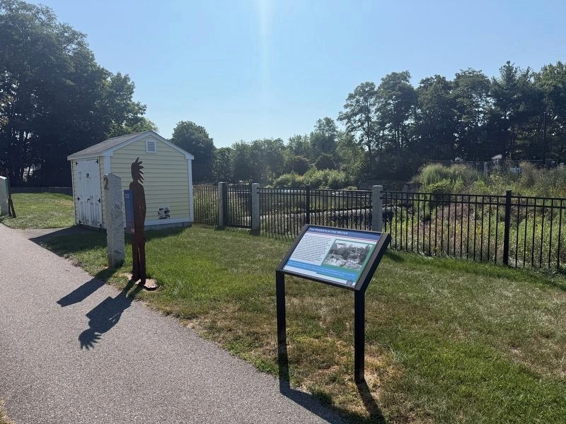
Other nearby markers. At least 8 other markers are within walking distance of this marker: Massachusett Tribe Member at Ponkapoag (here, next to this marker); Rubber Plant Worker (a few steps from this
Photographed by G.W.Bartlett, August 14, 2026
2. The Power of Water Marker
Related markers. Click here for a list of markers that are related to this marker. Other local historical mill sites.
Also see . . . Waterways - Paul Revere Museum.
Improvements in roads, bridges and waterways in the 18th century encouraged increased movement of goods and people as populations spread from Boston to outlying areas including Canton. The Neponset River’s flows encouraged dam-building and manufacturing as businesses sought to use water as an energy source.(Submitted on August 16, 2026, by G.W.Bartlett of Hingham, Massachusetts.)
Credits. This page was last revised on August 22, 2026. It was originally submitted on August 14, 2026, by G.W.Bartlett of Hingham, Massachusetts. This page has been viewed 17 times since then. Photos: 1, 2. submitted on August 14, 2026, by G.W.Bartlett of Hingham, Massachusetts. • Michael Herrick was the editor who published this page.
