Normangee in Madison County, Texas — The American South (West South Central)
El Camino Real
The Old San Antonio Road
Photographed by Gregory Walker, September 5, 2013
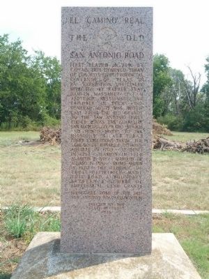
1. El Camino Real Marker
First blazed in 1691 by Captain Don Domingo Teran de Los Rios, first provincial governor of Texas, in an expedition officially directed by Father Fray Damian Massanet O.F.M. apostolic missionary and explorer in Texas. The general route was northeast from the Rio Grande to the San Antonio River thence across the Guadalupe, San Marcos, Colorado, Brazos, and Trinity Rivers to the missions in east Texas. Other expeditions taking the same route: Espinosa Olivares Aquirre in 1709, St. Denis in 1714, Ramon in 1716, Alarcon in 1718, Marquis of Aguayo in 1720, Moses Austin in 1820. The Republic of Texas officially made this road a boundary between a number of empresarial land grants.
Erected 1936 by State of Texas. (Marker Number 9621.)
Topics and series. This historical marker is listed in these topic lists: Exploration • Roads & Vehicles. In addition, it is included in the El Camino Real de los Tejas National Historic Trail, and the Texas 1936 Centennial Markers and Monuments series lists. A significant historical year for this entry is 1691.
Location. 31° 1.521′ N, 96° 6.916′ W.
this page online

Regionally, this marker is in the Prairies & Lakes Region. It is also in the American South. Globally, it is in North America, a Gulf of Mexico state, the Western Hemisphere, the Western World, and the Anglosphere. Historically, it finds itself in what was once New Spain, the Republic of Texas, one of the Confederate States of America, and the Antebellum South.
Other nearby markers. At least 8 other markers are within 9 miles of this marker, measured as the crow flies: Kings Highway Camino Real — Old San Antonio Road (approx. 1.3 miles away); a different marker also named Kings Highway Camino Real — Old San Antonio Road (approx. 4.8 miles away); Rock Prairie Cemetery (approx. 7.4 miles away); a different marker also named Kings Highway Camino Real — Old San Antonio Road
Photographed by Gregory Walker, September 5, 2013
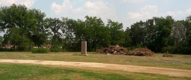
2. El Camino Real Marker location.
Photographed by James Hulse, October 15, 2020
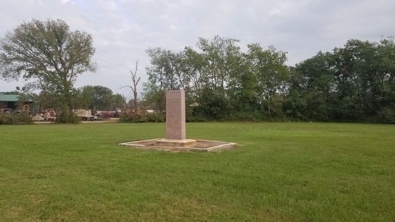
3. El Camino Real Marker
Credits. This page was last revised on August 17, 2026. It was originally submitted on September 15, 2013, by Gregory Walker of La Grange, Texas. This page has been viewed 1,599 times since then and 108 times this year. Last updated on August 15, 2026, by Joe Lotz of Flower Mound, Texas. Photos: 1, 2. submitted on September 15, 2013, by Gregory Walker of La Grange, Texas. 3. submitted on October 16, 2020, by James Hulse of Medina, Texas. • Devry Becker Jones was the editor who published this page.
