Northport in Tuscaloosa County, Alabama — The American South (East South Central)
Alabama's Historic Byler Road
Alabama's First Road
Photographed by Darren Jefferson Clay, July 12, 2026
1. Alabama's Historic Byler Road Marker
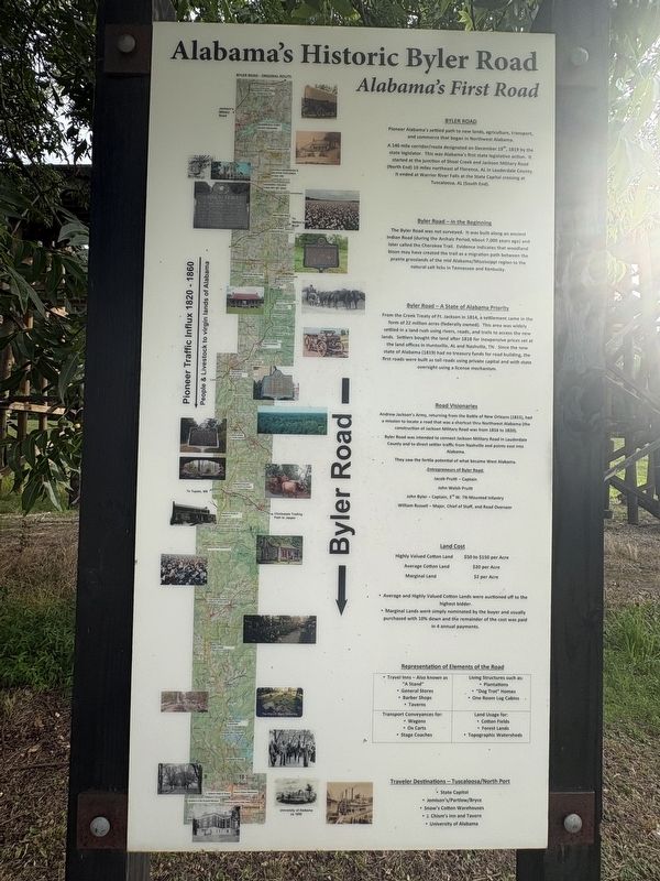
140 mile corridor/route designated on December 19th, 1819 by the State Legislature. This was Alabama's first legislative action. It started at the junction of Shoal Creek and Jackson Military Road (north end), 10 miles NE of Florence AL in Lauderdale County. It ended at the Warrior River Falls at the State Capitol crossing at Tuscaloosa (south end).
this page online
Byler Road was intended to connect Jackson Military Road in Lauderdale County and to direct settler traffic from Nashville and points east into Alabama.
They saw the fertile potential of what became West Alabama.
Entrepreneurs of Byler Road: Jacob Pruitt - Captain • John Welsh Pruitt • John Byler - Captain, 3rd W. TN Mounted Infantry • William Russell - Major, Chief of Staff, and Road Overseer
• Average and Highly Valued Cotton Lands were auctioned off to the highest
Photographed by Darren Jefferson Clay, July 12, 2026
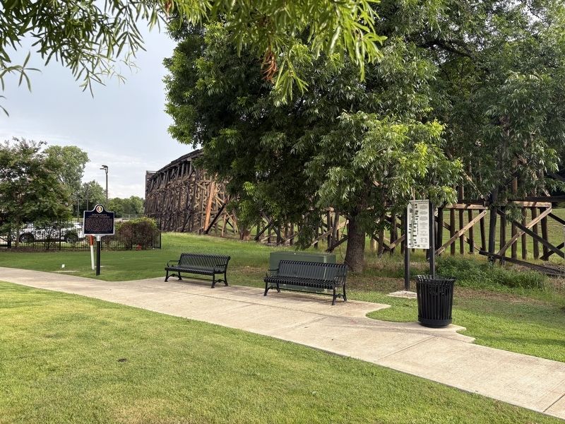
2. Alabama's Historic Byler Road Marker
• Marginal Lands were simply nominated by the buyer and usually purchased with 10% down and the remainder of the cost was paid in 4 annual payments.
Transport Conveyances for: Wagons • Ox Carts • Stage Coaches
Living Structures such as: Plantations • "Dog Trot" Homes • One Room Log Cabins
Land Usage for: Cotton Fields • Forest Lands • Topographic Watersheds
Topics. This historical marker is listed in this topic list: Roads & Vehicles. A significant historical date for this entry is December 19, 1819.
Location. 33° 12.939′ N, 87° 34.64′ W. Marker is in Northport, Alabama, in Tuscaloosa County. It is at the intersection of Main Avenue and 1st Street, on the right when traveling south on Main Avenue. Touch for map. Marker is at or near this postal address: 102 Main Ave, Northport AL 35476, United States of America. Touch for directions.

Regionally, this marker is in the American South and specifically in the Deep South. Globally, it is in North America, a Gulf of Mexico state, the Western Hemisphere, the Western World, and the Anglosphere. Historically, it finds itself in what was once the territory of the Mississippian Culture, one of the Confederate States of America, and the Antebellum South.
Other nearby markers. At least 8 other markers are within walking distance of this marker: Northport's Cotton Industry / Original Village of North Port (here, next to this marker); Home Guard Defended Covered Bridge / Bridging The Black Warrior River (approx. ¼ mile away); Shirley Place (approx. ¼ mile away); Horace King (approx. 0.3 miles away); Captain Benjamin F. Eddins (approx. 0.3 miles away); Medeiros Point (approx. 0.3 miles away); Burns’ Shoals (approx. 0.3 miles away); Navigation and Shipbuilding On The Black Warrior River (approx. 0.4 miles away). Touch for a list and map of all markers in Northport.
Credits. This page was last revised on August 17, 2026. It was originally submitted on August 15, 2026, by Darren Jefferson Clay of Duluth, Georgia. This page has been viewed 28 times since then. Photos: 1, 2. submitted on August 15, 2026, by Darren Jefferson Clay of Duluth, Georgia. • James Hulse was the editor who published this page.
