White Clay Creek Hundred in Newark in New Castle County, Delaware — The American Northeast (Mid-Atlantic)
University of Delaware
A Brief History
| — | The Green Campus Buildings | — |
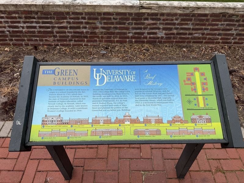
The University of Delaware traces its origins to a school founded by the Rev. Francis Alison in 1743, which later became the Academy of Newark. In 1833, the state of Delaware chartered its first institute of higher education, called Newark College, in Newark, which was closely tied to the academy. Later known as Delaware College, it—with a coordinate Women's College founded in 1914—became the University of Delaware in 1921. Old College Hall, the college's first building, standing across Main Street to the north, was built by 1834. In 1915, thanks to generous support from two prominent Delawareans, P.S. du Pont and H. Rodney Sharp, the college's trustees acquired land south of Main Street and planned the portion of The Green that you see before you. Buildings were designed in the Georgian style popular in colonial Delaware, and the first on the Green—Wolf Hall and Harter Hall—were completed by 1917. The central focal point is Memorial Hall, originally the University Library, which was built in 1924 as a memorial to Delawareans who died in the First World War.
Erected by University of Delaware.
Topics and series.
this page online
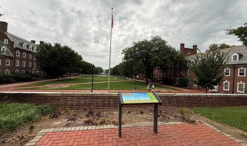
Location. 39° 40.977′ N, 75° 45.155′ W. Marker is in Newark, Delaware, in New Castle County. It is in White Clay Creek Hundred. It is at the intersection of East Main Street and The Green, on the left when traveling west on East Main Street. Touch for map. Marker is at or near this postal address: 26 E Main St, Newark DE 19711, United States of America. Touch for directions.

Regionally, this marker is in Greater Wilmington and in Greater Philadelphia. It is also in the American Mid-Atlantic, on the Delmarva Peninsula, and on the Eastern Seaboard. Globally, it is in the North Atlantic Region, North America, the Western Hemisphere, the Western World, and the Anglosphere. Historically, it finds itself in what was once New Netherland and also one of the original Thirteen Colonies.
Other nearby markers. At least 8 other markers are within walking distance of this marker: Harry Fletcher Brown (1867-1944)
Another marker is no longer nearby. The Diamonds Walkway (was about 300 feet away but has been replaced with another marker now near it).
Related marker. Click here for another marker that is related to this marker. A nearly identical marker stands on the opposite end of The Green.
Credits. This page was last revised on August 19, 2026. It was originally submitted on August 16, 2026, by Devry Becker Jones of Washington, District of Columbia. This page has been viewed 21 times since then. Photos: 1, 2. submitted on August 16, 2026, by Devry Becker Jones of Washington, District of Columbia.
