Hull Village in Plymouth County, Massachusetts — The American Northeast (New England)
Fort Revere Park

Photographed by G.W.Bartlett, August 15, 2026
1. Fort Revere Park Marker
In 1777 the early fort had 15 guns and a military hospital. These guns were placed in low fortifications with small openings or embrasures in parapets (low protective walls). In 1782 the fort was deactivated.
In 1797 the War Department, having difficulty naming a new area fort, transferred the name "fort independence" over from Hull to Castle Island, which retains that name to this day After that the locals referred to the fort as "the French for With no recorded activity in the War of 1812. the fort fell out of use after 1815 with the remains of the old fort demolished and covered up.
The Endicott Period - Fort Revere was included in the large scale Endicott program, which included the seven(7) forts in the Harbor defenses of Boston. The fort's batteries were built in 1898-1906.
The fort's main armament was the
this page online
The two 5-inch guns of Battery Field were a type of disappearing carriage that allowed the gun to be dropped down out of sight when not in use. This design of gun had to be lowered after each shot to reload.
The Later Years - Telegraph Hill was resurrected in 1897 as part of the Endicott Board of the War Department's plans for a Boston Harbor defense system in 1898-1906 construction took place on the 77 acres which had been purchased from the Town of Hull and named the Fort Revere Reservation Troops were stationed there during the Spanish-American War of 1898.
In early August 1948 The War Department declared Fort Revere surplus. The Commonwealth of Massachusetts was bequeathed the site of the actual fort. After the Town of Hull purchased nearly 8 acres for its cemetery, the remaining land was auctioned off to a single bidder who then subdivided the land for private development.
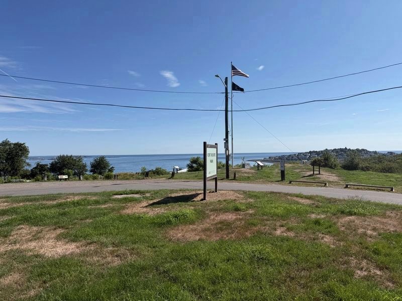
Photographed by G.W.Bartlett, August 15, 2026
2. Fort Revere Park
(image captions)
— Boston Inner Harbor Defenses Up Until WWII: Fort Ruckman · Fort Dawes · Fort Independence · Fort Strong · Fort Standish · Fort Warren · Fort Andrews · Fort Revere
— A Star-shaped Fortress (indicated on this property map) once existed on top of Telegraph Hill
Erected by Town of Hull Massachusetts.
Topics. This historical marker is listed in these topic lists: Forts and Castles • Parks & Recreational Areas • Patriots & Patriotism.
Location. 42° 18.275′ N, 70° 54.218′ W. Marker is in Hull, Massachusetts, in Plymouth County. It is in Hull Village. It is on Farina Road east of Nantasket Avenue, on the left when traveling east. Touch for map. Marker is in this post office area: Hull MA 02045, United States of America. Touch for directions.

Regionally, this marker is on the South Shore. It is also in the American Northeast, in New England, and on the Eastern Seaboard. Globally, it is in the North Atlantic Region, North America, the Western
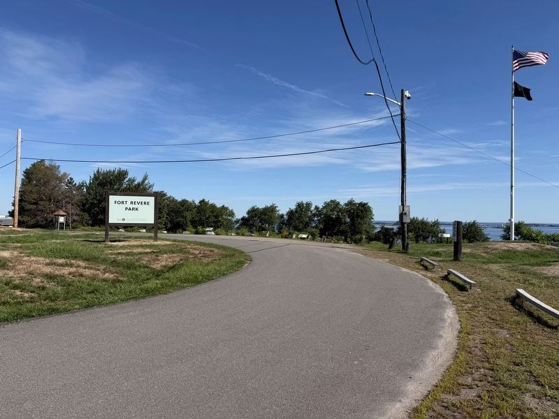
Photographed by G.W.Bartlett, August 15, 2026
3. Fort Revere Park
Other nearby markers. At least 8 other markers are within walking distance of this marker: Fort Revere Artillery Batteries (a few steps from this marker); In Memory of the French Military Who Died in Hull (a few steps from this marker); The Brewster Islands (a few steps from this marker); A Fascinating Tale (a few steps from this marker); Fort Independence (a few steps from this marker); Tower on Telegraph Hill (a few steps from this marker); Telegraph Hill (within shouting distance of this marker); Fort Revere Officers’ Quarters, c. 1903 (about 500 feet away, measured in a direct line). Touch for a list and map of all markers in Hull.
Related markers. Click here for a list of markers that are related to this marker. Fort Revere Officer's Quarters and a few other sites maintained in memory of Paul Revere.
Also see . . . Fort Revere (Wikipedia).
Fort Revere is an 8-acre (3.2 ha) historic site situated on a small peninsula located in Hull, Massachusetts. It is situated on Telegraph(Submitted on August 16, 2026, by G.W.Bartlett of Hingham, Massachusetts.)Hill in Hull Village and contains the remains of two seacoast fortifications, one from the American Revolution and one that served 1898–1947.Photographed by G.W.Bartlett, August 16, 20264. Additional Information Kiosk
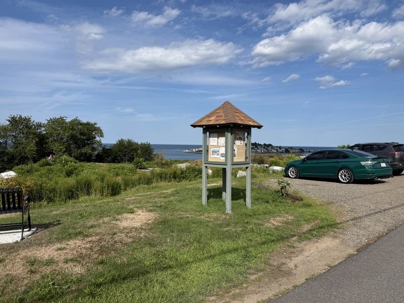
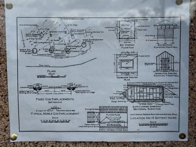
Photographed by G.W.Bartlett, August 16, 2026
5. A Plan of Fort Revere
Photographed by G.W.Bartlett, August 16, 2026
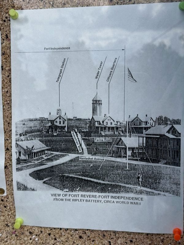
6. A View of Fort Revere circa WWI
Credits. This page was last revised on August 23, 2026. It was originally submitted on August 16, 2026, by G.W.Bartlett of Hingham, Massachusetts. This page has been viewed 18 times since then. Photos: 1, 2, 3, 4, 5, 6. submitted on August 16, 2026, by G.W.Bartlett of Hingham, Massachusetts. • Michael Herrick was the editor who published this page.
