Pittsford in Bushnell's Basin in Monroe County, New York — The American Northeast (Mid-Atlantic)
Bushnell's Basin
Photographed by Rowan Hawkins, September 19, 2025
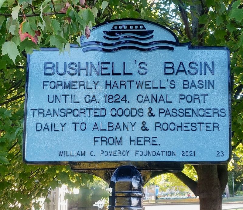
1. Bushnell's Basin Marker
until ca. 1824. Canal port
transported goods & passengers
daily to Albany & Rochester
from here.
Erected 2021 by William Pomeroy Foundation. (Marker Number 23.)
Topics. This historical marker is listed in these topic lists: Industry & Commerce • Waterways & Vessels. A significant historical year for this entry is 1824.
Location. 43° 3.72′ N, 77° 28.633′ W. Marker is in Bushnell's Basin, New York, in Monroe County. It is in Pittsford. It is at the intersection of Pittsford-Victor Road (New York State Route 96) and Marsh Road (County Route 38), on the left when traveling east on Pittsford-Victor Road. Touch for map. Marker is at or near this postal address: 640 Pittsford-Victor Road, Pittsford NY 14534, United States of America. Touch for directions.

Regionally, this marker is in Upstate New York, specifically in Western New York, in the Finger Lakes, and in the Rochester Metropolitan Area. It is also in the American Northeast and in the Mid-Atlantic. Globally, it is in North America, on the Great Lakes, in the Western Hemisphere, in the Western World, and in the Anglosphere.
this page online
Other nearby markers. At least 8 other markers are within 2 miles of this marker, measured as the crow flies: Richardson Tavern (within shouting distance of this marker); Historic Landmark (approx. 0.7 miles away); Harris Beach 9/11 Memorial (approx. 0.9 miles away); Seneca Trail (approx. 0.9 miles away); The Story of the Powder Mills (approx. 1.1 miles away); Erie Canal (approx. 1.1 miles away); Building the Great Embankment (approx. 1.1 miles away); Cartersville (approx. 1½ miles away). Touch for a list and map of all markers in Bushnell's Basin.
Another marker is no longer nearby. Bushnell's Basin (was a few steps from this marker but has been replaced with another marker now near it).
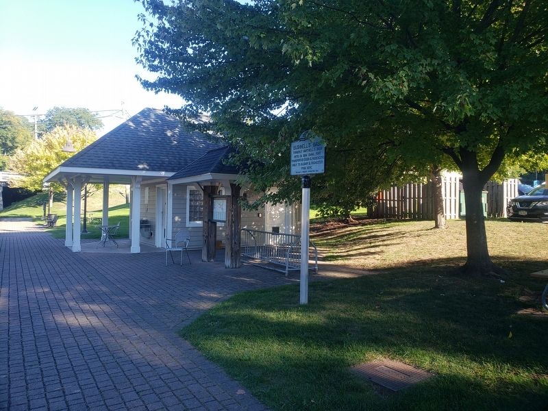
More about this marker. Located Along the south side of the Erie Canal adjacent to the Dockmaster’s building for the Basin.
Photographed by Rowan Hawkins, September 19, 2025
2. Bushnell's Basin Marker
Credits. This page was last revised on August 29, 2026. It was originally submitted on August 17, 2026, by Rowan Hawkins of Upstate, Ny, Usa. This page has been viewed 17 times since then. Photos: 1, 2. submitted on August 17, 2026, by Rowan Hawkins of Upstate, Ny, Usa. • Michael Herrick was the editor who published this page.
