Denfield in North Middlesex in Middlesex County, Ontario — Central Canada (North America)
East Williams Baptist Church and Cemetery
Photographed by Tim Boyd, August 14, 2026
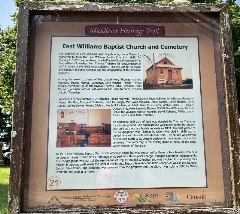
1. East Williams Baptist Church and Cemetery Marker
Among the seven trustees of the church were Thomas Hughes, yeoman; George Harcus, carpenter, John Hughes, Phillip Thomas Rosser, merchant, all of McGillivray; Thomas Daniel, yeoman, Peter McEwen, yeoman both of East Williams and John Treharne, yeoman of Lobo Township.
Subscribers to the church in 1874 included Donald McEwen, Thomas Daniel, Peter McEwen, John Harper, Benjamin Harper, Mrs Barr, Margaret Treharne, John McDougal, Mrs Ewen McEwen, Daniel Daniel, Daniel Hughes, John Daniel, James Dewer, Robert Gilchrist, Hugh McLachlan, Archibald Gray, Mrs Munroe, Archie Gillies, J. T. Owen, Duncan Gray, Peter Lamont, Thomas McCall, David Thomas, Thomas Daniel the younger, Hannah Fraleigh, David Treharne, Phillip Lumby,
this page online
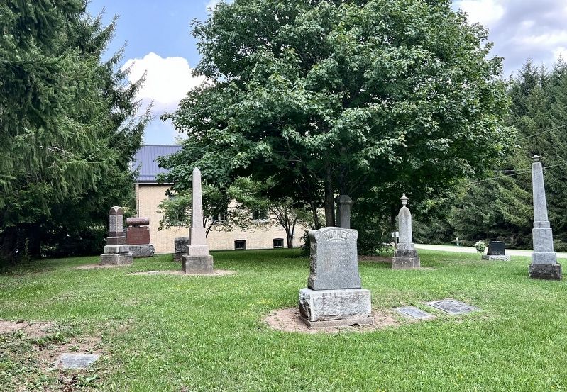
An additional half acre of land was donated by Thomas Treharne for a burial ground. The burial ground was in use before the church was built as there are burials as early as 1863. The first pastor of the congregation was Thomas R. Owen who died in 1869 and is buried here with his wife who died in 1905. The church was moved several feet north to its present position to make more room in the cemetery. The cemetery is the resting place of many of the early Welsh settlers of the area.
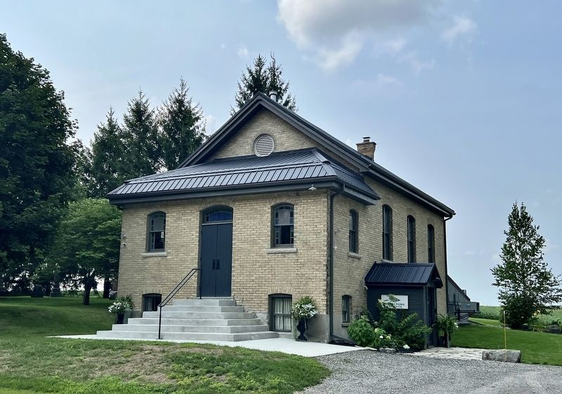
In 1997 East Williams Baptist Church was officially closed but was supported by three or four families who held services on a year-round basis. Although once part of a three-point charge, it began operating independently. The congregation was part of the Association of Regular Baptist Churches and was involved in supporting their mission programs, particularly the work of the Toronto Baptist Seminary and Bible College, as well as the Saugeen Baptist Bible Camp. The cemetery was severed from the property and the church was sold in 2000 to Nancy Montieth and used as a home.
Erected by North Middlesex/Middlesex county.
Photographed by Tim Boyd, August 14, 2026
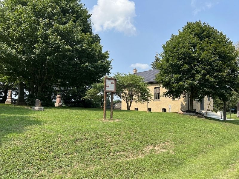
2. East Williams Baptist Church and Cemetery Marker
Topics. This historical marker is listed in these topic lists: Cemeteries & Burial Sites • Religion & Religious Structures. A significant historical year for this entry is 1865.
Location. 43° 4.659′ N, 81° 32.12′ W. Marker is in North Middlesex, Ontario, in Middlesex County. It is in Denfield. It is on Fernhill Drive 0.2 kilometers west of Nairn Road (County Road 17), on the right when traveling west. Touch for map. Marker is at or near this postal address: 10810 Fernhill Drive, North Middlesex ON N0M 1P0, Canada. Touch for directions.

Regionally, this marker is in the Southwest Ontario Area and in Southwestern Ontario. It is also in Central Canada. Globally, it is in North America, the Western Hemisphere, the Western World, and the Anglosphere. Historically, it finds itself in what was once a British colony, the Viceroyalty of New France, the Haudenosaunee (Iroquois) Confederacy, and Rupert’s Land.
Other nearby markers. At least 8 other markers are within 13 kilometers of this marker, measured as the crow flies: McTaggart Cemetery (approx. 3.9 kilometers away); a different marker also named
Photographed by Tim Boyd, August 14, 2026
3. Former East Williams Baptist Church and Cemetery in 2026
Photographed by Tim Boyd, August 14, 2026
4. Former East Williams Baptist Church in 2026
Credits. This page was last revised on August 18, 2026. It was originally submitted on August 17, 2026, by Tim Boyd of Hamilton, Ontario. This page has been viewed 10 times since then. Photos: 1, 2, 3, 4. submitted on August 17, 2026, by Tim Boyd of Hamilton, Ontario. • Andrew Ruppenstein was the editor who published this page.
