Hull Village in Plymouth County, Massachusetts — The American Northeast (New England)
Fort Revere Officers’ Quarters, c. 1903

Photographed by G.W.Bartlett, August 15, 2026
1. Fort Revere Officers’ Quarters, c. 1903 Marker
DCR's Historic Curatorship Program
Preserving the past through public-private partnership
The 1903 Fort Revere Officers' Quarters in the latest property to be preserved through DCR's nationally recognized Historic Curatorship Program. With no agency reuse, the vacant building had fallen into disrepair. The Curator was selected through an open and competitive process and has committed to the rehabilitation, management and maintenance of the property as a two-family residence for the next twenty- five years.
The 1903 Officers Quarters at Ft. Revere is an intact example of standardized housing built for military personnel at the turn of the century. Ft. Revere served as a military base from the Revolutionary period to the mid-20th Century. The building and much of the concrete bastions of Ft. Revere were built as part of an aggressive coastal defense program referred to as the Endicott Period which lasted from 1885 to 1905.
(Illustration captions)
Officers Quarters, early 20th Century
Arial photograph, Ft. Revere, early 20th century Officers' Quarters
Major Curator Investments:
this page online
• Restoration of original windows
• Repair of original clapboard siding
• Repairs to significant interior features
• Making the property available for public tours
Value of rehab, maintenance & management services: $1.1 million
website: tinyurl.com/ma-curators
email: [email protected]
mail: 251 Causeway St., Boston, MA 02114
phone: 617-626-1361
Erected by Department of Conservation & Recreation.
Topics. This historical marker is listed in these topic lists: Forts and Castles • Parks & Recreational Areas. A significant historical year for this entry is 1903.
Location. 42° 18.243′ N, 70° 54.332′ W. Marker is in Hull, Massachusetts, in Plymouth County. It is in Hull Village. It is on Farina Road, on the left when traveling north. Touch for map.

Photographed by G.W.Bartlett, August 15, 2026
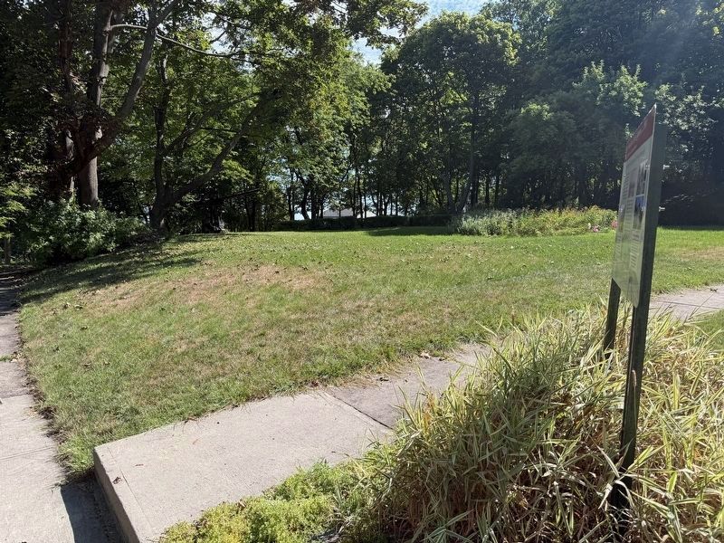
2. Fort Revere Officers’ Quarters, c. 1903 Marker (wide)

Regionally, this marker is on the South Shore. It is also in the American Northeast, in New England, and on the Eastern Seaboard. Globally, it is in the North Atlantic Region, North America, the Western Hemisphere, the Western World, and the Anglosphere. Historically, it finds itself in what was once one of the original Thirteen Colonies.
Other nearby markers. At least 8 other markers are within walking distance of this marker: A Fascinating Tale (about 500 feet away, measured in a direct line); Fort Revere Artillery Batteries (about 500 feet away); Tower on Telegraph Hill (about 500 feet away); Fort Revere Park (about 500 feet away); In Memory of the French Military Who Died in Hull (about 600 feet away); The Brewster Islands (about 600 feet away); Fort Independence (about 600 feet away); Telegraph Hill (about 600 feet away). Touch for a list and map of all markers in Hull.
Related marker. Click here for another marker that is related to this marker. Fort Revere Park

Photographed by G.W.Bartlett, August 15, 2026
3. Fort Revere Officers’ Quarters
QUARTERS
U.S. Department of Defense
Built in
1903

Photographed by G.W.Bartlett, August 15, 2026
4. Fort Revere Officers’ Quarters
Massachusetts
FORT REVERE
OFFICERS' QUARTERS
1903

Photographed by G.W.Bartlett, August 15, 2026
5. Stairway to Fort Revere
where the sidewalk
enters the treeline.
Photographed by G.W.Bartlett, August 15, 2026
6. Historic Gun Display
A historic gun is displayed in the yard in the shade beneath the trees.
Credits. This page was last revised on August 28, 2026. It was originally submitted on August 17, 2026, by G.W.Bartlett of Hingham, Massachusetts. This page has been viewed 12 times since then. Photos: 1, 2, 3, 4, 5, 6. submitted on August 17, 2026, by G.W.Bartlett of Hingham, Massachusetts. • Andrew Ruppenstein was the editor who published this page.
