Alamo Plaza in San Antonio in Bexar County, Texas — The American South (West South Central)
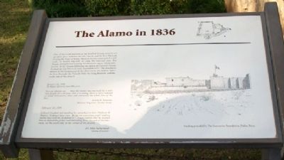
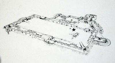
The Alamo in 1836
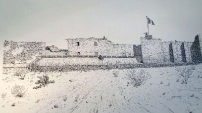
One of the weakest points of the fortified former mission was an open space between the old church and the Low Barrack. During the Siege of Béxar, Mexican troops constructed a palisade, or double log-wall, to close the exposed area. The Texans strengthened existing fortifications upon taking possession of the Alamo following the defeat of General Martin Perfecto de Cos' forces in early December 1835. The structures shown in the foreground of the illustration are (left to right) the Low Barrack, the Palisade Wall, the Long Barrack, and the south side of the church.
January 18, 1836
To Major General Sam Houston
You can plainly see...that the Alamo was not built by a military people for a fortress, tho' it is strong, there is not a redoubt [a small breastwork] that will command the whole line of the fort....
Green B. Jameson
Military Engineer, Texian Army
February 23, 1836
Colonel Crockett yet standing by, remarked to him [William B. Travis], “Colonel, here I am. Assign me a position, and I and my twelve boys will try to defend it.” Travis replied that he wanted him to defend the picket wall extending from the end of the barracks, on the south side, to the corner of the church.
Dr. John Sutherland
Alamo Courier
Erected by Daughters of the Republic of Texas.
Topics. This historical marker is listed in these topic lists: Churches & Religion • Heroes • Man-Made Features • Military • Notable Events • Notable Places • Patriots & Patriotism • Settlements & Settlers • War, Texas Independence. A significant historical month for this entry is January 1812.
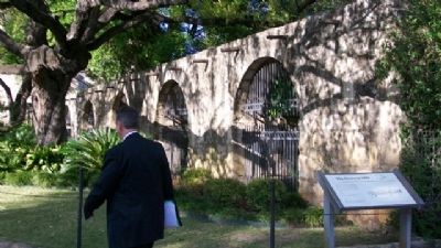
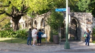
Location. 29° 25.514′ N, 98° 29.183′ W. Marker is in San Antonio, Texas, in Bexar County. It is in Alamo Plaza. Marker is at the intersection of Crockett Street and Alamo Plaza, on the right when traveling west on Crockett Street. Marker is near the south boundary wall around the Alamo Shrine grounds, across Crockett Street from the Menger Hotel. Touch for map. Marker is at or near this postal address: 300 Alamo Plaza, San Antonio TX 78205, United States of America. Touch for directions.
Other nearby markers. At least 8 other markers are within walking distance of this marker. Cannon From the Battle of the Alamo (a few steps from this marker); a different marker also named Cannon From the Battle of the Alamo (a few steps from this marker); Soldiers of the War of 1812 Who Fought for Texas (within shouting distance of this marker); a different marker also named Cannon From the Battle of the Alamo (within shouting distance of this marker); Teddy Roosevelt, Jr. (within shouting distance of this marker); Late 18th Century Cannon (within shouting distance of this marker); The Palisade (within shouting distance of this marker); San Antonio Section - National Council of Jewish Women (within shouting distance of this marker). Touch for a list and map of all markers in San Antonio.
Credits. This page was last revised on February 2, 2023. It was originally submitted on May 18, 2010, by William Fischer, Jr. of Scranton, Pennsylvania. This page has been viewed 1,665 times since then and 29 times this year. Photos: 1, 2, 3, 4, 5. submitted on May 18, 2010, by William Fischer, Jr. of Scranton, Pennsylvania.
