Lucan in North Middlesex in Middlesex County, Ontario — Central Canada (North America)
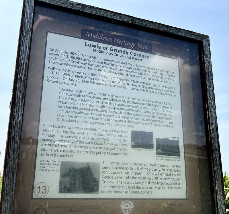
Lewis or Grundy Corners
McGillivray Drive and Highway 4
| — | Middlesex Heritage Trail | — |
Photographed by Tim Boyd, August 14, 2026
1. Lewis or Grundy Corners Marker
The township was named for Simon McGillivray a founding director of the Canada Company. William and Jane Lewis and their family, from Tipperary Ireland, settled on Lot 15 Concession 1 in 1840. With children of their own and so many Irish families settling in the area, a school was needed. On July 20, 1848 William sold ½ acre to the Trustees of Biddulph and McGillivray for School Section #2.
"Between William Lewis and his wife Jane of the first part and Isaac Moody, Patrick Flanagan both of McGillivray and William Hodgins, Township of Biddulph, Trustees of S.S.# 2 in consideration of 15 shillings lawful money of Canada...½ AcreS. E. Angle of Lot 15 Con 1 McGillivray with the express understanding that the parcel of land is to be a burying ground particularly for people of this vicinity to bury the dead therein, and the schoolhouse is to be opened to all religious'sex' and denominations to hold Divine Service therein from time to time and at all times so as not to interfere with the Daily school or other appointments previously made."
Click or scan to see
this page online
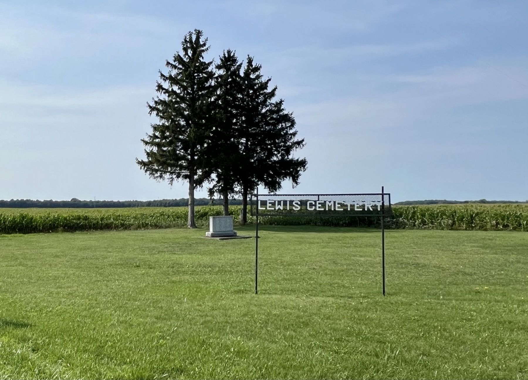
A log building was soon erected. It was used as both school during the week and a place of worship on Sunday. A cemetery was established around the building and many of the early Lewis family members are buried here. The cemetery was in disrepair and the stones were moved. A cairn was put up to honour the settlers buried here.
The corner became known as 'Lewis' Corners'. William Lewis sold the north half of the property, 50 acres, to his son Joseph Lewis in 1847. After William died his son George Lewis sold the south half, 49½ acres to John Grundy. The Grundy family built the brick house still on the property and lived there for many years. The corner became known as 'Grundy Corners'.
Erected by North Middlesex/Middlesex County. (Marker Number 13.)
Topics. This historical marker is listed in these topic lists: Cemeteries & Burial Sites • Education • Religion & Religious Structures • Settlements & Settlers. A significant historical year for this entry is 1840.
Location. 43° 12.962′ N,
Photographed by Tim Boyd, August 14, 2026
2. Lewis or Grundy Corners Marker
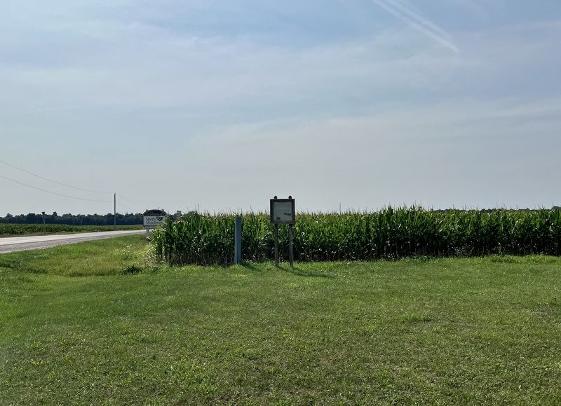
Facing west on McGillivray Drive

Regionally, this marker is in the Southwest Ontario Area and in Southwestern Ontario. It is also in Central Canada. Globally, it is in North America, the Western Hemisphere, the Western World, and the Anglosphere. Historically, it finds itself in what was once a British colony, the Viceroyalty of New France, the Haudenosaunee (Iroquois) Confederacy, and Rupert’s Land.
Other nearby markers. At least 8 other markers are within 6 kilometers of this marker, measured as the crow flies: Lieut-Col. James Hodgins (approx. 2.5 kilometers away); St. James Anglican Church & Cemetery (approx. 2.5 kilometers away); Sauble Hill - Wilberforce Cemetery (approx. 3 kilometers away); The Wilberforce Settlement / L’Établissement Wilberforce (approx. 5.2 kilometers
Photographed by Tim Boyd, August 14, 2026
3. Lewis Cemetery (Lewis Corners), 2026
Credits. This page was last revised on August 18, 2026. It was originally submitted on August 18, 2026, by Tim Boyd of Hamilton, Ontario. This page has been viewed 12 times since then. Photos: 1, 2, 3. submitted on August 18, 2026, by Tim Boyd of Hamilton, Ontario. • Andrew Ruppenstein was the editor who published this page.
