Victoria in Riverside in Riverside County, California — The American West (Pacific Coastal)
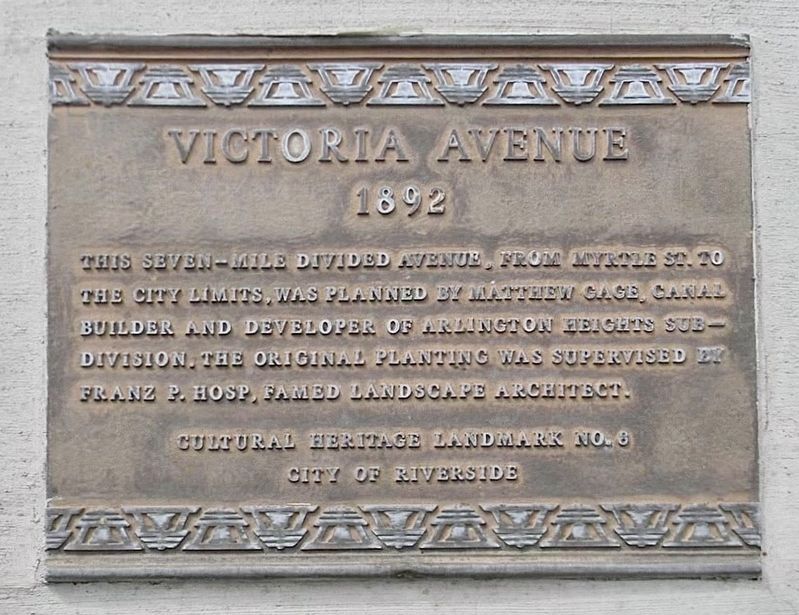
Victoria Avenue
1892
Photographed by Craig Baker
1. Victoria Avenue Marker
This seven-mile divided avenue, From Myrtle St. to the city limits, was planned by Matthew Gage, canal builder and developer of Arlington Heights Subdivison. The original planting was supervised by Franz P. Hosp, famed landscape architect.
Erected by City of Riverside. (Marker Number 8.)
Topics and series. This historical marker is listed in this topic list: Roads & Vehicles. In addition, it is included in the Riverside Cultural Heritage Board Landmarks series list. A significant historical year for this entry is 1892.
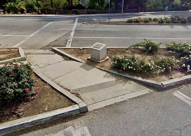
Location. 33° 57.429′ N, 117° 22.225′ W. Marker is in Riverside, California, in Riverside County. It is in Victoria. It is at the intersection of Victoria Avenue and Myrtle Avenue, in the median on Victoria Avenue. Touch for map. Marker is at or near this postal address: 5216 Victoria Ave, Riverside CA 92506, United States of America. Touch for directions.

Regionally, this marker is in Greater Los Angeles, in the Inland Empire, and in the Peninsular Ranges. It is also in the American Southwest. Globally, it is in North America, on the Ring of Fire, on the Pacific Rim, in the Western Hemisphere,
this page online
Other nearby markers. At least 8 other markers are within walking distance of this marker: Roosevelt Palm (a few steps from this marker); Martin Chase House (about 400 feet away, measured in a direct line); Victoria Bridge (approx. 0.4 miles away); Gore Manor (approx. 0.6 miles away); Nielsen Pool House (approx. 0.6 miles away); James M. Wood House (approx. 0.6 miles away); Ernest and Louise Clarke House (approx. 0.9 miles away); Emerson and Mary Holt House (approx. 0.9 miles away). Touch for a list and map of all markers in Riverside.
Regarding Victoria Avenue.
City of Riverside Historical Landmark No. 8 statement of significance:
Victoria Avenue (Myrtle Avenue, southwest seven miles ending at Boundary Lane):
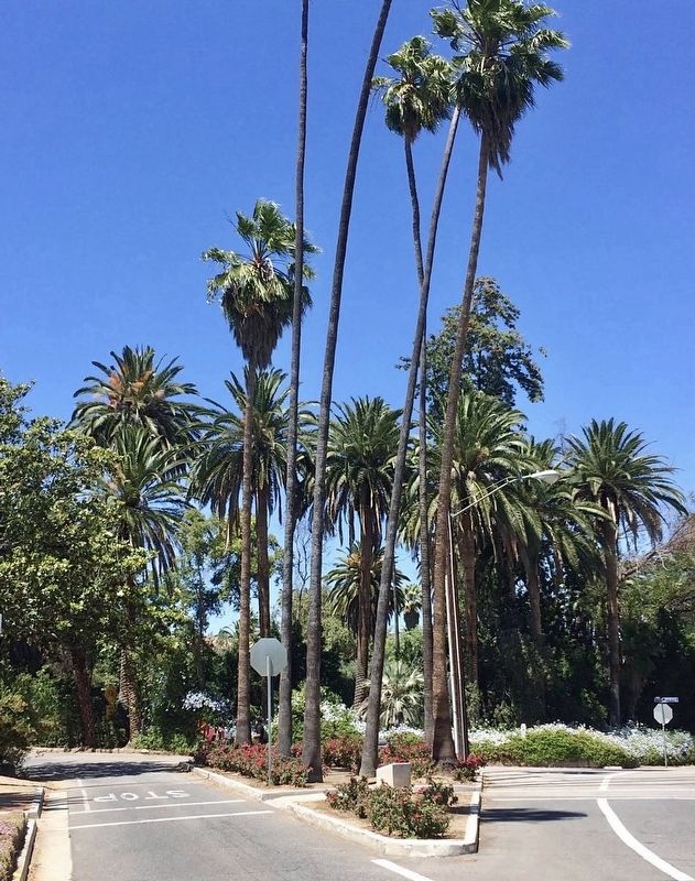
This landscaped divided avenue was developed to connect the 1890 Arlington Heights subdivision to downtown. Grading was completed in 1892. Landscape architect Franz P. Hosp supervised the original planting; the avenue now includes over 90 species of trees as well as numerous shrubs.
Related marker.
Photographed by Craig Baker
2. Victoria Avenue Marker
Photographed by Craig Baker
3. Victoria Avenue Marker
Credits. This page was last revised on September 21, 2026. It was originally submitted on August 19, 2026, by Craig Baker of Sylmar, California. This page has been viewed 25 times since then. Photos: 1, 2, 3. submitted on August 19, 2026, by Craig Baker of Sylmar, California.
Editor’s want-list for this marker. Photos of the information kiosk 100 feet southwest of this marker, on its own marker page, and a similar kiosk at Victoria & La Sierra Ave. • Can you help?
