Lucan in Lucan Biddulph in Middlesex County, Ontario — Central Canada (North America)
Lieut-Col. James Hodgins

Photographed by Tim Boyd, August 14, 2026
1. Lieut-Col. James Hodgins Marker
Erected 1932 by Descendants of Col. Hodgins.
Topics. This historical marker is listed in these topic lists: Cemeteries & Burial Sites • Religion & Religious Structures • Settlements & Settlers. A significant historical year for this entry is 1832.
Location. 43° 11.979′ N, 81° 26.093′ W. Marker is in Lucan Biddulph, Ontario, in Middlesex County. It is in Lucan. It is on Richmond Street (Highway 4) 0.8 kilometers north of Coursey Line, on the right when traveling north. Touch for map. Marker is at or near this postal address: 34102 Richmond Street, Lucan Biddulph ON N0M 2J0, Canada. Touch for directions.

Regionally, this marker is in the Southwest Ontario Area and in Southwestern Ontario. It is also in Central Canada. Globally, it is in North America, the
this page online
Other nearby markers. At least 8 other markers are within 3 kilometers of this marker, measured as the crow flies: St. James Anglican Church & Cemetery (a few steps from this marker); Sauble Hill - Wilberforce Cemetery (approx. 0.7 kilometers away); Lewis or Grundy Corners (approx. 2.5 kilometers away); The Wilberforce Settlement / L’Établissement Wilberforce (approx. 2.8 kilometers away); The “Donnelly” Log Cabin (approx. 2.8 kilometers away); C. Frederick McLean 1875-1942 (approx. 2.8 kilometers away); The Ivan Hearn Barn (approx. 2.8 kilometers away); The Founding of Lucan (approx. 2.8 kilometers away). Touch for a list and map of all markers in Lucan Biddulph.
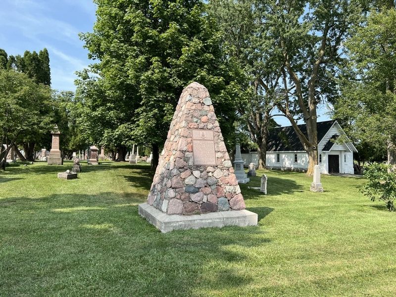
Photographed by Tim Boyd, August 14, 2026
2. Lieut-Col. James Hodgins Marker
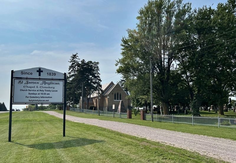
Photographed by Tim Boyd, August 14, 2026
3. Lieut-Col. James Hodgins Marker
Centre of photo, facing north on Highway 4
Credits. This page was last revised on August 19, 2026. It was originally submitted on August 19, 2026, by Tim Boyd of Hamilton, Ontario. This page has been viewed 18 times since then. Photos: 1, 2, 3. submitted on August 19, 2026, by Tim Boyd of Hamilton, Ontario. • Andrew Ruppenstein was the editor who published this page.
