Tignish, Prince Edward Island — The Atlantic Provinces (North America)
Yankee Gale
Photographed by Jay Noble, August 16, 2026
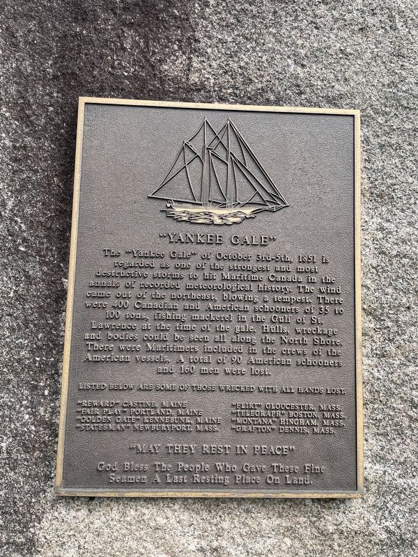
1. Yankee Gale Marker
The "Yankee Gale" of October 3rd-5th, 1851 is regarded as one of the strongest and most destructive storms to hit Maritime Canada in the annals of recorded meteorological history. The wind came out of the northeast, blowing a tempest. There were 400 Canadian and American schooners of 35 to 100 tons, fishing mackerel in the Gulf of St. Lawrence at the time of the gale. Hulls, wreckage and bodies could be seen all along the North Shore. There were Maritimers included in the crews of the American vessels. A total of 90 American schooners and 160 men were lost.
Below are some of those wrecked with all hands lost.
"Reward" Castine, Maine • "Fair Play" Portland, Maine • "Golden Gate" Kennebunk, Maine • "Statesman" Newburyport, Mass. • "Flirt" Gloucester, Mass. • "Telegraph" Boston, Mass. • "Montana" Hingham, Mass. • "Grafton" Dennis, Mass.
God bless the people who gave these fine seamen a last resting place on land.
Topics. This historical marker is listed in these topic lists: Disasters • Waterways & Vessels. A significant historical date for this entry is October 3, 1851.
Location. 46° 53.231′ N, 63° 58.589′ W.
this page online

Regionally, this marker is in the Maritimes and in Atlantic Canada. Globally, it is in the North Atlantic Region, North America, the Western Hemisphere, the Western World, and the Anglosphere. Historically, it finds itself in what was once a British colony and also the Viceroyalty of New France.
Other nearby markers. At least 2 other markers are within 8 kilometers of this marker, measured as the crow flies: Myrick Shore (approx. 6.7 kilometers away); Tignish (approx. 6.7 kilometers away).
Also see . . . The Yankee Gale of 1851 (Resort Municipality PEI). Excerpt:
“One of the worst natural disasters in the history of the Island was the Yankee Gale of 1851”(Submitted on August 18, 2026, by Jay Noble of Charlottetown, Prince Edward Island.)
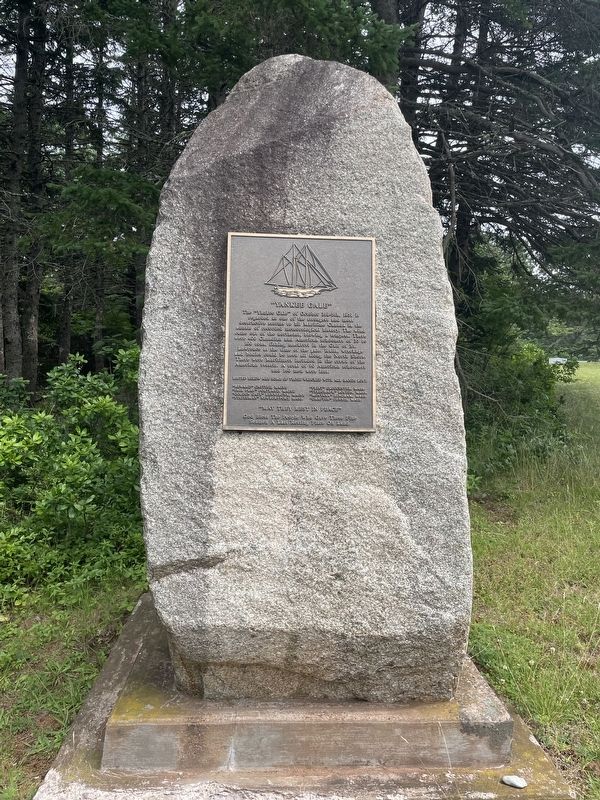
An American fleetfrom the ports of Portland, Boston and Gloucester would come each summer to fish for herring and mackerel in the Gulf of St. Lawrence along the north shore of Prince Edward Island. On Friday, October 3rd the winds became calm followed shortly by gale force winds. Some ships were able to escape to sea and weather out the storm while many others struggled in the huge waves that accompanied the storm that pounded the ships and weary crews for 2 days.Photographed by Jay Noble, August 16, 20262. Yankee Gale Marker
When the winds of the fierce storm subsided the north shore of the island was awash with wreckage and the lifeless bodies of the American sailors.
The storms toll was estimated at the time that more than 80 ships were wrecked and roughly 200 men perished in the stormy waters.
The local people rescued the survivors and gathered the dead. All along the north shore of the Island, from Tignish to East Point local cemeteries, including Cavendish (a single anchor makes the graves), became the final resting place for many of these sailors.
Photographed by Jay Noble, August 16, 2026
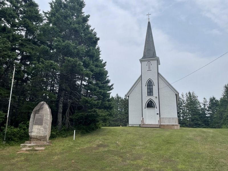
3. Yankee Gale Marker
Credits. This page was last revised on August 19, 2026. It was originally submitted on August 17, 2026, by Jay Noble of Charlottetown, Prince Edward Island. This page has been viewed 25 times since then. Last updated on August 19, 2026, by Jay Noble of Charlottetown, Prince Edward Island. Photos: 1, 2, 3. submitted on August 17, 2026, by Jay Noble of Charlottetown, Prince Edward Island. • Devry Becker Jones was the editor who published this page.
