Village of Minos in Kirkville in Onondaga County, New York — The American Northeast (Mid-Atlantic)
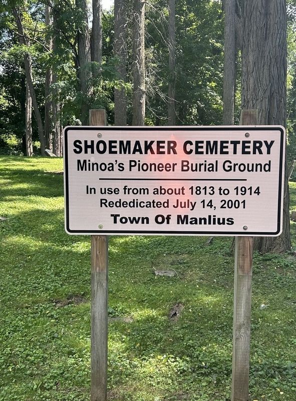
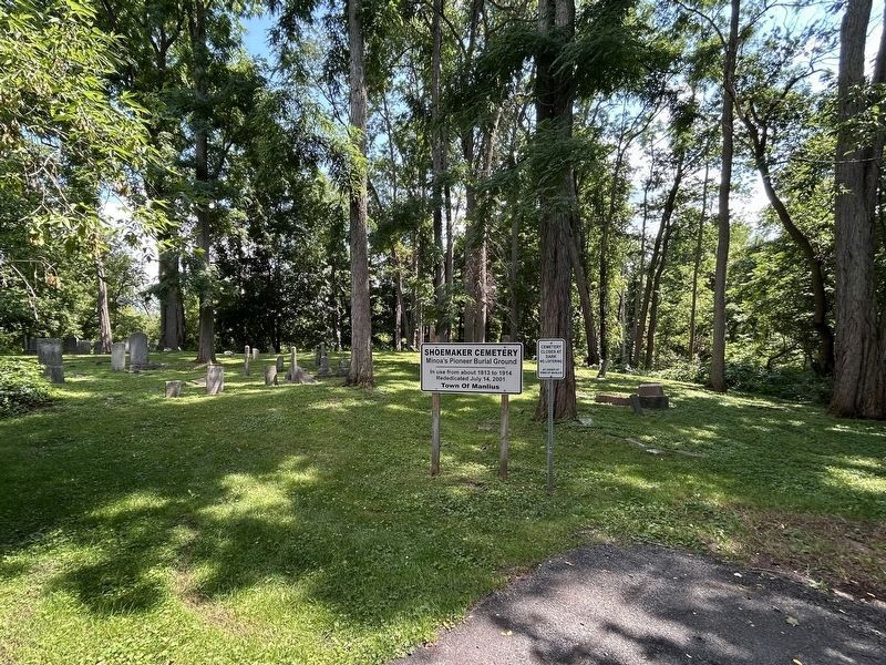
Shoemaker Cemetery
Minoa’s Pioneer Burial Ground
Photographed by Susan A. Dalaba, August 13, 2026
1. Shoemaker Cemetery Marker
Rededicated July 14, 2001
Erected 2001 by Town of Manlius.
Topics. This historical marker is listed in these topic lists: Cemeteries & Burial Sites • Settlements & Settlers. A significant historical year for this entry is 1813.
Location. 43° 4.533′ N, 76° 0.029′ W. Marker is in Kirkville, New York, in Onondaga County. It is in Village of Minos. It can be reached from North Main Street (New York State Route 298) south of Willard Street, on the left when traveling south. When heading south, turn left after Spill The Tea Cafe then take an immediate right. You’ll see the cemetery sign at the end of the road. Touch for map. Marker is at or near this postal address: 150 North Main Street, Minoa NY 13116, United States of America. Touch for directions.

Regionally, this marker is in Upstate New York, specifically in Central New York, and in the Syracuse Metropolitan Area. It is also in the American Northeast and in the Mid-Atlantic. Globally, it is in North America, on the Great Lakes, in the Western Hemisphere, in the Western World, and in the Anglosphere. Historically, it
this page online
Other nearby markers. At least 8 other markers are within 3 miles of this marker, measured as the crow flies: Minoa Veterans Memorial (about 700 feet away, measured in a direct line); a different marker also named Minoa Veterans Memorial (about 700 feet away); Minoa World War I Memorial (about 700 feet away); The Erie Route West (approx. 1½ miles away); The Erie Canal - Canvass White (approx. 1½ miles away); Old Erie Canal State Historic Park at Kirkville Road (approx. 2.6 miles away); Old Erie Canal State Historic Park (at Butternut Creek) (approx. 2.9 miles away); Fayetteville (approx. 3.1 miles away). Touch for a list and map of all markers in Kirkville.
Photographed by Susan A. Dalaba, August 13, 2026
2. Shoemaker Cemetery Marker
Photographed by Susan A. Dalaba, August 13, 2026
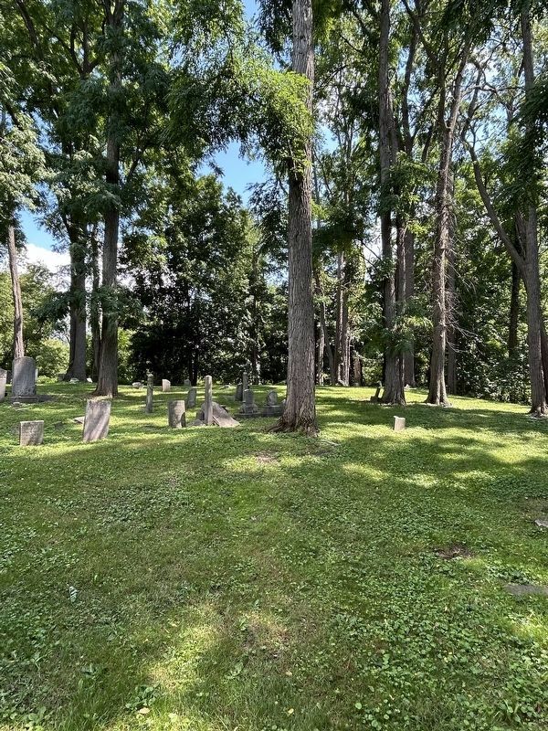
3. Shoemaker Cemetery
Photographed by Susan A. Dalaba, August 13, 2026
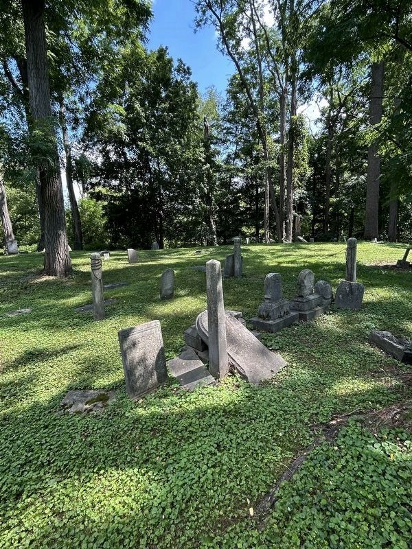
4. Shoemaker Cemetery Marker
Credits. This page was last revised on August 20, 2026. It was originally submitted on August 17, 2026, by Susan A. Dalaba of Cortland, New York. This page has been viewed 21 times since then. Last updated on August 19, 2026, by Susan A. Dalaba of Cortland, New York. Photos: 1, 2, 3, 4. submitted on August 17, 2026, by Susan A. Dalaba of Cortland, New York. • Devry Becker Jones was the editor who published this page.
