
Rootstown in Portage County, Ohio — The American Midwest (Great Lakes)
Old Cemetery
⎯⎯⎯
Rootstown Patriarch Burials
Photographed by Craig Doda, August 16, 2026
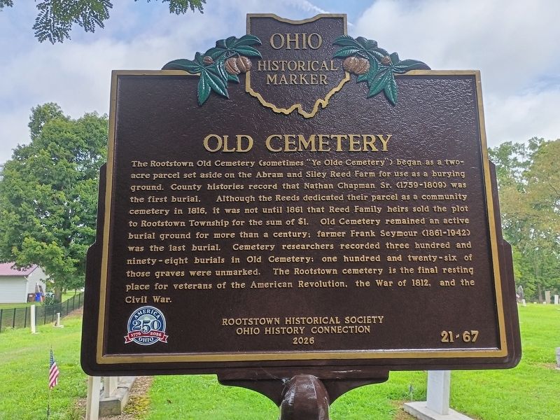
1. Old Cemetery side of marker
Old Cemetery
The Rootstown Old Cemetery (sometimes "Ye Olde Cemetery") began as a two-acre parcel set aside on the Abram and Siley Reed Farm for use as a burying ground. County histories record that Nathan Chapman Sr. (1759-1809) was the first burial. Although the Reeds dedicated their parcel as a community cemetery in 1816, it was not until 1861 that Reed Family heirs sold the plot to Rootstown Township for the sum of $1. Old Cemetery remained an active burial ground for more than a century; farmer Frank Seymour (1861-1942) was the last burial. Cemetery researchers recorded three hundred and ninety-eight burials in Old Cemetery; one hundred and twenty-six of those graves were unmarked. The Rootstown cemetery is the final resting place for veterans of the American Revolution, the War of 1812, and the Civil War.
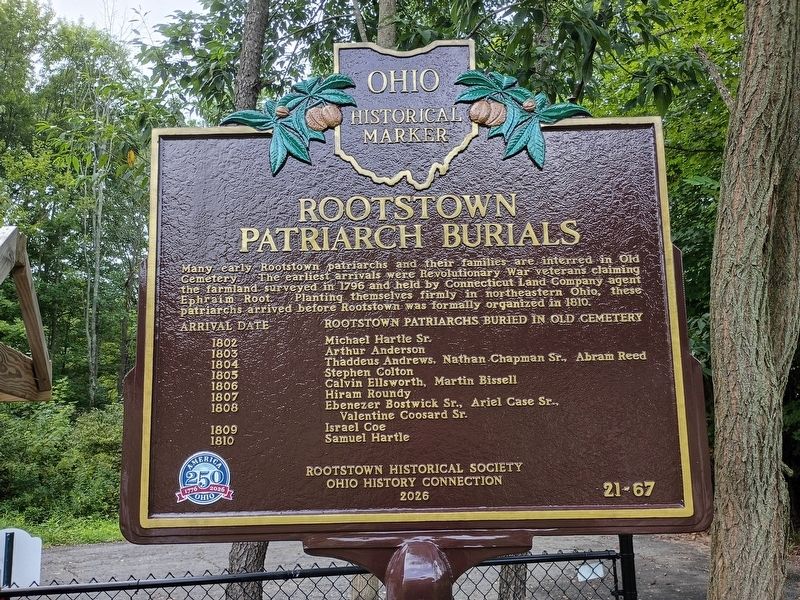
Rootstown Patriarch Burials
Many early Rootstown patriarchs and their families are interred in Old Cemetery. The earliest arrivals were Revolutionary War veterans claiming the farmland surveyed in 1796 and held by Connecticut Land Company agent Ephraim Root. Planting themselves firmly in northeastern Ohio, these
this page online
Arrival Date, Rootstown Patriarchs Buried in Old Cemetery
1802 Michael Hartle Sr. • 1803 Arthur Anderson • 1804 Thaddeus Andrews, Nathan Chapman Sr., Abram Reed • 1805 Stephen Colton • 1806 Calvin Ellsworth, Martin Bissell • 1807 Hiram Roundy • 1808 Ebenezer Bostwick Sr., Ariel Case Sr., Valentine Goosard Sr. • 1809 Israel Goe • 1810 Samuel Hartle
Erected 2026 by Rootstown Historical Society; Ohio History Connection; America 250: Ohio Commission. (Marker Number 21-67.)
Topics and series. This historical marker is listed in these topic lists: Cemeteries & Burial Sites • Settlements & Settlers. In addition, it is included in the America 250: Ohio Commission, and the Ohio Historical Society / The Ohio History Connection series lists. A significant historical year for this entry is 1816.
Location. 41° 5.853′ N, 81° 14.311′ W. Marker is in Rootstown, Ohio, in Portage County. It is at the intersection of West Drive and Cook Road, on the right when traveling north on West Drive. Touch for map. Marker is at or near this postal address: 3948 West Dr, Ravenna OH
Photographed by Craig Doda, August 16, 2026
2. Rootstown Patriarch Burials side of marker

Regionally, this marker is in Greater Cleveland and in the Western Reserve. It is also in the American Midwest. Globally, it is in North America, the Western Hemisphere, the Western World, and the Anglosphere. Historically, it finds itself in what was once the Haudenosaunee (Iroquois) Confederacy, the territory of the Mississippian Culture, and the Northwest Territory.
Other nearby markers. At least 8 other markers are within 7 miles of this marker, measured as the crow flies: The New Milford Post Office (approx. 0.2 miles away); Ephraim Root (approx. 0.2 miles away); Ephraim Root / Rootstown (approx. 0.2 miles away); Portage County Veterans Memorial (approx. 4.1 miles away); 1893 Ravenna Flagpole (approx. 4.2 miles away); Etna House (approx. 4.2 miles away); Abraham Lincoln, Ravenna, Ohio (approx. 4.2 miles away); Alan Canfora 176 ft (approx. 6.6 miles away). Touch for a list and map of all markers in Rootstown.
Another marker is no longer nearby. Benjamin Tappan, Jr. (was approx. 3½ miles away but has been confirmed missing).
Photographed by Craig Doda, August 16, 2026
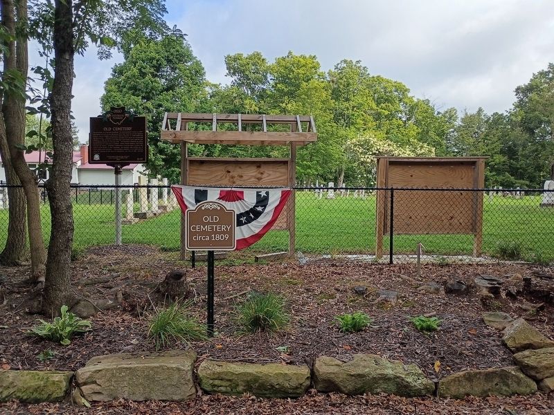
3. Old Cemetery / Rootstown Patriarch Burials Marker
Credits. This page was last revised on August 26, 2026. It was originally submitted on August 21, 2026, by Craig Doda of Napoleon, Ohio. This page has been viewed 9 times since then. Photos: 1, 2, 3. submitted on August 21, 2026, by Craig Doda of Napoleon, Ohio. • Devry Becker Jones was the editor who published this page.
