Schoharie in Schoharie County, New York — The American Northeast (Mid-Atlantic)
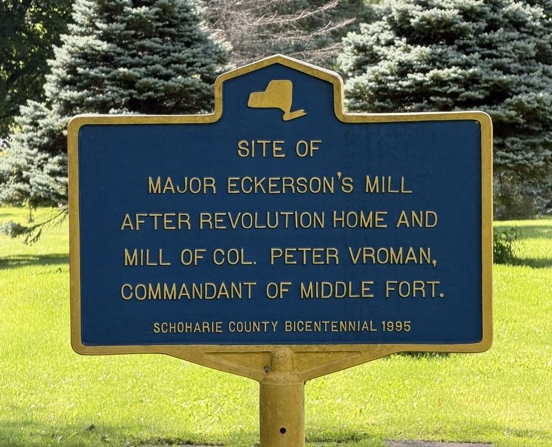
Site of Major Eckerson's Mill
Photographed by Trudi Jacobson, August 21, 2026
1. Site of Major Eckerson's Mill Marker
Erected 1995 by Schoharie County Bicentennial.
Topics. This historical marker is listed in these topic lists: Colonial Era • Industry & Commerce • War, US Revolutionary.
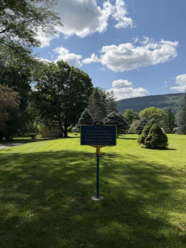
Location. 42° 40.821′ N, 74° 18.066′ W. Marker is in Schoharie, New York, in Schoharie County. It can be reached from 112 Covered Bridge Lane 0 miles south of NY-443, on the right when traveling south. The marker is on the right side as you pull into the parking lot for the reproduction covered bridge. Touch for map. Marker is in this post office area: Schoharie NY 12157, United States of America. Touch for directions.

Regionally, this marker is in Upstate New York and in the Mohawk Valley. It is also in the American Northeast, in the Mid-Atlantic, in Appalachia, and specifically in Northern Appalachia. Globally, it is in North America, the Western Hemisphere, the Western World, and the Anglosphere. Historically, it finds itself in what was once the Haudenosaunee
this page online
Other nearby markers. At least 8 other markers are within walking distance of this marker: The Colonel Peter Vroman House (within shouting distance of this marker); Bridge No. 1 (about 300 feet away, measured in a direct line); Stone Church Parsonage (about 500 feet away); George Mann Tory Tavern (about 500 feet away); Col. Peter Vroman (approx. 0.2 miles away); Civil War Nurse (approx. 0.2 miles away); David Williams Memorial (approx. 0.2 miles away); David Williams (approx. 0.2 miles away). Touch for a list and map of all markers in Schoharie.
Photographed by Trudi Jacobson, August 21, 2026
2. Site of Major Eckerson's Mill Marker

Photographed by Trudi Jacobson, August 21, 2026
3. Site of Major Eckerson's Mill Marker
Credits. This page was last revised on August 27, 2026. It was originally submitted on August 21, 2026, by Trudi Jacobson of Slingerlands, New York. This page has been viewed 16 times since then. Photos: 1, 2, 3. submitted on August 21, 2026, by Trudi Jacobson of Slingerlands, New York. • Andrew Ruppenstein was the editor who published this page.
