Ojito in Rio Arriba County, New Mexico — The American Mountains (Southwest)
Jicarilla Apache Centennial Highway
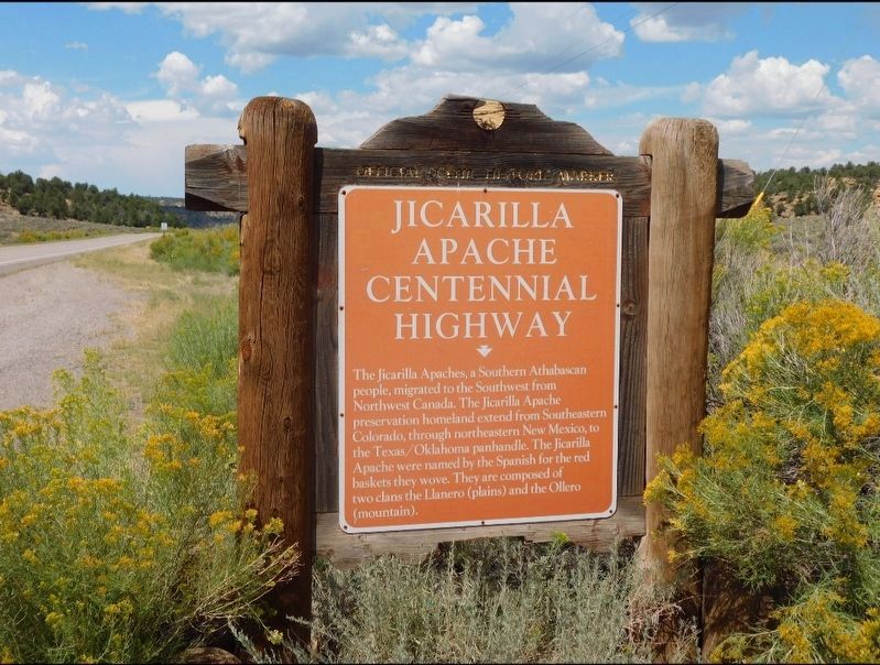
Photographed by Jimmy Emerson, September 3, 2025
1. Jicarilla Apache Centennial Highway Marker
Topics. This historical marker is listed in this topic list: Indigenous Peoples and Communities.
Location. 36° 28.529′ N, 107° 11.05′ W. Marker is in Ojito, New Mexico, in Rio Arriba County. It is on State Highway 537, on the left when traveling south. Touch for map. Marker is at or near this postal address: NM-537, Lindrith NM 87029, United States of America. Touch for directions.

Regionally, this marker is in Northern New Mexico. It is also in the American Southwest, in the Mountain West, and at the Four Corners. Globally, it is in North America, the Rocky Mountains, the Western Hemisphere, the Western World, and the Anglosphere. Historically, it finds
this page online
Credits. This page was last revised on August 27, 2026. It was originally submitted on August 23, 2026, by Jimmy Emerson of Dalton, Georgia. This page has been viewed 11 times since then. Photo 1. submitted on August 23, 2026, by Jimmy Emerson of Dalton, Georgia. • Andrew Ruppenstein was the editor who published this page.
