
Locust Point Industrial Area in Baltimore, Maryland — The American Northeast (Mid-Atlantic)
War in the Chesapeake
Star-Spangled Banner National Historical Trail
| — | National Park Service, U.S. Department of the Interior | — |
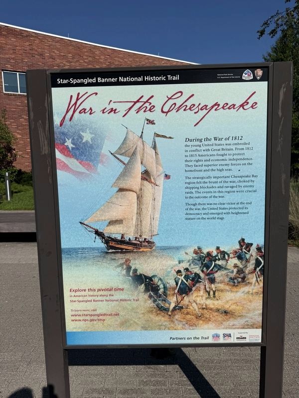
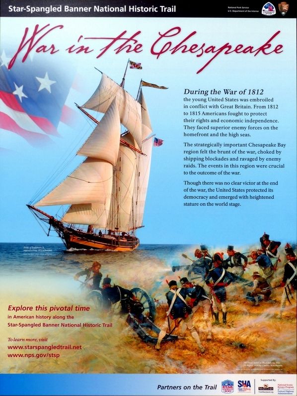
During the War of 1812 the young United States was embroiled in conflict with Great Britain. From 1812 to 1815 Americans fought to protect their rights and economic independence. They faced superior enemy forces on the homefront and the high seas.
The strategically important Chesapeake Bay region felt the brunt of the war, choked by shipping blockades and ravaged by enemy raids. The events in this region were crucial to the outcome of the war.
Though there was no clear victor at the end of the war, the United States protected its democracy and emerged with heightened stature on the world stage.
Explore this pivotal time in American history along the Star-Spangled Banner National Historic Trail.
Erected by National Park Service, U.S. Department of the Interior.
Topics and series. This historical marker is listed in these topic lists: War of 1812 • Waterways & Vessels. In addition, it is included in the Star-Spangled Banner National Historic Trail series list. A significant historical year for this entry is 1812.
Location. 39° 15.923′ N, 76° 34.758′ W. Marker is in Baltimore, Maryland. It is in the Locust
this page online

Regionally, this marker is in Central Maryland. It is also in the American Mid-Atlantic, in the Chesapeake Bay Region, and on the Eastern Seaboard. Globally, it is in the North Atlantic Region, North America, the Western Hemisphere, the Western World, and the Anglosphere. Historically, it finds itself in what was once one of the original Thirteen Colonies and also the Antebellum South.
Other nearby markers. At least 8 other markers are within walking distance of this marker: A Pivotal Battle (here, next to this marker); "O! say can you see..." (here, next to this marker); Fort McHenry National Monument & Historic Shrine (within shouting distance of this marker); Welcome! You Are Now "On Post" (within shouting distance of this marker); Heritage of Courage…The Society of the War of 1812 (about 300 feet away, measured in a direct line); Armistead (about 400 feet
Photographed by Allen C. Browne, October 13, 2012
2. War in the Chesapeake Marker

Credits. This page was last revised on August 23, 2026. It was originally submitted on August 23, 2026, by Allen C. Browne of Silver Spring, Maryland. This page has been viewed 12 times since then. Photos: 1. submitted on August 23, 2026, by Devry Becker Jones of Washington, District of Columbia. 2. submitted on August 9, 2016, by Allen C. Browne of Silver Spring, Maryland. 3. submitted on August 23, 2026, by Devry Becker Jones of Washington, District of Columbia. • Devry Becker Jones was the editor who published this page.
