Springfield in Clark County, Ohio — The American Midwest (Great Lakes)
Underground Railroad Discovery Walk (circa 1810-1865)

Photographed by Craig Doda, August 8, 2026
1. Underground Railroad Discovery Walk (circa 1810-1865) Marker
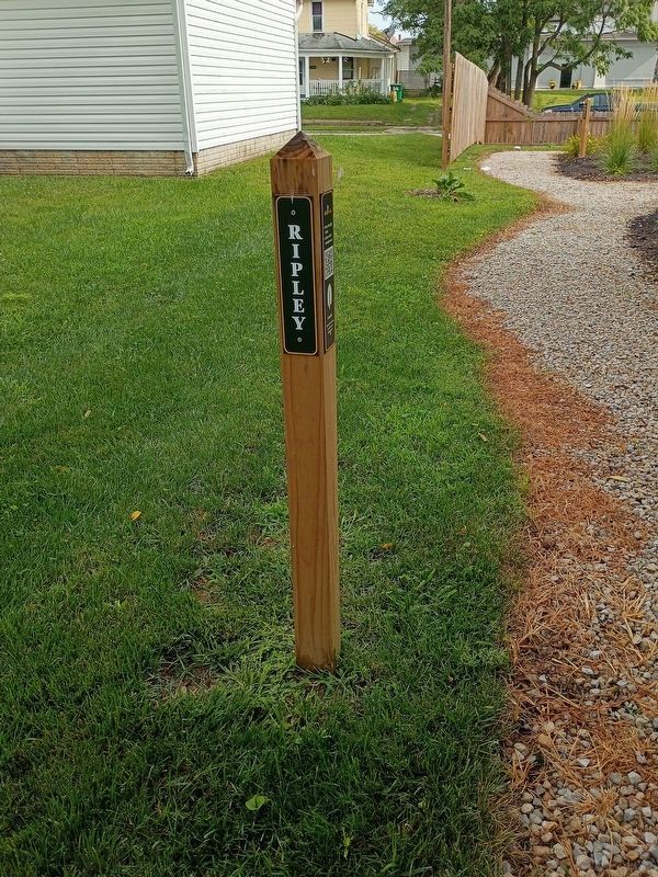
Ripley Stop # 1 Candle: Used in windows to indicate a Safe House.
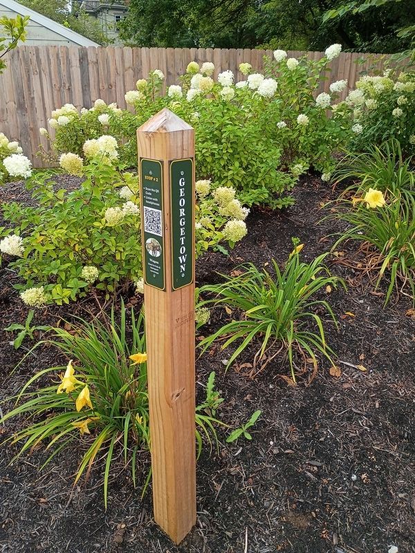
Georgetown Stop # 2 Wagon: Used to hide & transport runaways.
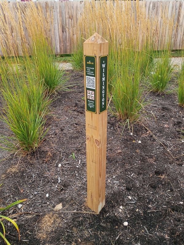
Wilmington Stop #3 Bear Paw: Symbol led people to fresh food & water.
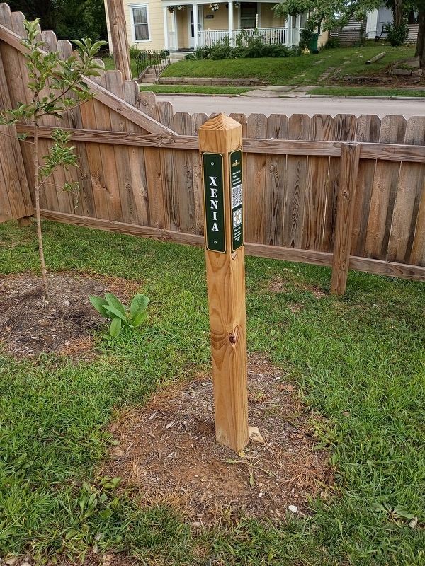
Xenia Stop #4 Shoo-Fly: Symbolized Harriet Tubman's nickname.
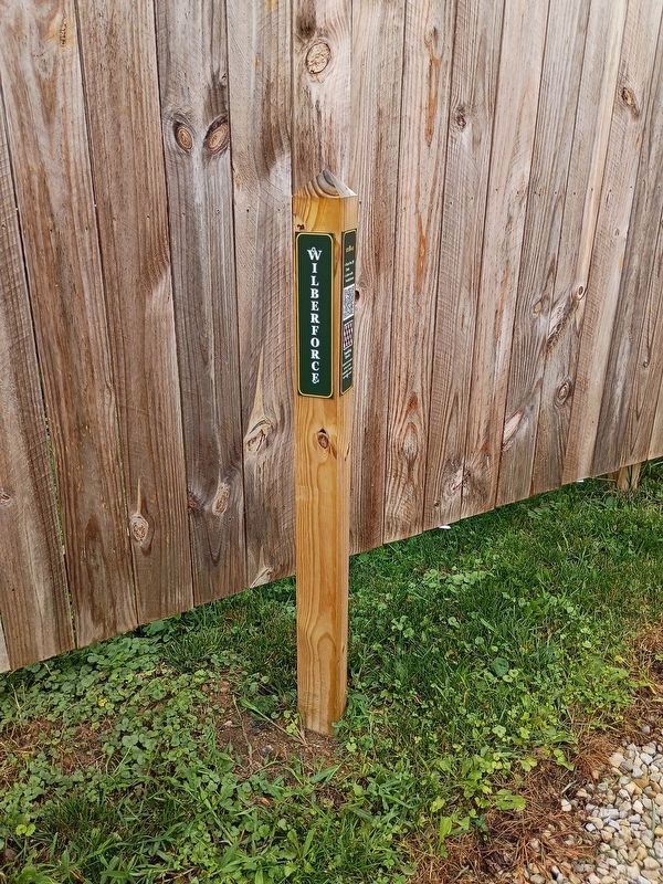
Wilberforce Stop #5 Tumbling Blocks: Symbol told people to box up their belongings. Escape will happen soon!
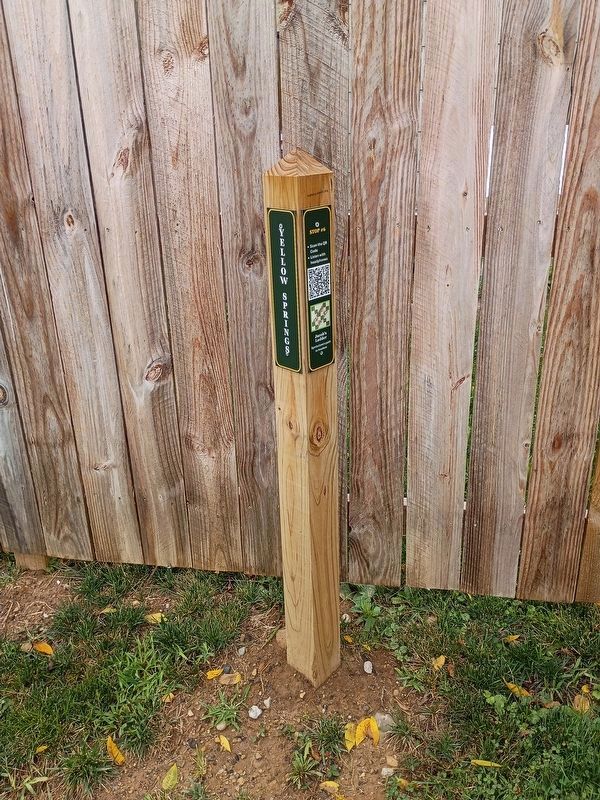
Yellow Springs Stop #6 Jacob's Ladder: Symbolized a path to freedom.
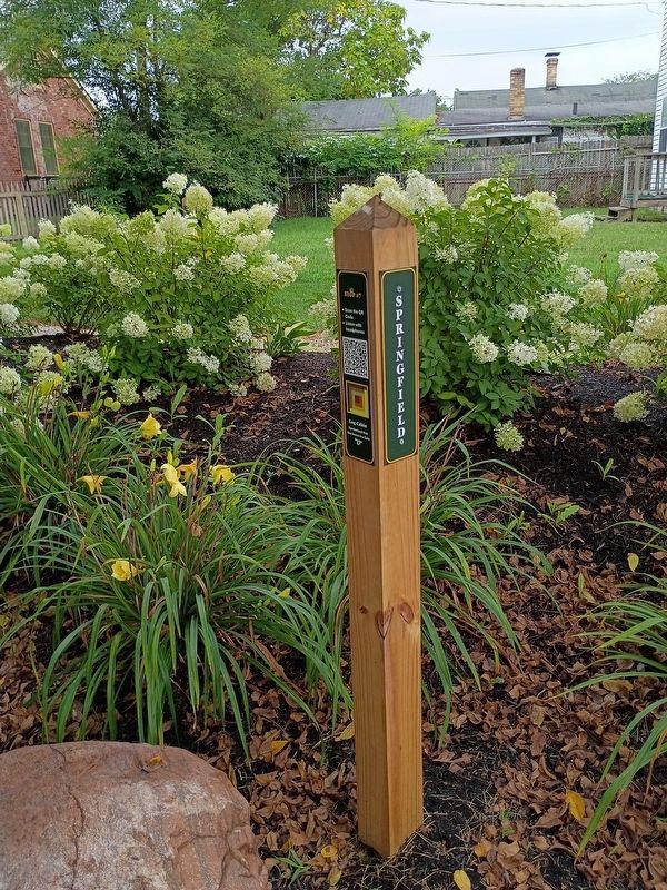
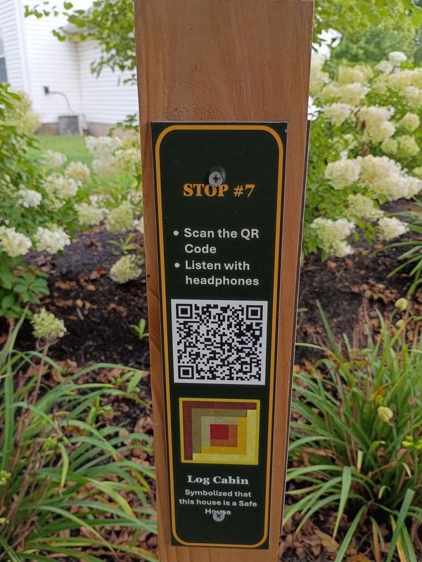
Springfield Stop #7 Log Cabin: Symbolized that this house is a Safe House.
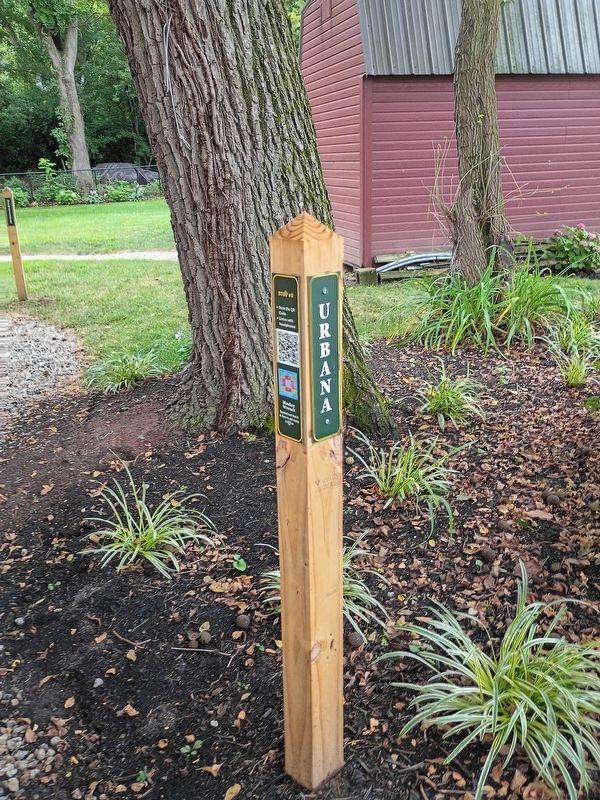
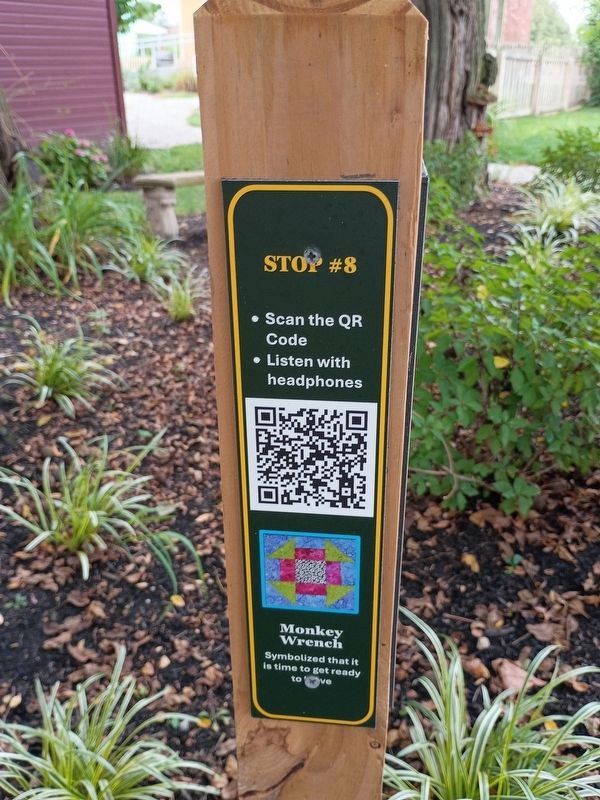
Urbana Stop #8 Monkey Wrench: Symbolized that it is time to get ready to move.
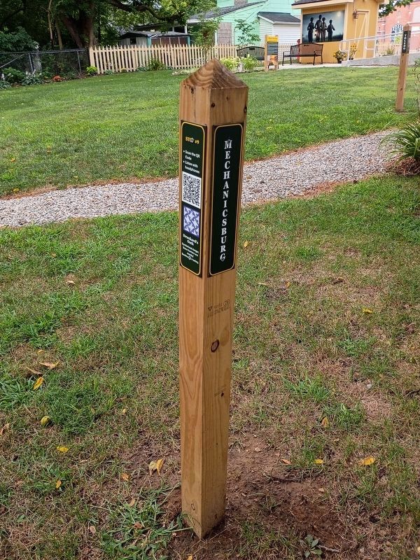
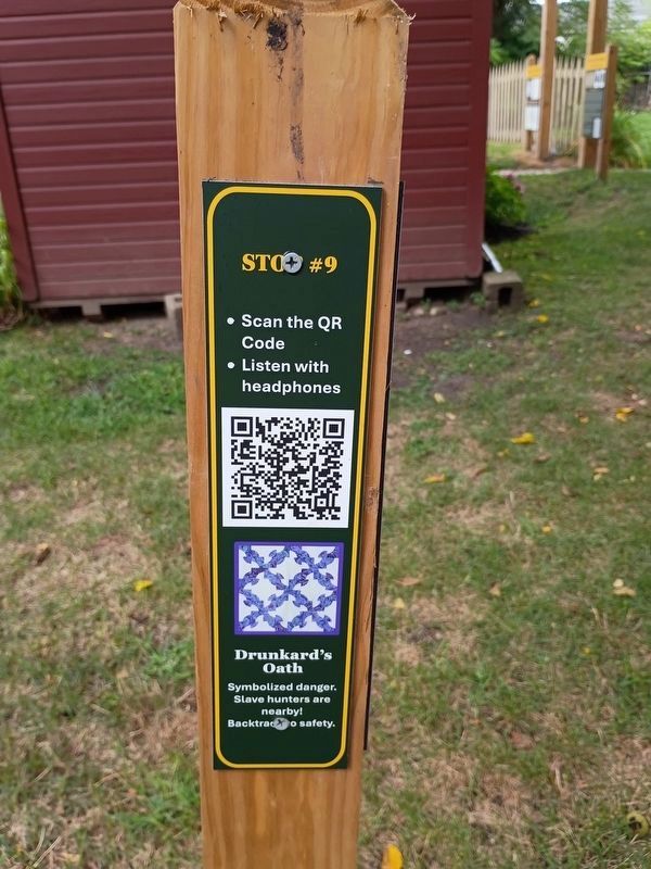
Mechanicsburg Stop #9 Drunkard's Oath: Symbolized danger. Slave hunters are nearby! Backtrack to safety.
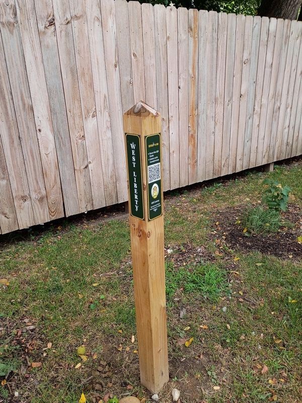
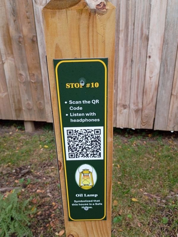
West Liberty Stop #10 Oil Lamp: Symbolized that this house is a Safe House.
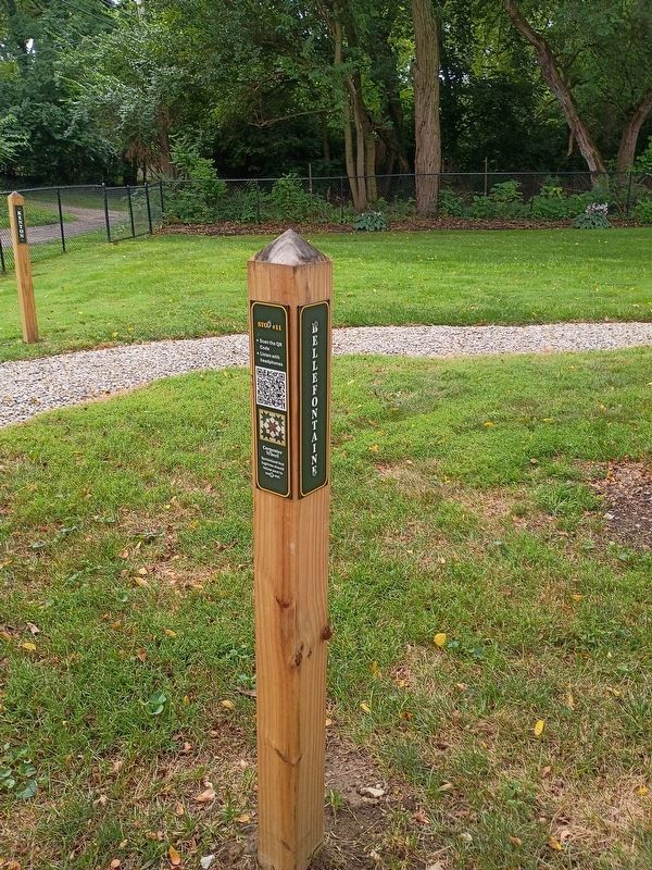
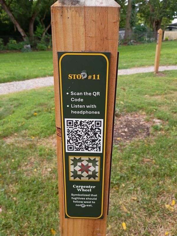
Bellfontaine Stop #11 Carpenter Wheel: Symbolized that fugitives should follow west to northwest.
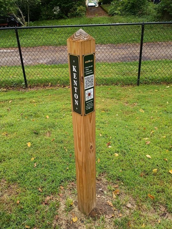
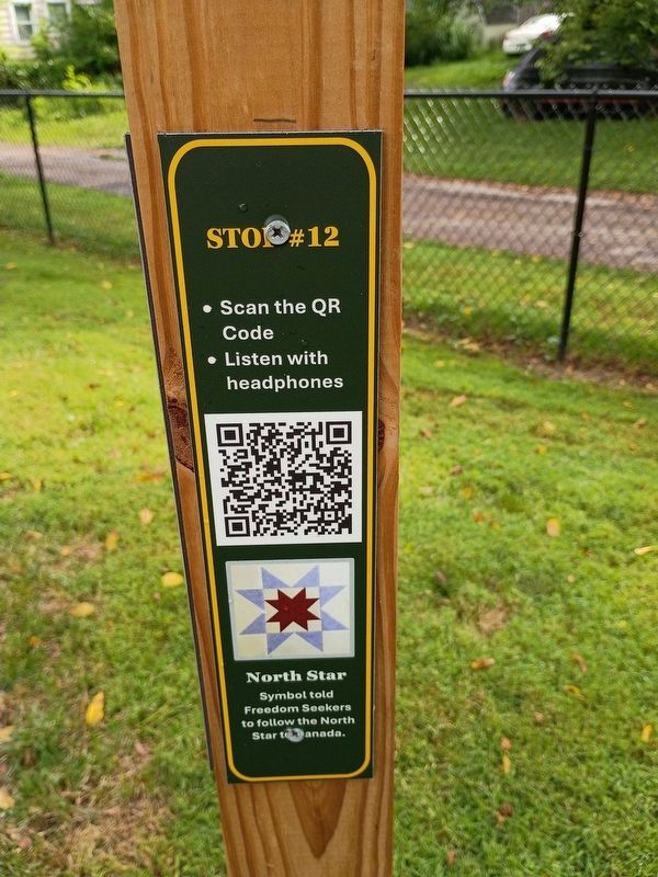
Kenton Stop #12 North Star: Symbol told Freedom Seekers to follow the North Star to Canada.
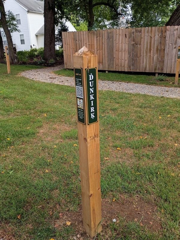
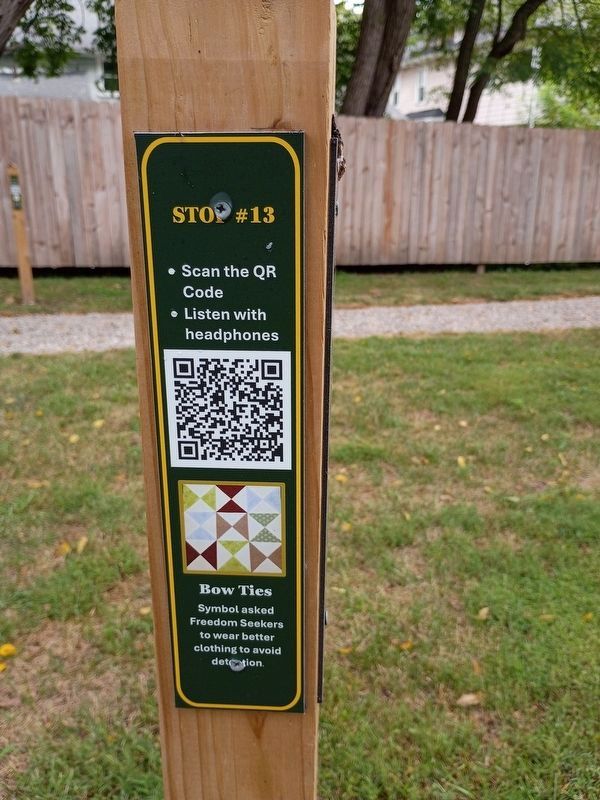
Dunkirk Stop #13 Bow Ties: Symbol asked Freedom Seekers to wear better clothing to avoid detection.
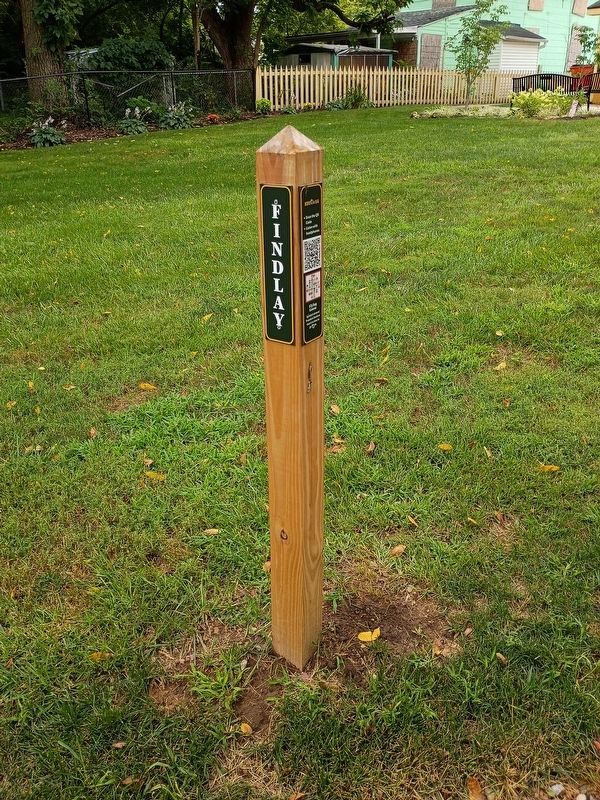
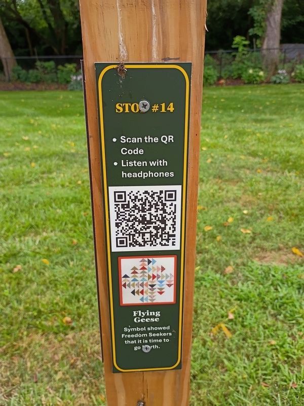
Findlay Stop #14 Flying Geese: Symbol showed Freedom Seekers
this page online
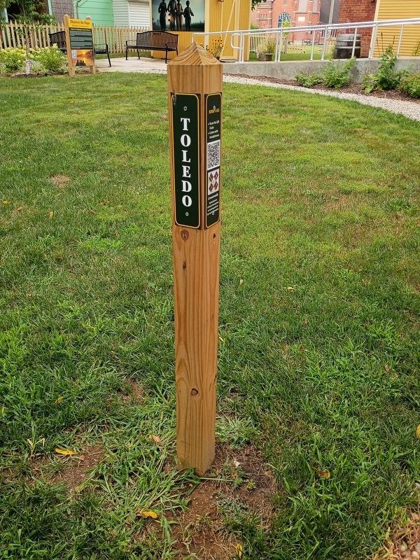
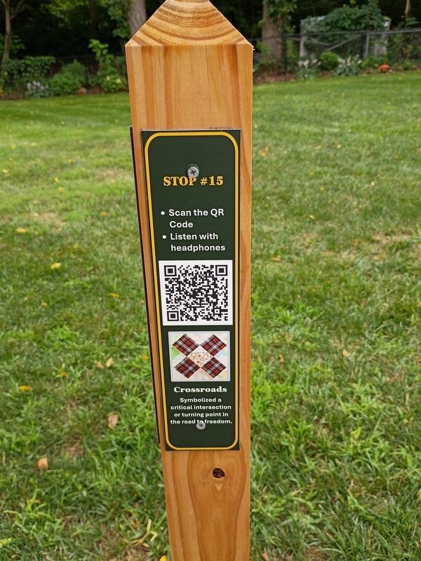
Toledo Stop #15 Crossroads: Symbolized a critical intersection or turning point in the road to freedom.
Topics. This historical marker is listed in these topic lists: Abolition & Underground RR • Communications.
Location. 39° 55.036′ N, 83° 48.72′ W. Marker is in Springfield, Ohio, in Clark County. It is at the intersection of Park Place and East Clark Street, on the right when traveling north on Park Place. Touch for map. Marker is at or near this postal address: 29 W Clark St, Springfield OH 45506, United States of America. Touch for directions.

Regionally, this marker is in the Dayton Metro and in the Miami Valley. It is also in the American Midwest and in the Corn Belt. Globally, it is in North America, the Western Hemisphere, the Western World, and the Anglosphere. Historically, it finds itself in what was once the Haudenosaunee (Iroquois) Confederacy, the territory of the Mississippian Culture, and the Northwest Territory.
Other nearby markers. At least 8 other markers are within walking distance of this marker: Discover the Journey

Photographed by Craig Doda, August 8, 2026
2. Underground Railroad Discovery Walk (circa 1810-1865) Marker
Another marker is no longer nearby. Gammon House (was within shouting distance of this marker but has been permanently removed).

Photographed by Craig Doda, August 8, 2026
3. Underground Railroad Discovery Walk (circa 1810-1865) Marker

Photographed by Craig Doda, August 8, 2026
4. Underground Railroad Discovery Walk (circa 1810-1865) Marker

Photographed by Craig Doda, August 8, 2026
5. Underground Railroad Discovery Walk (circa 1810-1865) Marker

Photographed by Craig Doda, August 8, 2026
6. Underground Railroad Discovery Walk (circa 1810-1865) Marker
Photographed by Craig Doda, August 8, 2026
7. Stop 1
Photographed by Craig Doda, August 8, 2026
8. Stop 2
Photographed by Craig Doda, August 8, 2026
9. Stop 3
Photographed by Craig Doda, August 8, 2026
10. Stop 4
Photographed by Craig Doda, August 8, 2026
11. Stop 5
Photographed by Craig Doda, August 8, 2026
12. Stop 6
Photographed by Craig Doda, August 8, 2026
13. Stop 7
Photographed by Craig Doda, August 8, 2026
14. Stop 7
Photographed by Craig Doda, August 8, 2026
15. Stop 8
Photographed by Craig Doda, August 8, 2026
16. Stop 8
Photographed by Craig Doda, August 8, 2026
17. Stop 9
Photographed by Craig Doda, August 8, 2026
18. Stop 9
Photographed by Craig Doda, August 8, 2026
19. Stop 10
Photographed by Craig Doda, August 8, 2026
20. Stop 10
Photographed by Craig Doda, August 8, 2026
21. Stop 11
Photographed by Craig Doda, August 8, 2026
22. Stop 11
Photographed by Craig Doda, August 8, 2026
23. Stop 12
Photographed by Craig Doda, August 8, 2026
24. Stop 12
Photographed by Craig Doda, August 8, 2026
25. Stop 13
Photographed by Craig Doda, August 8, 2026
26. Stop 13
Photographed by Craig Doda, August 8, 2026
27. Stop 14
Photographed by Craig Doda, August 8, 2026
28. Stop 14
Photographed by Craig Doda, August 8, 2026
29. Stop 15
Photographed by Craig Doda, August 8, 2026
30. Stop 15
Credits. This page was last revised on October 15, 2026. It was originally submitted on August 23, 2026, by Craig Doda of Napoleon, Ohio. This page has been viewed 48 times since then. Photos: 1, 2, 3, 4, 5, 6. submitted on August 23, 2026, by Craig Doda of Napoleon, Ohio. 7, 8, 9. submitted on August 27, 2026, by Craig Doda of Napoleon, Ohio. 10, 11, 12. submitted on August 28, 2026, by Craig Doda of Napoleon, Ohio. 13, 14, 15. submitted on September 5, 2026, by Craig Doda of Napoleon, Ohio. 16, 17, 18. submitted on September 15, 2026, by Craig Doda of Napoleon, Ohio. 19, 20, 21. submitted on September 18, 2026, by Craig Doda of Napoleon, Ohio. 22, 23, 24. submitted on September 21, 2026, by Craig Doda of Napoleon, Ohio. 25, 26, 27. submitted on September 23, 2026, by Craig Doda of Napoleon, Ohio. 28, 29, 30. submitted on October 7, 2026, by Craig Doda of Napoleon, Ohio. • Devry Becker Jones was the editor who published this page.
