Bulltown in Braxton County, West Virginia — The American South (Appalachia)
Well
Photographed by Craig Doda, August 2, 2026
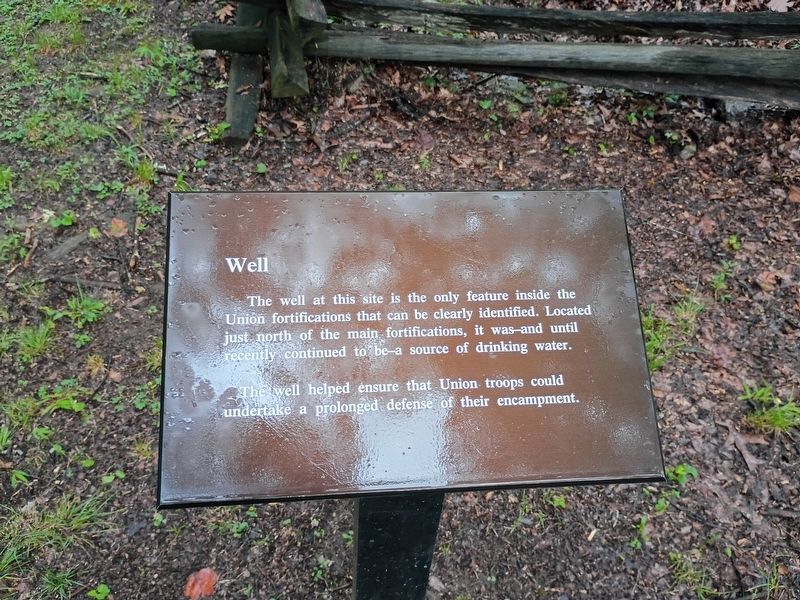
1. Well Marker
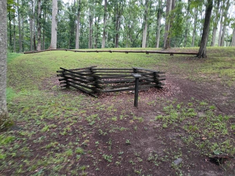
The well at this site is the only feature inside the Union fortifications that can be clearly identified. Located just north of the main fortifications, it was—and until recently continued to be—a source of drinking water.
The well helped ensure that Union troops could undertake a prolonged defense of their encampment.
Topics. This historical marker is listed in these topic lists: Forts and Castles • War, US Civil.
Location. 38° 47.438′ N, 80° 33.924′ W. Marker is in Bulltown, West Virginia, in Braxton County. It is at the intersection of Bulltown Campground Road and Millstone Run Road on Bulltown Campground Road. Touch for map. Marker is at or near this postal address: 2061 Gauley Turnpike, Napier WV 26631, United States of America. Touch for directions.

Regionally, this marker is in North Central West Virginia. It is also in the American South, specifically in the Upper South, in Appalachia, and specifically in Southern Appalachia. Globally, it is in North America, the Western Hemisphere, the Western World, and the Anglosphere. Historically, it finds
this page online
Other nearby markers. At least 8 other markers are within walking distance of this marker: Entrance to Fortifications (a few steps from this marker); Neglected and Forgotten (a few steps from this marker); Main Trench (a few steps from this marker); The Battle of Bulltown (a few steps from this marker); Trenches for Union Pickets (approx. 0.2 miles away); Veterans Memorial (approx. 0.2 miles away); Route to Fortifications–Lower Trenches (approx. 0.2 miles away); Weston and Gauley Bridge Turnpike (approx. 0.2 miles away). Touch for a list and map of all markers in Bulltown.
Photographed by Craig Doda, August 2, 2026
2. Well Marker
Credits. This page was last revised on August 25, 2026. It was originally submitted on August 24, 2026, by Craig Doda of Napoleon, Ohio. This page has been viewed 14 times since then. Photos: 1, 2. submitted on August 24, 2026, by Craig Doda of Napoleon, Ohio. • Devry Becker Jones was the editor who published this page.
