Bulltown in Braxton County, West Virginia — The American South (Appalachia)
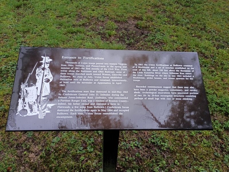
Entrance to Fortifications
Photographed by Craig Doda, August 2, 2026
1. Entrance to Fortifications Marker
Thousands of Union troops poured into western Virginia from Ohio, Indiana, and Pennsylvania in the spring and summer of 1861—the first months of the Civil War. From towns along the Baltimore and Ohio Railroad, some of these troops marched south toward Weston, Glenville—and Bulltown. By June or July, Union forces established themselves here at Bulltown and remained, intermittently, at least until the surrender at Appomattox in April 1865.
The fortifications were first destroyed in mid-May 1863 by Confederate General John D. Imboden during the famous Jones-Imboden Raid. (Imboden, who commanded a Partisan Ranger Unit, was a resident of Braxton County—indeed, his father owned and operated a farm in Flatwoods, a few miles from Bulltown.) Confederate forces destroyed the fortifications again in May 1864 and occupied Bulltown. Each time, Union forces reestablished the encampment.
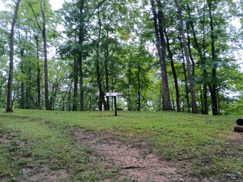
In 1861 the Union fortifications at Bulltown consisted of a blockhouse and a set of trenches established on the crest of this hill, about 250 feet above the floodplain of the Little Kanawha River where Millstone Run enters the river. Buildings
this page online
Recorded reminiscences suggest that there may also have been a powder magazine, commissary, and cavalry sheds. Archeological excavations have uncovered portions of two 10- by 20-foot rectangular structures consisting perhaps of small logs with clay or stone chinking.
Topics. This historical marker is listed in these topic lists: Forts and Castles • War, US Civil. A significant historical month for this entry is April 1865.
Location. 38° 47.431′ N, 80° 33.912′ W. Marker is in Bulltown, West Virginia, in Braxton County. It is at the intersection of Bulltown Campground Road and Millstone Run Road, on the right when traveling west on Bulltown Campground Road. Touch for map. Marker is at or near this postal address: 2061 Gauley Turnpike, Napier WV 26631, United States of America. Touch for directions.

Regionally, this marker is in North Central West Virginia. It is also in the American South, specifically in the Upper South, in Appalachia, and specifically in Southern Appalachia. Globally, it is in North America, the Western Hemisphere,
Photographed by Craig Doda, August 2, 2026
2. Entrance to Fortifications Marker
Other nearby markers. At least 8 other markers are within walking distance of this marker: Main Trench (here, next to this marker); The Battle of Bulltown (here, next to this marker); Neglected and Forgotten (here, next to this marker); Well (a few steps from this marker); Trenches for Union Pickets (approx. 0.2 miles away); Veterans Memorial (approx. 0.2 miles away); Route to Fortifications–Lower Trenches (approx. 0.2 miles away); Weston and Gauley Bridge Turnpike (approx. 0.2 miles away). Touch for a list and map of all markers in Bulltown.
Credits. This page was last revised on August 25, 2026. It was originally submitted on August 24, 2026, by Craig Doda of Napoleon, Ohio. This page has been viewed 16 times since then. Photos: 1, 2. submitted on August 24, 2026, by Craig Doda of Napoleon, Ohio. • Devry Becker Jones was the editor who published this page.
