Bulltown in Braxton County, West Virginia — The American South (Appalachia)
The Battle of Bulltown

Photographed by Craig Doda, August 2, 2026
1. The Battle of Bulltown Marker
The control of Bulltown meant the control of part of the Weston and Gauley Bridge Turnpike, including the nearby covered bridge that carried the turnpike across the Little Kanawha River. In a mountainous region where communication and transportation were such an enormous problem, control of this major north-south road was crucial to the control of central western Virginia and other parts of the state.
Bulltown was therefore of far greater strategic significance than the 12-hour Battle of Bulltown might suggest. Had Confederate Colonel William L. Jackson succeeded in capturing Bulltown and cutting Union lines of communication and transport between the Baltimore and Ohio Railroad and the Great Kanawha Valley, it is likely that the history of the Civil War in western Virginia would be quite different.
Topics. This historical marker is listed in these topic lists: Forts and Castles • War, US Civil.
Location. 38° 47.432′ N, 80° 33.911′ W. Marker is in Bulltown, West Virginia, in Braxton County. It is at the intersection of Bulltown Campground Road and Millstone Run
this page online

Regionally, this marker is in North Central West Virginia. It is also in the American South, specifically in the Upper South, in Appalachia, and specifically in Southern Appalachia. Globally, it is in North America, the Western Hemisphere, the Western World, and the Anglosphere. Historically, it finds itself in what was once the territory of the Mississippian Culture.
Other nearby markers. At least 8 other markers are within walking distance of this marker: Main Trench (here, next to this marker); Neglected and Forgotten (here, next to this marker); Entrance to Fortifications (here, next to this marker); Well (a few steps from this marker); Trenches for Union Pickets (approx. 0.2 miles away); Veterans Memorial (approx. 0.2 miles away); Route to Fortifications–Lower Trenches (approx. 0.2 miles away); Weston and Gauley Bridge Turnpike (approx. 0.2 miles away). Touch for a list and map of all markers in Bulltown.
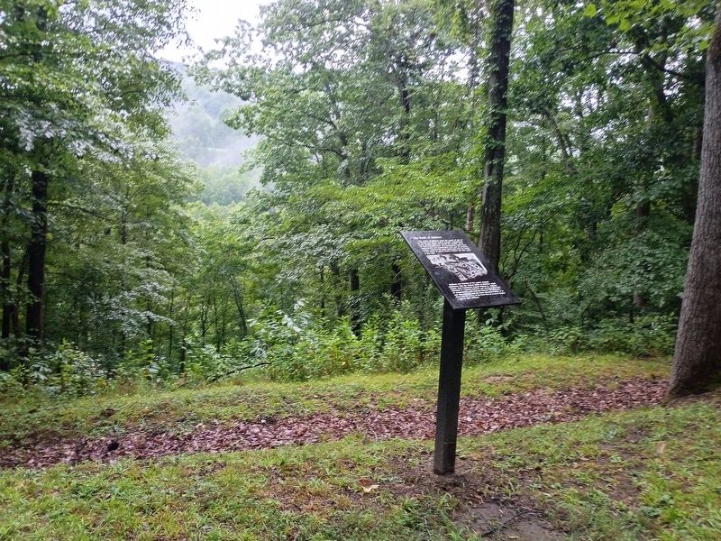
Photographed by Craig Doda, August 2, 2026
2. The Battle of Bulltown Marker
Credits. This page was last revised on August 25, 2026. It was originally submitted on August 24, 2026, by Craig Doda of Napoleon, Ohio. This page has been viewed 18 times since then. Photos: 1, 2. submitted on August 24, 2026, by Craig Doda of Napoleon, Ohio. • Devry Becker Jones was the editor who published this page.
