Bulltown in Braxton County, West Virginia — The American South (Appalachia)
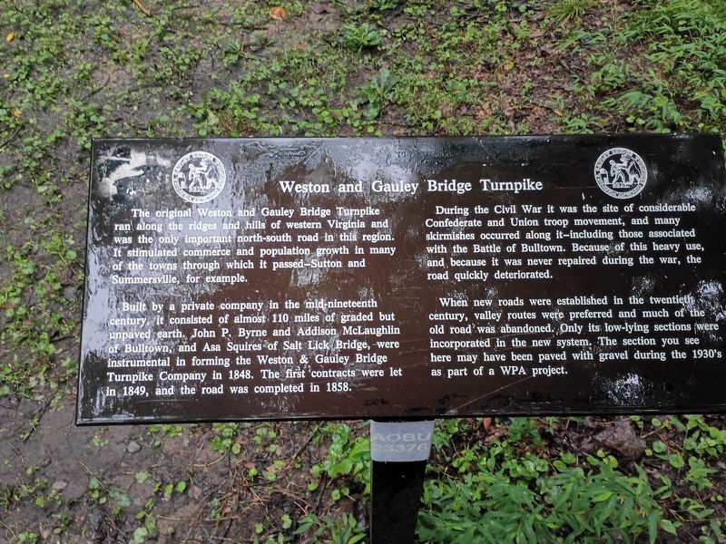
Weston and Gauley Bridge Turnpike
Photographed by Craig Doda, August 2, 2026
1. Weston and Gauley Bridge Turnpike Marker
Built by a private company in the mid-nineteenth century, it consisted of almost 110 miles of graded but unpaved earth. John P. Byrne and Addison McLaughlin of Bulltown, and Asa Squires of Salt Lick Bridge, were instrumental in forming the Weston & Gauley Bridge Turnpike Company in 1848. The first contracts were let in 1849, and the road was completed in 1858.
During the Civil War it was the site of considerable Confederate and Union troop movement, and many skirmishes occurred along it-including those associated with the Battle of Bulltown. Because of this heavy use, and because it was never repaired during the war, the road quickly deteriorated.
When new roads were established in the twentieth century, valley routes were preferred and much of the old road was abandoned. Only its low-lying sections were incorporated in the new system.
this page online
Topics and series. This historical marker is listed in this topic list: Roads & Vehicles. In addition, it is included in the Works Progress Administration (WPA) projects series list. A significant historical year for this entry is 1848.
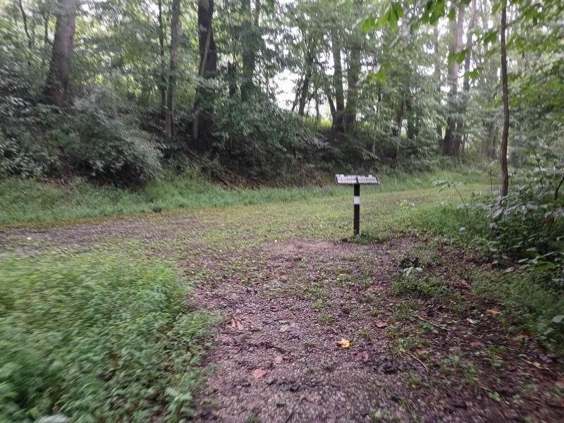
Location. 38° 47.473′ N, 80° 33.732′ W. Marker is in Bulltown, West Virginia, in Braxton County. It is at the intersection of Bulltown Campground Road and Millstone Run Road, on the right when traveling west on Bulltown Campground Road. Touch for map. Marker is at or near this postal address: 56 Bulltown Campground Road, Napier WV 26631, United States of America. Touch for directions.

Regionally, this marker is in North Central West Virginia. It is also in the American South, specifically in the Upper South, in Appalachia, and specifically in Southern Appalachia. Globally, it is in North America, the Western Hemisphere, the Western World, and the Anglosphere. Historically, it finds itself in what was once the territory of the Mississippian Culture.
Other nearby markers. At least 8 other markers
Photographed by Craig Doda, August 2, 2026
2. Weston and Gauley Bridge Turnpike Marker
Credits. This page was last revised on August 27, 2026. It was originally submitted on August 24, 2026, by Craig Doda of Napoleon, Ohio. This page has been viewed 13 times since then. Photos: 1, 2. submitted on August 24, 2026, by Craig Doda of Napoleon, Ohio. • Andrew Ruppenstein was the editor who published this page.
