
Bulltown in Braxton County, West Virginia — The American South (Appalachia)
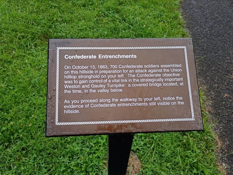
Confederate Entrenchments
Photographed by Craig Doda, August 2, 2026
1. Confederate Entrenchments Marker
On October 13, 1863, 700 Confederate soldiers assembled on this hillside in preparation for an attack against the Union hilltop stronghold on your left. The Confederate objective was to gain control of a vital link in the strategically important Weston and Gauley Turnpike: a covered bridge located, at the time, in the valley below.
As you proceed along the walkway to your left, notice the evidence of Confederate entrenchments still visible on the hillside.
Topics. This historical marker is listed in this topic list: War, US Civil. A significant historical date for this entry is October 13, 1863.
Location. 38° 47.235′ N, 80° 34.064′ W. Marker is in Bulltown, West Virginia, in Braxton County. It is at the intersection of Gauley Turnpike (U.S. 19) and Millstone Run Road, on the right when traveling east on Gauley Turnpike. Touch for map. Marker is at or near this postal address: 2061 WV-4, Napier WV 26631, United States of America. Touch for directions.

Regionally, this marker is in North Central West Virginia. It is also in the American South, specifically in the Upper South, in Appalachia, and specifically in Southern Appalachia.
this page online
Other nearby markers. At least 8 other markers are within walking distance of this marker: Confederate Overlook (within shouting distance of this marker); Veterans Memorial (about 300 feet away, measured in a direct line); Unknown Confederate Soldiers (about 300 feet away); Battle of Bulltown (about 600 feet away); Entrance to Fortifications (approx. ¼ mile away); Well (approx. ¼ mile away); Main Trench (approx. ¼ mile away); a different marker also named The Battle of Bulltown (approx. ¼ mile away). Touch for a list and map of all markers in Bulltown.

Photographed by Craig Doda, August 2, 2026
2. Confederate Entrenchments Marker
Credits. This page was last revised on August 27, 2026. It was originally submitted on August 24, 2026, by Craig Doda of Napoleon, Ohio. This page has been viewed 9 times since then. Photos: 1, 2. submitted on August 24, 2026, by Craig Doda of Napoleon, Ohio. • Devry Becker Jones was the editor who published this page.
