
Gassaway in Braxton County, West Virginia — The American South (Appalachia)
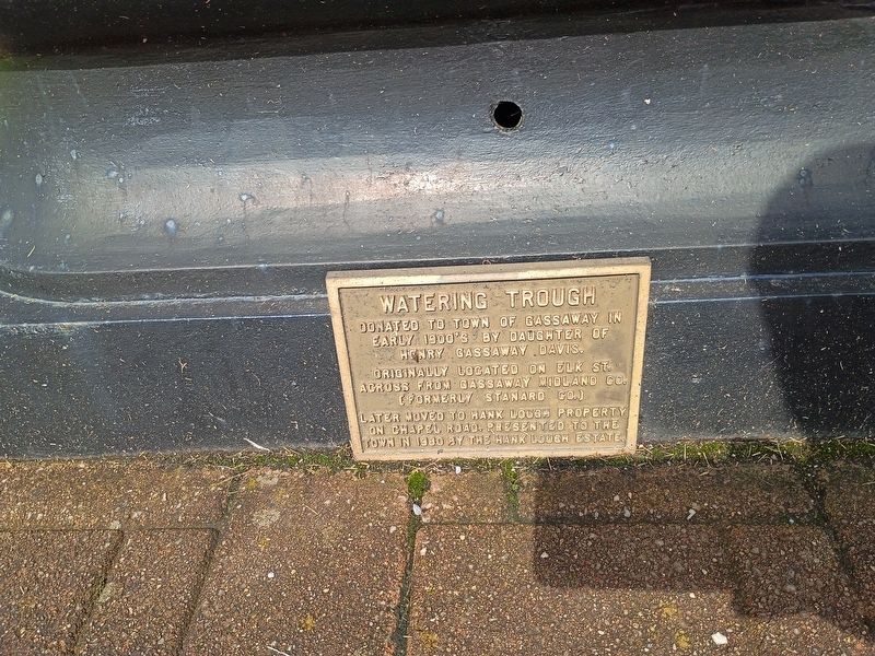
Watering Trough
Photographed by Craig Doda, August 2, 2026
1. Watering Trough Marker
Originally located on Elk St. across from Gassaway Midland Co. (formerly Stanard Co.)
Later moved to Hank Lough property on Chapel Road. Presented to the town in 1980 by the Hank Lough estate.
Topics. This historical marker is listed in this topic list: Man-Made Features. A significant historical year for this entry is 1980.
Location. 38° 40.295′ N, 80° 46.533′ W. Marker is in Gassaway, West Virginia, in Braxton County. It is at the intersection of Elk Street and 5th Street, on the right when traveling south on Elk Street. Touch for map. Marker is at or near this postal address: 413 Elk St, Gassaway WV 26624, United States of America. Touch for directions.

Regionally, this marker is in North Central West Virginia. It is also in the American South, specifically in the Upper South, in Appalachia, and specifically in Southern Appalachia. Globally, it is in North America, the Western Hemisphere, the Western World, and the Anglosphere. Historically, it finds itself in what was once the territory of the Mississippian Culture.
Other nearby markers. At
this page online
Another marker is no longer nearby. The Burning of Suttonville (was approx. 3.3 miles away but has been replaced with another marker now near it).
Photographed by Craig Doda, August 2, 2026
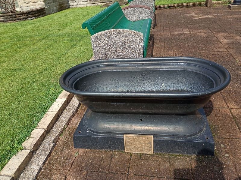
2. Watering Trough Marker
Photographed by Craig Doda, August 2, 2026
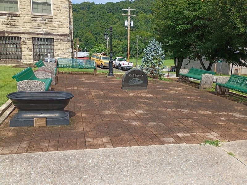
3. Watering Trough Marker
Credits. This page was last revised on August 26, 2026. It was originally submitted on August 24, 2026, by Craig Doda of Napoleon, Ohio. This page has been viewed 13 times since then. Photos: 1, 2, 3. submitted on August 24, 2026, by Craig Doda of Napoleon, Ohio. • Andrew Ruppenstein was the editor who published this page.
