
Mount Edward in Charlottetown, Prince Edward Island — The Atlantic Provinces (North America)
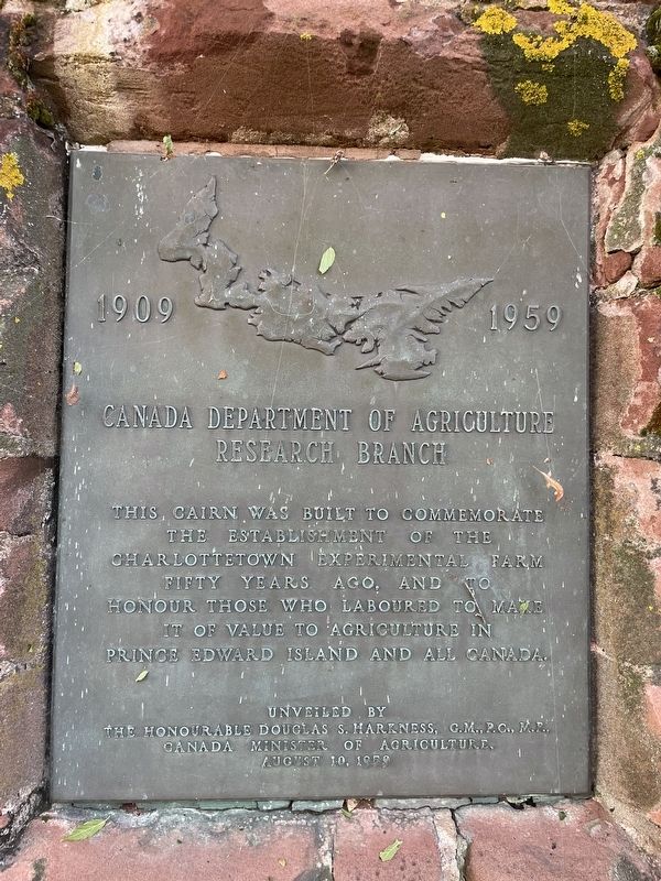
Canada Department of Agriculture Research Branch
Photographed by Jay Noble, August 26, 2026
1. Canada Department of Agriculture Research Branch Marker
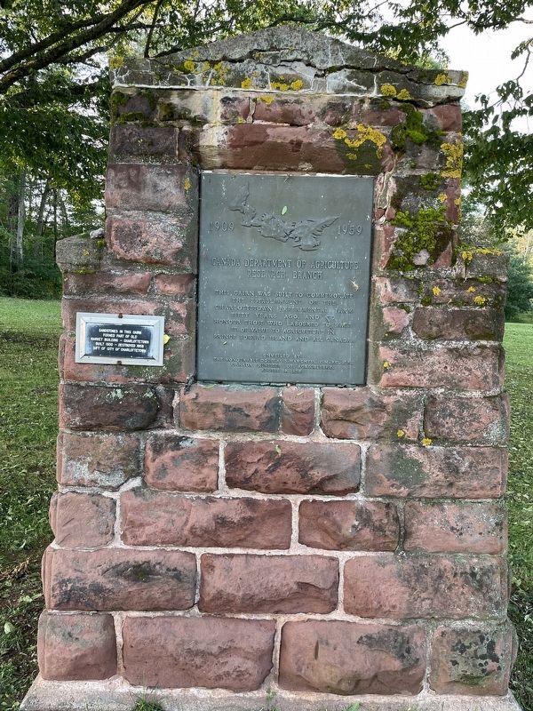
This cairn was built to commemorate the establishment of the Charlottetown Experimental Farm fifty years ago, and to honour those who laboured to make it of value to agriculture in Prince Edward Island and all Canada.
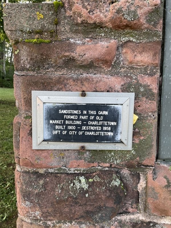
(On the same cairn, to the left of the original marker)
Sandstones in this cairn formed part of Old Market Building - Charlottetown Built 1900 - Destroyed 1958
Gift of City of Charlottetown
Erected 1959 by Department of Agriculture.
Topics. This historical marker is listed in this topic list: Agriculture. A significant historical year for this entry is 1959.
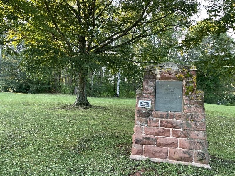
Location. 46° 15.007′ N, 63° 7.629′ W. Marker is in Charlottetown, Prince Edward Island. It is in Mount Edward. It is on Indigo Crescent. Touch for map. Marker is at or near this postal address: 33 Indigo Crescent, Charlottetown PE C1A 5S1, Canada. Touch for directions.

Regionally, this marker is in the Maritimes and in Atlantic Canada. Globally, it is in the North Atlantic Region, North America, the Western Hemisphere, the Western World, and the Anglosphere. Historically, it finds itself in what was once a British colony and
this page online
Other nearby markers. At least 8 other markers are within walking distance of this marker: Ardgowan (about 150 meters away, measured in a direct line); The Old Protestant Burying Ground (approx. 1.2 kilometers away); The Old Protestant Burying Ground / L'ancien cimetière protestant (approx. 1.2 kilometers away); The Trans Canada Trail on Price Edward Island (approx. 1.2 kilometers away); History of Joseph A. Ghiz Memorial Park (approx. 1.3 kilometers away); King Square (approx. 1.3 kilometers away); Fairholm (approx. 1.3 kilometers away); Preserving Our History (approx. 1.4 kilometers away). Touch for a list and map of all markers in Charlottetown.
Photographed by Jay Noble, August 26, 2026
2. Canada Department of Agriculture Research Branch Marker
Photographed by Jay Noble, August 26, 2026
3. Canada Department of Agriculture Research Branch Marker
Photographed by Jay Noble, August 26, 2026
4. Canada Department of Agriculture Research Branch Marker
Credits. This page was last revised on August 26, 2026. It was originally submitted on August 26, 2026, by Jay Noble of Charlottetown, Prince Edward Island. This page has been viewed 10 times since then. Photos: 1, 2, 3, 4. submitted on August 26, 2026, by Jay Noble of Charlottetown, Prince Edward Island. • Andrew Ruppenstein was the editor who published this page.
