Vancouver in Clark County, Washington — The American West (Northwest)
Exploring the "Mult-no-mâh"
Photographed by Barry Swackhamer, June 11, 2026
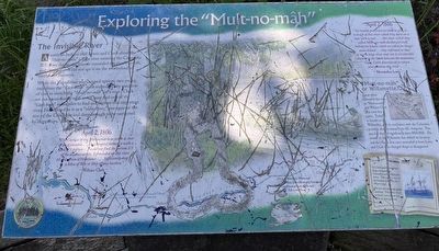
1. Exploring the "Mult-no-mâh" Marker
American Indians told Lewis and Clark about the "Mult-no-mâh." a large river entering the Columbia from the south. Islands concealed the river's mouth and the forests did not see it on the westbound or eastbound journeys.
While the Expedition was camped upriver, two young men from the "Cash-hooks" tribe visited. They used bits of coal to sketch the ""Mult-no-mâh" on a mat. Clark set out immediately with seven men and one of the "Cash-hooks" as this pilot to find and explore this important river. He referred to it as a "noble river," one-quarter the size of the Columbia and deep enough to be navigated by large ships.
The Current of the Multnomar is as jentle as that of the Coliumbia... I attempted fathom it with a cord of 5 fathom...could not find the bottom 1/3 of the distance across. I proceeded up this river 10 miles from it's entrance...Sufficiently deep a Man of War or ship of any burthen."
William Clark
April 2, 1806
" we readily prevailed on them to give us a sketch of this river which they drew on a mat with a coal....this river which they called Mult-no-mâh discharged itself behind the Island which we called the image canoe Island...they informed us that it was a large river and run a considerable distance to the South between the mountains. Capt. Clark determined to return and examine the river..."
this page online
Meriweter Lewis
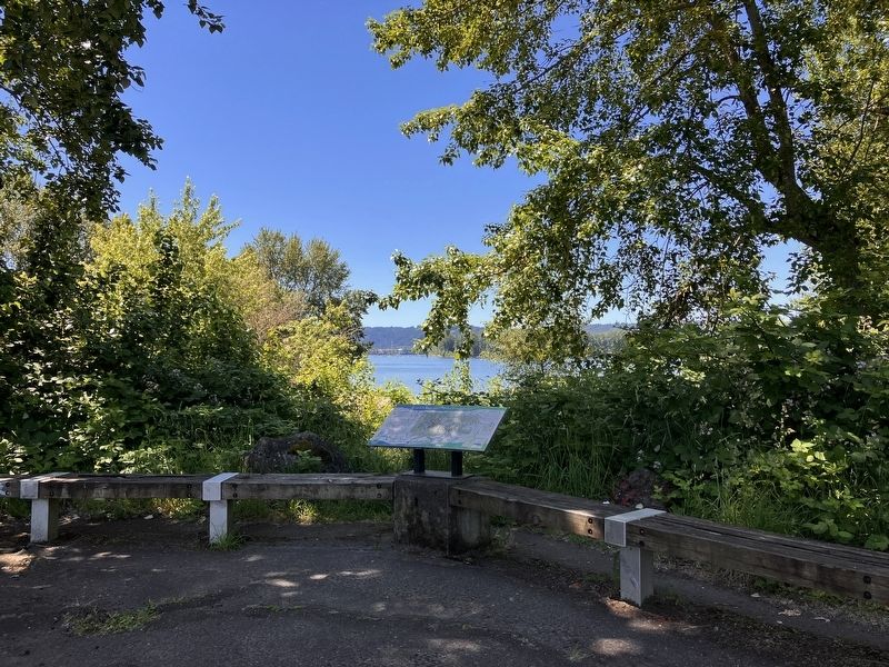
Local tribes referred to this rove as Mult-no-mâh" and William Clark also used the namer. Today, it is known as the Willamette, and its confluence with the Columbia is visible directly across from this viewpoint. This area has changed significantly since 1805-1806. The mouth of the Willamette has shifted its location and the islands that once concealed it from Lewis and Clark have changed shape or disappeared.
Erected by Washington Lewis and Clark Bicentennial Commission.
Topics and series. This historical marker is listed in these topic lists: Exploration • Waterways & Vessels. In addition, it is included in the Lewis & Clark Expedition series list. A significant historical date for this entry is April 2, 1806.
Location. 45° 40.301′ N, 122° 44.637′ W. Marker is in Vancouver, Washington, in Clark County. It is on Northwest Erwin O. Reiger Memorial Highway near Northwest Lower River Road. The marker is located at Frenchmen's Bar Regional Park. Touch for map. Marker is in this post office area: Vancouver WA 98660, United States of America. Touch for directions.

Regionally, this
Photographed by Barry Swackhamer, June 11, 2026
2. Exploring the "Mult-no-mâh" Marker
Other nearby markers. At least 8 other markers are within 5 miles of this marker, measured as the crow flies: Early Inhabitants and Explorers (approx. 1.2 miles away); In Memory of the Pioneers of the Oregon Trail 1844 (approx. 4 miles away); Covington House (approx. 4 miles away); Clark County Courthouse (approx. 4.3 miles away); Esther Short (approx. 4.6 miles away); Captain George Vancouver Monument Plaza (approx. 4.8 miles away); Captain George Vancouver Monument (approx. 4.8 miles away); The Infantry Barracks (approx. 4.8 miles away). Touch for a list and map of all markers in Vancouver.
Credits. This page was last revised on August 31, 2026. It was originally submitted on August 26, 2026, by Barry Swackhamer of Brentwood, California. This page has been viewed 16 times since then. Photos: 1, 2. submitted on August 26, 2026, by Barry Swackhamer of Brentwood, California.
