Coshocton in Coshocton County, Ohio — The American Midwest (Great Lakes)
Lichtenau
Photographed by Rev. Ronald Irick, October 12, 2020
1. Lichtenau Marker
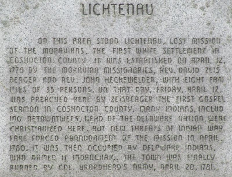
On this area stood Lichtenau, lost mission of the Moravians, the first white settlement in Coshocton County. It was established on April 12, 1776 by the Moravian Missionaries, Rev. David Zeisberger and Rev. John Heckewelder, with eight families of 35 persons. On that day, Friday, April 12, was preached here by Zeisberger the first gospel sermon in Coshocton County. Many Indians, including Netawatwees, head of the Delaware Nation, were Christianized here, but new threats of Indian War fare forced abandonment of the mission in April 1780. It was the occupied by Delaware Indians, who named it Indaochaic. The town was finally burned by Col. Broadhead’s army, April 20, 1781.
Topics. This historical marker is listed in these topic lists: Indigenous Peoples and Communities • Religion & Religious Structures • Settlements & Settlers • War, US Revolutionary. A significant historical date for this entry is April 12, 1776.
Location. 40° 14.771′ N, 81° 52.23′ W. Marker is in Coshocton, Ohio, in Coshocton County. It is at the intersection of South 2nd Street (County Route 271) and Clow Lane, on the left when traveling south on South
this page online

Regionally, this marker is in Amish Country. It is also in the American Midwest, in Appalachia, and specifically in Northern Appalachia. Globally, it is in North America, the Western Hemisphere, the Western World, and the Anglosphere. Historically, it finds itself in what was once the Haudenosaunee (Iroquois) Confederacy, the territory of the Mississippian Culture, and the Northwest Territory.
Other nearby markers. At least 8 other markers are within 2 miles of this marker, measured as the crow flies: The Porteous Mound (approx. one mile away); Delaware Nation Council House (approx. 1.9 miles away); Little Social Histories (approx. 1.9 miles away); Saying Goodbye to J.J. Newberry's (approx. 1.9 miles away); The Candy Department (approx. 1.9 miles away); The Pet Department (approx. 1.9 miles away); J.J. Newberry (approx. 1.9 miles away); Edgar O. Selby (approx. 1.9 miles away). Touch for a list and map of all markers in Coshocton.
Related marker. Click here
Photographed by Rev. Ronald Irick, October 12, 2020
2. Lichtenau Marker
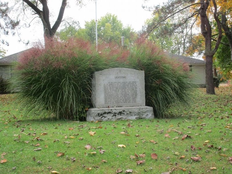
This view of the marker is from the corner of County Road 271 and Clow Lane.
Credits. This page was last revised on August 27, 2026. It was originally submitted on October 14, 2020, by Rev. Ronald Irick of West Liberty, Ohio. This page has been viewed 1,658 times since then and 213 times this year. Last updated on August 27, 2026, by Carl Gordon Moore Jr. of North East, Maryland. Photos: 1, 2. submitted on October 14, 2020, by Rev. Ronald Irick of West Liberty, Ohio. • Devry Becker Jones was the editor who published this page.
