Droitwich Spa in Worcestershire, England, United Kingdom — Northwestern Europe (the British Isles)
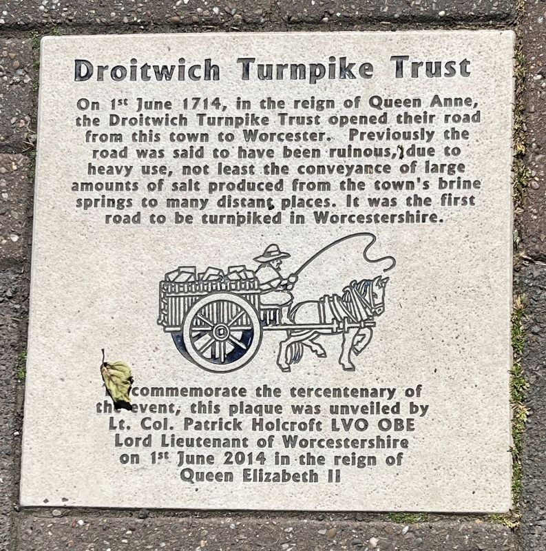
Droitwich Turnpike Trust
Photographed by Ray Gurganus, May 13, 2026
1. Droitwich Turnpike Trust Marker
To commemorate the tercentenary of the event, this plaque was unveiled by Lt. Col. Patrick Holcroft LVO OBE Lord Lieutenant of Worcestershire on 1st June 2014 in the reign of Queen Elizabeth II.
Topics. This historical marker is listed in this topic list: Roads & Vehicles. A significant historical date for this entry is June 1, 1714.
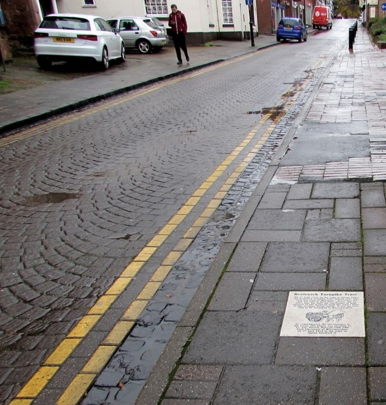
Location. 52° 16.108′ N, 2° 8.93′ W. Marker is in Droitwich Spa, England, in Worcestershire. It is at the intersection of Saint Andrew's Street and High Street, on the right when traveling south on Saint Andrew's Street. Touch for map. Marker is at or near this postal address: 31 St Andrew's Street, Droitwich Spa, England WR9 8LB, United Kingdom. Touch for directions.

Regionally, this marker is in the Midlands. Globally, it is on the Atlantic
this page online
Other nearby markers. At least 8 other markers are within 11 kilometers of this marker, measured as the crow flies: Welcome to the historic town of Droitwich Spa (about 180 meters away, measured in a direct line); History of Lido Park & St Peter's Fields (approx. 0.7 kilometers away); St Andrew's Church (approx. 10 kilometers away); Elgar Brothers, 10 High Street (approx. 10 kilometers away); St Alban's Church (approx. 10 kilometers away); Dr John Wall (1708-1776) / South Quay (approx. 10 kilometers away); North Parade (approx. 10.1 kilometers away); South Parade (approx. 10.1 kilometers away). Touch for a list and map of all markers in Droitwich Spa.
Jaggery via Geograph.org.uk under Creative Commons Licence, circa 2016
2. Droitwich Turnpike Trust Marker
Credits. This page was last revised on August 27, 2026. It was originally submitted on August 27, 2026, by Ray Gurganus of Washington, District of Columbia. This page has been viewed 10 times since then. Photos: 1. submitted on August 27, 2026, by Ray Gurganus of Washington, District of Columbia. 2. submitted on August 27, 2026. • Andrew Ruppenstein was the editor who published this page.
