Port Republic in Rockingham County, Virginia — The American South (Mid-Atlantic)
Bottleneck at the Bridge
“Jackson Could Not Delay”
| — | The Battle of Port Republic (June 9, 1862) | — |
Photographed by Jay Richardson, August 22, 2026
1. Bottleneck at the Bridge Marker
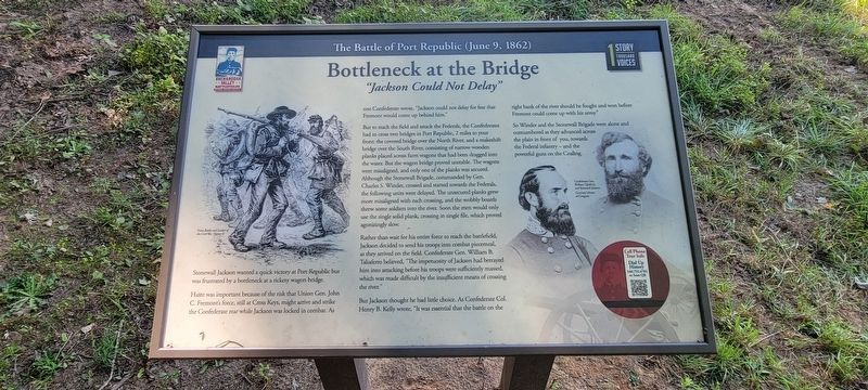
Stonewall Jackson wanted a quick victory at Port Republic but was frustrated by a bottleneck at a rickety wagon bridge.
Haste was important because of the risk that Union Gen. John C. Fremont’s force, still at Cross Keys, might arrive and strike the Confederate rear while Jackson was locked in combat. As one Confederate wrote, “Jackson could not delay for fear that Fremont would come up behind him.”
But to reach the field and attack the Federals, the Confederates had to cross two bridges in Port Republic, 2 miles to your front: the covered bridge over the North River, and a makeshift bridge over the South River, consisting of narrow wooden planks placed across farm wagons that had been dragged into the water. But the wagon bridge proved unstable. The wagons were misaligned, and only one of the planks was secured. Although the Stonewall Brigade, commanded by Gen. Charles S. Winder, crossed and started towards the Federals, the following units were delayed. The unsecured planks grew more misaligned with each crossing, and the wobbly boards threw some soldiers into the river. Soon the men would only use the single
this page online
Rather than wait for his entire force to reach the battlefield, Jackson decided to send his troops into combat piecemeal, as they arrived on the field. Confederate Gen. William B. Taliaferro believed, “The impetuosity of Jackson had betrayed him into attacking before his troops were sufficiently massed, which was made difficult by the insufficient means of crossing the river.”
But Jackson thought he had little choice. As Confederate Col. Henry B. Kelly wrote, “It was essential that the battle on the right bank of the river should be fought and won before Fremont could come up with his army.”
So Winder and the Stonewall Brigade were alone and outnumbered as they advanced across the plain in front of you, towards the Federal infantry—and the powerful guns on the Coaling.
(captions)
Battles and Leaders of the Civil War, Volume II
Confederate Gen. William Taliaferro and Stonewall Jackson. Courtesy Library of Congress
Cell Phone Tour Info
Dial Up History
540.755.4782 or scan the QR
Erected 2026 by Shenandoah Valley Battlefields Foundation.
Topics.
Photographed by Jay Richardson, August 22, 2026
2. Port Republic Battlefield
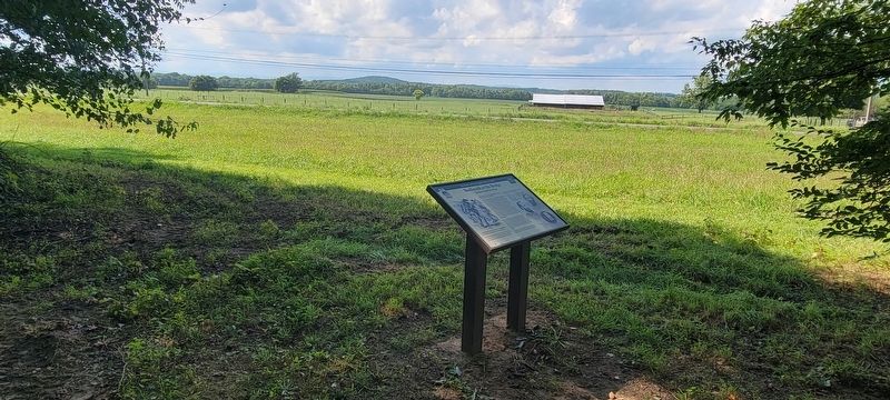
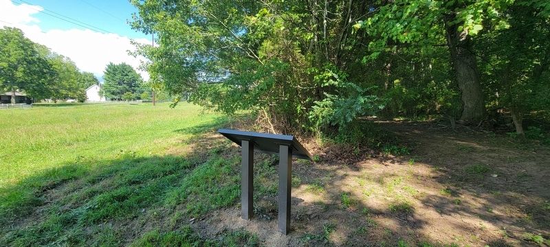
Location. 38° 18.023′ N, 78° 46.183′ W. Marker is in Port Republic, Virginia, in Rockingham County. It can be reached from South East Side Highway (U.S. 340) south of Ore Bank Road, on the right when traveling north. This marker is located along the River Plains Walking Trail on the Port Republic Battlefield, accessible from the trailhead at Port Republic and Ore Bank roads. Touch for map. Marker is in this post office area: Port Republic VA 24471, United States of America. Touch for directions.

Regionally, this marker is in the Shenandoah Valley. It is also in the American South and specifically in the Upper South. Globally, it is in North America, the Western Hemisphere, the Western World, and the Anglosphere. Historically, it finds itself in what was once the territory of the Mississippian Culture, one of the original Thirteen Colonies, one of the Confederate States of America, and the Antebellum South.
Other nearby markers. At least 8 other markers are within walking distance of this marker: Ewell's Flank Attack
Photographed by Jay Richardson, August 22, 2026
3. River Plains Walking Trail
Credits. This page was last revised on August 31, 2026. It was originally submitted on August 27, 2026, by Jay Richardson of Winchester, Virginia. This page has been viewed 17 times since then. Photos: 1, 2, 3. submitted on August 27, 2026, by Jay Richardson of Winchester, Virginia. • Bernard Fisher was the editor who published this page.
