
Port Republic in Rockingham County, Virginia — The American South (Mid-Atlantic)
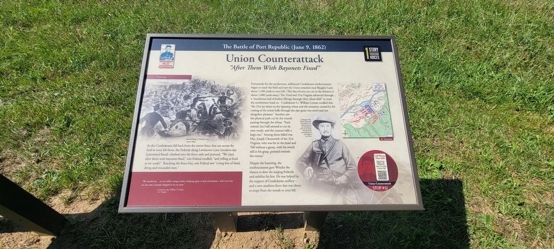
Union Counterattack
“After Them With Bayonets Fixed”
| — | The Battle of Port Republic (June 9, 1862) | — |
Photographed by Jay Richardson, August 22, 2026
1. Union Counterattack Marker
Morning
As the Confederates fell back from the worm fence that ran across the field to your left front, the Federals along Lewistown Lane (modern-day Lynnwood Road) climbed over the fence rails and pursued. “We [ran] after them with bayonets fixed,” one Federal recalled, “and yelling as loud as we could.” Reaching the fence line, one Federal saw “a long line of dead, dying and wounded men.”
“We crawled up… on our bellies, rising to shoot, dropping again to load and advance. And every time we rose some comrades dropped to rise no more.” — Confederate Sgt. William F. Gordon, 31st Virginia
Fortunately for the southerners, additional Confederate reinforcements began to reach the field and met the Union attackers near Baugher Lane, about 1,500 yards to your left. (The line of trees you see in the distance is about 1,000 yards away.) The 52nd and 31st Virginia advanced through a “murderous hail of bullets [flying] through [the] wheat field” to meet the northerners head on. Confederate Lt. William Lyman recalled that “the 31st lay down in the ripening wheat and the sensation caused by the cutting of the minie balls through
this page online
Despite the battering, the reinforcements gave Winder the chance to slow the surging Federals and stabilize his line. He was helped by the support of Confederate artillery—and a new southern force that was about to erupt from the woods to your left.
(captions)
“Bayonet Charge” by Winslow Homer, Harper’s Weekly
Confederate Maj. Joseph Chenoweth was buried on the field, but after the war his burial site could not be found. His remains lie somewhere in the open fields to your front.
Cell Phone Tour Info
Dial Up History
540.755.4782 or scan the QR
Stop #12
Erected 2026 by Shenandoah Valley Battlefields Foundation. (Marker Number Stop #12.)
Topics. This historical marker is listed in this topic list:
Photographed by Jay Richardson, August 22, 2026
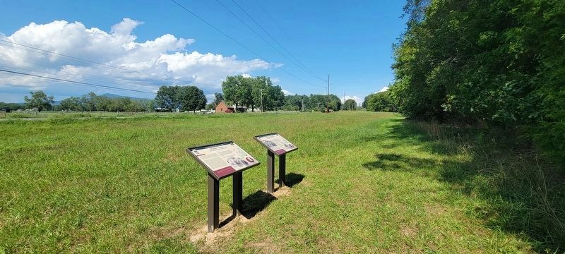
2. Port Republic Battlefield
Union Counterattack marker is on the right.
Location. 38° 18.013′ N, 78° 46.217′ W. Marker is in Port Republic, Virginia, in Rockingham County. It is on South East Side Highway (U.S. 340) south of Ore Bank Road, on the right when traveling north. This marker is located along the River Plains Walking Trail on the Port Republic Battlefield, accessible from the trailhead at Port Republic and Ore Bank roads. Touch for map. Marker is in this post office area: Port Republic VA 24471, United States of America. Touch for directions.

Regionally, this marker is in Virginia’s Shenandoah Valley. It is also in the American South and specifically in the Upper South. Globally, it is in North America, the Western Hemisphere, the Western World, and the Anglosphere. Historically, it finds itself in what was once the territory of the Mississippian Culture, one of the original Thirteen Colonies, one of the Confederate States of America, and the Antebellum South.
Other nearby markers. At least 8 other markers are within walking distance of this marker: Winder's Attack (here, next to this marker); Bottleneck at the Bridge
Photographed by Jay Richardson, August 22, 2026
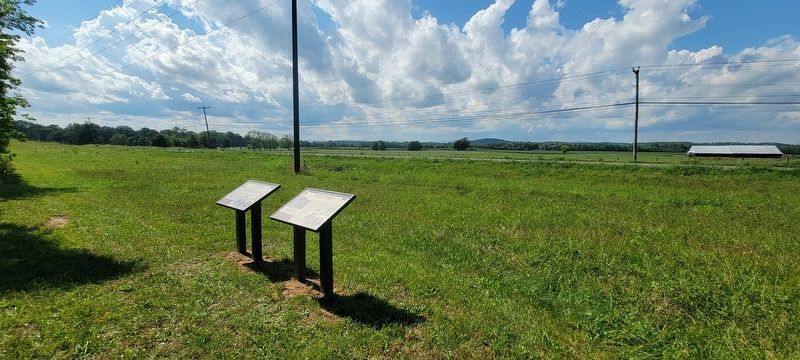
3. River Plains Walking Trail
Credits. This page was last revised on August 31, 2026. It was originally submitted on August 27, 2026, by Jay Richardson of Winchester, Virginia. This page has been viewed 8 times since then. Photos: 1, 2, 3. submitted on August 27, 2026, by Jay Richardson of Winchester, Virginia. • Bernard Fisher was the editor who published this page.
