
Lynnwood in Rockingham County, Virginia — The American South (Mid-Atlantic)
First Confederate Advance
"Sheets of Flame Leaped Over the Wheat”
| — | The Battle of Port Republic (June 9, 1862) | — |
Photographed by Jay Richardson, August 22, 2026
1. First Confederate Advance Marker
Early Morning
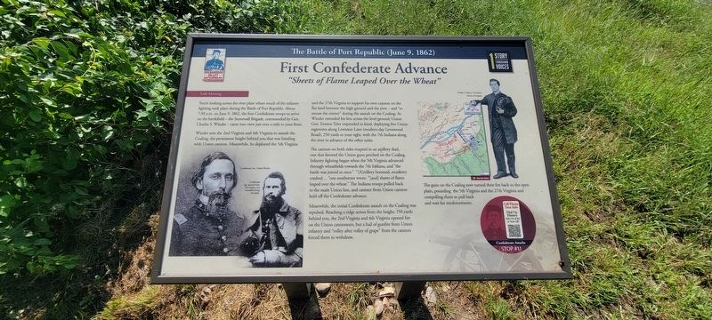
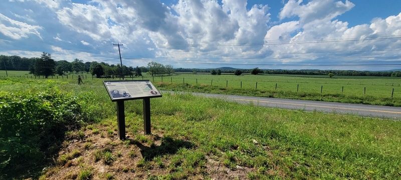
You’re looking across the river plain where much of the infantry fighting took place during the Battle of Port Republic. About 7:30 a.m. on June 9, 1862, the first Confederate troops to arrive on the battlefield—the Stonewall Brigade, commanded by Gen. Charles S. Winder—came into view just over a mile to your front.
Winder sent the 2nd Virginia and 4th Virginia to assault the Coaling, the prominent height behind you that was bristling with Union cannon. Meanwhile, he deployed the 5th Virginia and the 27th Virginia to support his own cannon on the flat land between the high ground and the river—and “to amuse the enemy” during the assault on the Coaling. As Winder extended his line across the level ground, Union Gen. Erastus Tyler responded in kind, deploying five Union regiments along Lewiston Lane (modern-day Lynnwood Road), 250 yards to your right, with the 7th Indiana along the river in advance of the other units.
The cannon on both sides erupted in an artillery duel, one that favored the Union guns perched on the Coaling. Infantry fighting began when the 5th Virginia advanced through wheatfields
this page online
Meanwhile, the initial Confederate assault on the Coaling was repulsed. Reaching a ridge across from the height, 150 yards behind you, the 2nd Virginia and 4th Virginia opened fire on the Union cannoneers, but a hail of gunfire from Union infantry and “volley after volley of grape” from the cannon forced them to withdraw.
The guns on the Coaling now turned their fire back to the open plain, pounding the 5th Virginia and the 27th Virginia and compelling them to pull back and wait for reinforcements.
(captions)
Confederate Gen. Charles Winder
Confederate Sgt. Samuel Hays, 5th Virginia, was wounded during the battle
George P. Clayton, 7th Indiana. Library of Congress.
Cell Phone Tour Info
Dial Up History
540.755.4782 or scan the QR
Stop #11
Erected 2026 by Shenandoah Valley Battlefields Foundation. (Marker
Photographed by Jay Richardson, August 22, 2026
2. Port Republic Battlefield
Topics. This historical marker is listed in this topic list: War, US Civil. A significant historical date for this entry is June 9, 1862.
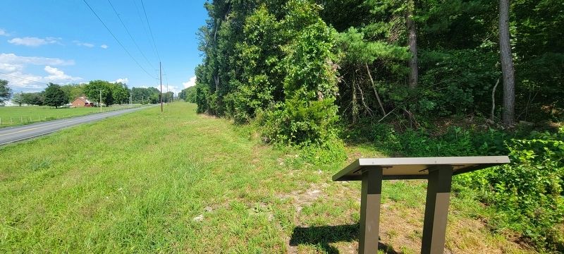
Location. 38° 17.986′ N, 78° 46.278′ W. Marker is in Lynnwood, Virginia, in Rockingham County. It is on South East Side Highway (U.S. 340) south of Ore Bank Road, on the right when traveling north. This marker is located at the far western end of the River Plains Walking Trail on the Port Republic Battlefield, accessible from the trailhead at Port Republic and Ore Bank roads. Touch for map. Marker is in this post office area: Port Republic VA 24471, United States of America. Touch for directions.

Regionally, this marker is in Virginia’s Shenandoah Valley. It is also in the American South and specifically in the Upper South. Globally, it is in North America, the Western Hemisphere, the Western World, and the Anglosphere. Historically, it finds itself in what was once the territory of the Mississippian Culture, one of the original Thirteen Colonies, one of the Confederate States of America, and the Antebellum South.
Other nearby markers. At least 8 other markers are within
Photographed by Jay Richardson, August 22, 2026
3. River Plains Walking Trail
Credits. This page was last revised on August 31, 2026. It was originally submitted on August 27, 2026, by Jay Richardson of Winchester, Virginia. This page has been viewed 14 times since then. Photos: 1, 2, 3. submitted on August 27, 2026, by Jay Richardson of Winchester, Virginia. • Bernard Fisher was the editor who published this page.
