
Washougal in Clark County, Washington — The American West (Northwest)
Captain William Clark Park
Photographed by Barry Swackhamer, June 11, 2026
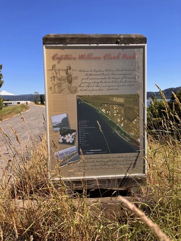
1. Captain William Clark Park Marker
Charge with identifying transportation routes and recording scientific information, Lewis and Clark Expedition, the Corps of Discovery produced hundreds of maps and sketches of the landscape, plants, and wildlife. Throughout the journey, especially here on the Lower Columbia River where Native American populations were among the largest on the continent-- Lewis and Clark found the Indians eager to exchange goods, food, and information. In fact, without the assistance of Native tribes, the Corps would likely have failed in their mission.
Cottonwood Beach is an outstanding setting to explore the history of the Corps of Discovery and the natural history of the lower Columbia River. We hope you will enjoy your visit
Topics. This historical marker is listed in these topic lists: Exploration • Indigenous Peoples and Communities.
Location. 45° 34.23′ N, 22° 20.594′ W.
this page online

Regionally, this marker is in Greater Portland Area and in Southwest Washington State. It is also on the American Pacific Coast, in the Pacific Northwest, and in the Lewis & Clark Corridor. Globally, it is in North America, the Pacific Rim, the Western Hemisphere, the Western World, and the Anglosphere.
More about this marker. Copies of this marker may be found at several locations throughout the park.
Photographed by Barry Swackhamer, June 11, 2026
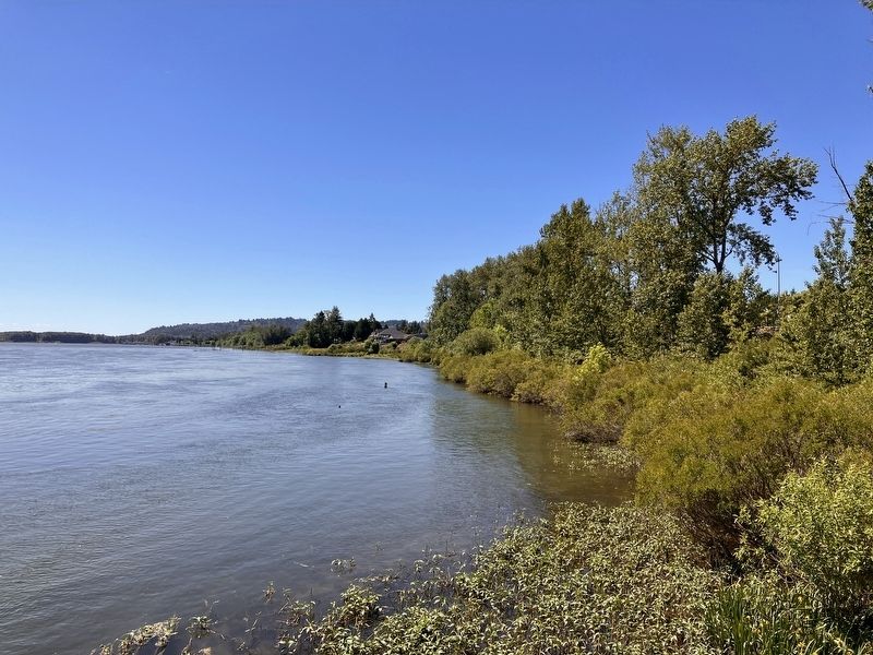
2. Captain William Clark Park to the west.
Photographed by Barry Swackhamer, June 11, 2026
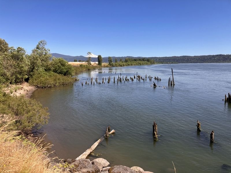
3. Captain William Clark Park to the southeast
Credits. This page was last revised on August 28, 2026. It was originally submitted on August 28, 2026, by Barry Swackhamer of Brentwood, California. This page has been viewed 6 times since then. Photos: 1, 2, 3. submitted on August 28, 2026, by Barry Swackhamer of Brentwood, California.
