
Fort Loramie in Shelby County, Ohio — The American Midwest (Great Lakes)
Pierre Lorimier Died in 1812

Photographed by Craig Doda, July 11, 2026
1. Pierre Lorimier Died in 1812 Marker
Pierre Lorimier died in 1812, several years after Charlotte's passing in 1808. After his wife had passed, Lorimier dedicated a piece of land as a cemetery, and had his wife the first to be buried in it. When he passed, he was buried alongside her in the Old Lorimier Cemetery in Cape Giardeau. Lorimier's death marked the end of a life shaped by resilience, diplomacy, and cultural bridge-building across a rapidly changing American frontier. Although Lorimier was once burned out of Ohio by American forces, his legacy endured. In 1911, Berlin was renamed to Fort Loramie in honor of Peirre Lorimier. The very land where Lorimier's original trading post once stood—later used as a military site by General Anthony Wayne—is located about a quarter mile north of town. Today that land is part of the Fleckenstein Farm, where artifacts like cannonballs and arrowheads continue to surface. Some relics are preserved at the Fort Loramie Wilderness Trail Museum, serving as tangible reminders of Lorimier's role in shaping the region's early history and identity.
Project Funding Provided By: Fort Loramie Community Service Club • Minster
this page online
Erected 2025 by Eagle Scout Project - Chance Hagaman - Minster, Ohio.
Topics. This historical marker is listed in these topic lists: Cemeteries & Burial Sites • Military. A significant historical year for this entry is 1812.
Location. 40° 21.073′ N, 84° 22.49′ W. Marker is in Fort Loramie, Ohio, in Shelby County. It is at the intersection of West Main Street and Water Street, on the right when traveling south on West Main Street. Touch for map. Marker is at or near this postal address: 30 W Main St, Fort Loramie OH 45845, United States of America. Touch for directions.

Regionally, this marker is in Ohio’s Till Plains. It is also in the American Midwest and in the Corn Belt. Globally, it is in North America, the Western Hemisphere, the Western World, and the Anglosphere. Historically, it finds itself in what was once the Haudenosaunee (Iroquois)
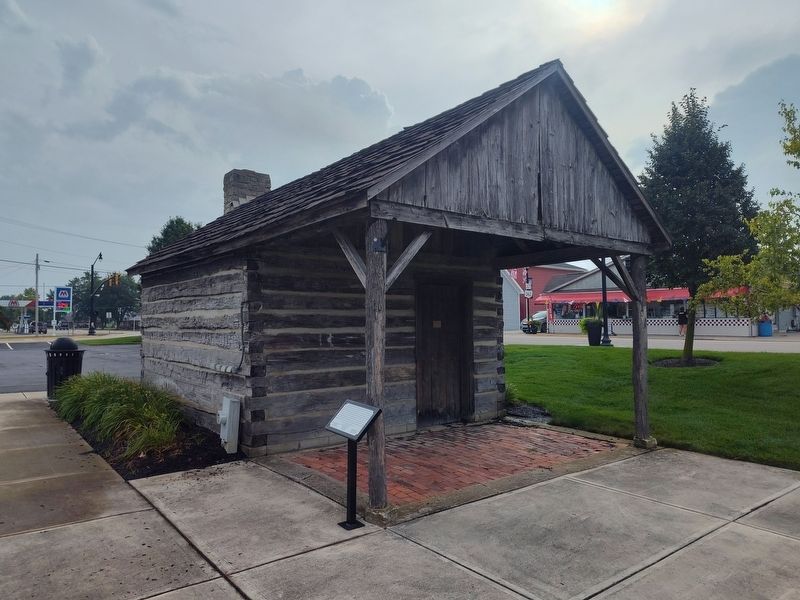
Photographed by Craig Doda, July 11, 2026
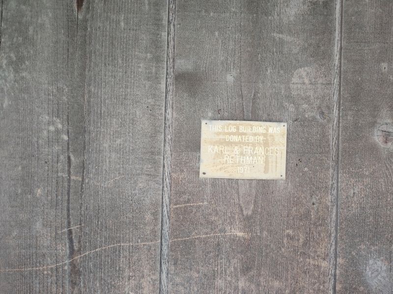
2. Pierre Lorimier Died in 1812 Marker
Other nearby markers. At least 8 other markers are within walking distance of this marker: After the Destruction of his Trading Post (a few steps from this marker); Fort Loramie Veterans Monument (a few steps from this marker); The Frenchman’s Store (within shouting distance of this marker); Buckeye Trail History (within shouting distance of this marker); Greene Ville Treaty Line / Miami and Erie Canal (within shouting distance of this marker); On September 26, 1748 (within shouting distance of this marker); Miami Erie Canal Mile Stone (within shouting distance of this marker); Bernard Mayer Building (within shouting distance of this marker). Touch for a list and map of all markers in Fort Loramie.
Another marker is no longer nearby. Pioneer Portage (was within shouting distance of this marker but has been confirmed missing).
Photographed by Craig Doda, July 11, 2026
3. Pierre Lorimier Died in 1812 Marker
Credits. This page was last revised on September 2, 2026. It was originally submitted on August 28, 2026, by Craig Doda of Napoleon, Ohio. This page has been viewed 7 times since then. Photos: 1, 2, 3. submitted on August 28, 2026, by Craig Doda of Napoleon, Ohio. • Devry Becker Jones was the editor who published this page.
