
Near Fredericksburg in Spotsylvania County, Virginia — The American South (Mid-Atlantic)
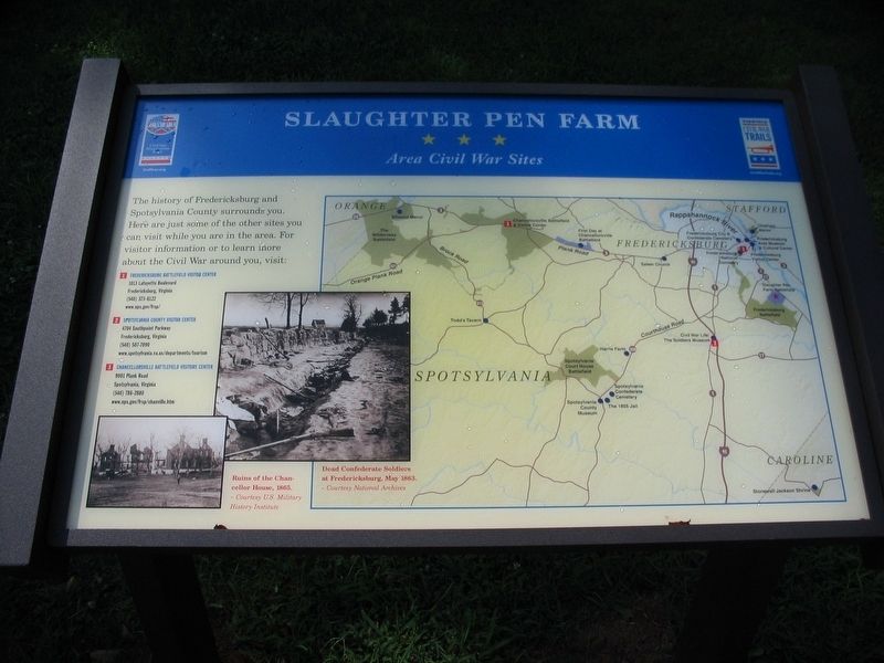
Slaughter Pen Farm
Area Civil War Sites
Photographed by Craig Swain, July 25, 2009
1. Slaughter Pen Farm Marker
The history of Fredericksburg and Spotsylvania County surrounds you. Here are just some of the other sites you can visit while you are in the area. For visitor information or to learn more about the Civil War around you, visit:
❶ Fredericksburg Battlefield Visitor Center
1013 Lafayette Boulevard
Fredericksburg, Virginia
(540) 373-6122
www.nps.gov/frsp
❷ Spotsylvania County Visitor Center
4704 Southpoint Parkway
Fredericksburg, Virginia
(540) 507-7090
www.spotsylvania.va.us/departments/tourism
❸ Chancellorsville Battlefield Visitor Center
9001 Plank Road
Spotsylvania, Virginia
(540) 786-2880
www.nps.gov/frsp/chanville.htm
Erected by Civil War Preservation Trust; Virginia Civil War Trails.
Topics. This historical marker is listed in this topic list: War, US Civil.
Location. This marker has been replaced by another marker nearby. It was located near 38° 15.863′ N, 77° 26.481′ W. Marker was near Fredericksburg, Virginia, in Spotsylvania County. It was on Tessa Trail south of Tidewater Trail (Business U.S. 17), on the right
this page online

Regionally, this marker was in the Washington Metropolitan Area, in Northern Virginia, and in the Piedmont. It was also in the American South, specifically in the Upper South, in the Mid-Atlantic, and on the Eastern Seaboard. Globally, it was in the North Atlantic Region, North America, the Western Hemisphere, the Western World, and the Anglosphere. Historically, it found itself in what was once the territory of the Mississippian Culture, one of the original Thirteen Colonies, one of the Confederate States of America, and the Antebellum South.
Other nearby markers. At least 8 other markers are within walking distance of this location: A different marker also named Slaughter Pen Farm (here, next to this marker); Battle of Fredericksburg (here, next to this marker); a different marker also named Battle of Fredericksburg (here, next to this marker); a different marker also named The Slaughter Pen Farm (a few steps from this marker); a different
Photographed by Craig Swain
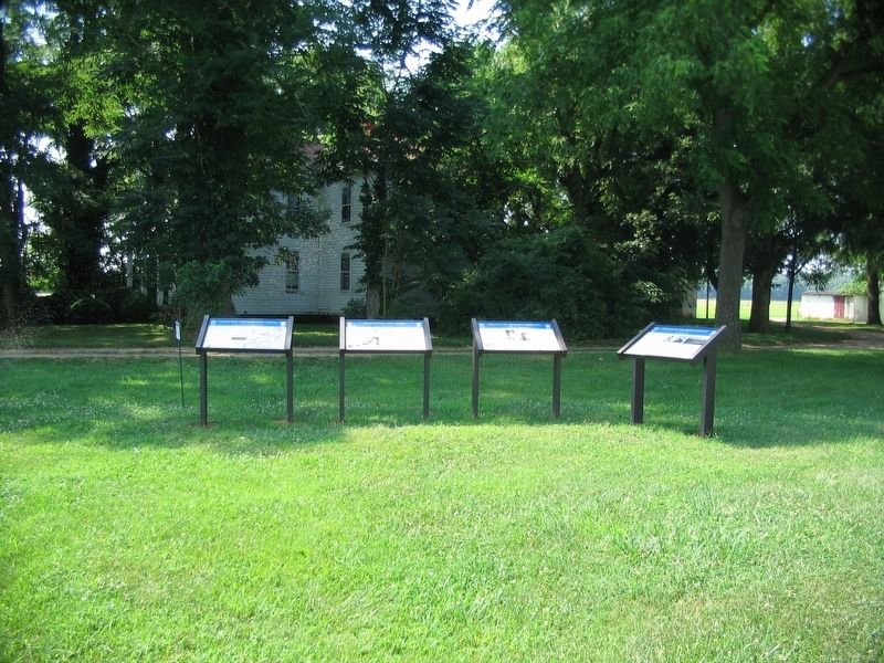
2. Wayside Type Markers at the Entrance to the Slaughter Pen Farm
Other markers no longer nearby. Civil War Preservation Trust (was here, next to this marker but has been replaced with another marker now near it); a different marker also named Slaughter Pen Farm (was within shouting distance of this marker but has been replaced with another marker now near it).
Credits. This page was last revised on August 30, 2026. It was originally submitted on August 30, 2026, by Craig Swain of Leesburg, Virginia. This page has been viewed 10 times since then. Photos: 1, 2. submitted on July 26, 2009, by Craig Swain of Leesburg, Virginia. • Devry Becker Jones was the editor who published this page.
