Near Mollusk in Lancaster County, Virginia — The American South (Mid-Atlantic)
Major Edward Dale
Photographed by Don Morfe, August 17, 2016
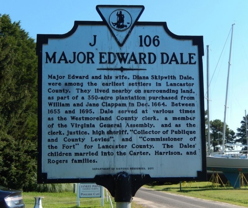
1. Major Edward Dale Marker
Major Edward and his wife, Diana Skipwith Dale, were among the earliest settlers in Lancaster County. They lived nearby on surrounding land, as part of a 350-acre plantation purchased from William and Jane Clappam in Dec. 1664. Between 1653 and 1695, Dale served at various times as the Westmoreland County clerk, a member of the Virginia General Assembly, and as the clerk, justice, high sheriff, "Collector of Publique and County Levies", and "Commissioner of the Fort" for Lancaster County. The Dales’ children married into Carter, Harrison and Rogers families.
Erected 2011 by Department of Historic Resources. (Marker Number J-106.)
Topics and series. This historical marker is listed in these topic lists: Colonial Era • Government & Politics • Settlements & Settlers. In addition, it is included in the Virginia Department of Historic Resources (DHR) series list. A significant historical month for this entry is December 1664.
Location. 37° 41.688′ N, 76° 29.346′ W. Marker is near Mollusk, Virginia, in Lancaster County. It is on Oak Hill Road (Virginia Route 610) half a mile south of Yankee Point Road ( Route 730), on the
this page online

Regionally, this marker is on the Northern Neck. It is also in the American South, specifically in the Upper South, in the Tidewater, in the Chesapeake Bay Region, and on the Eastern Seaboard. Globally, it is in the North Atlantic Region, North America, the Western Hemisphere, the Western World, and the Anglosphere. Historically, it finds itself in what was once the territory of the Mississippian Culture, one of the original Thirteen Colonies, one of the Confederate States of America, and the Antebellum South.
Other nearby markers. At least 8 other markers are within 5 miles of this marker, measured as the crow flies: Barford (approx. 2.2 miles away); Corotoman (approx. 3.7 miles away); Christ Church (approx. 3.7 miles away); Christ Church Lancaster (approx. 3.7 miles away); Foundation for Historic Christ Church, Inc. (approx. 3.7 miles away); Virginia Founders, Revolutionary War Patriots and War of 1812 Veterans
Photographed by Don Morfe, August 17, 2016
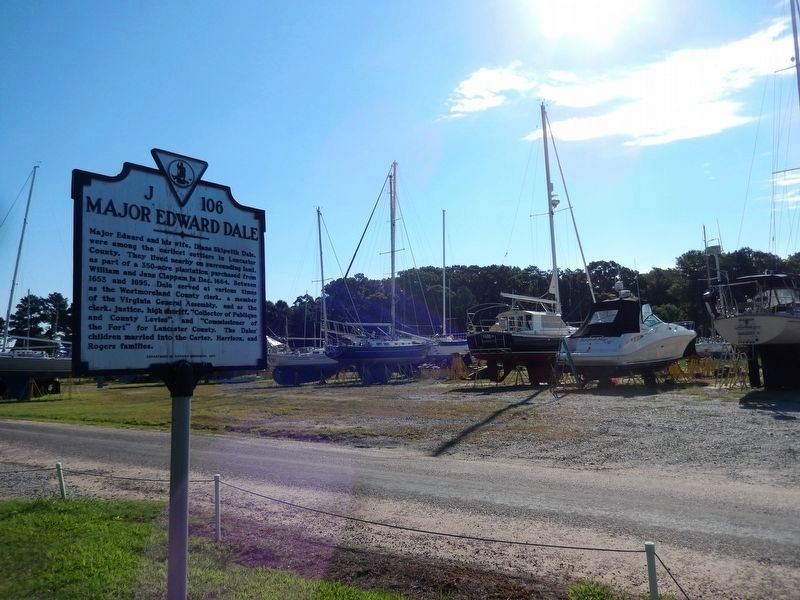
2. Major Edward Dale Marker
The Yankee Point Marina boat yard is in the background
Photographed by Don Morfe, August 17, 2016
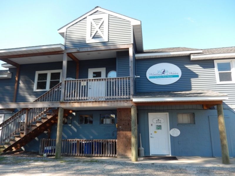
3. Windows at the Water at Yankee Point Marina-Restaurant
Photographed by Don Morfe, August 17, 2016
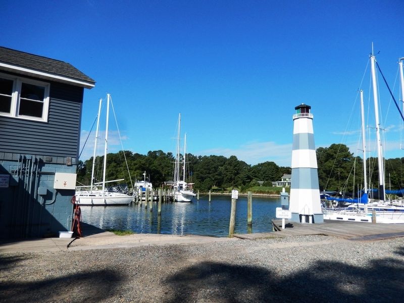
4. Lighthouse at the Yankee Point Marina
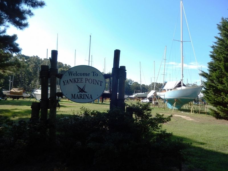
Photographed by Don Morfe, August 17, 2016
5. Sign at the entrance to Yankee Point Marina
Credits. This page was last revised on August 31, 2026. It was originally submitted on August 24, 2016, by Don Morfe of Baltimore, Maryland. This page has been viewed 2,782 times since then and 311 times this year. Last updated on August 30, 2026, by Anne Clewell of Lancaster, Virginia. Photos: 1, 2, 3, 4, 5. submitted on August 24, 2016, by Don Morfe of Baltimore, Maryland. • Devry Becker Jones was the editor who published this page.
