Bridgeport in Wise County, Texas — The American South (West South Central)
Col. William Hudson Hunt
(1815-1864)

Photographed by Jeff Leichsenring, August 30, 2026
1. Col. William Hudson Hunt Marker
Born in Ithaca, New York, William Hudson Hunt became a principal figure in the development of Wise County. He came to Texas in 1836, joining the War for Independence. He then served in the Army of the Texas Republic, participating in the Santa Fe Expedition. His engineering and surveying skills led to an appointment to the council which located the site of the Texas capitol. He also surveyed public and school lands and proposed roadways.
In 1855, Col. Hunt became an early Wise County pioneer, settling along the Trinity River's West Fork. He built his residence and ranch headquarters on a hill (later Cactus Hill) at the confluence of a creek (later Hunt's Creek) with the West Fork. He and his wife, Catherine (Cordel), raised five children on the land. Hunt built livestock and grazing operations, and together with neighbors, including noted rancher Daniel Waggoner, he began a cattle business that later thrived. Hunt also specialized in raising sheep.
Col. Hunt was also a community leader. He laid out the county seat of Taylorsville (later Decatur) and became postmaster at Cactus Hill. He was also active in church
this page online
In 1861, after the death of his wife, Col. Hunt moved his family to Decatur. His death in 1864 was the result of a wreck caused by a runaway team of horses leading his vehicle. Col. Hunt and other family were originally buried in their family cemetery in Cactus Hill, but the construction of a dam and creation of Lake Bridgeport led to their reinterment here. Today, Col. Hunt is remembered as a pioneer, rancher and noted leader in the early days of Wise County.
Erected 2008 by Texas Historical Commission. (Marker Number 15409.)
Topics. This historical marker is listed in these topic lists: Cemeteries & Burial Sites • Charity & Public Work • Settlements & Settlers • War, Texas Independence. A significant historical year for this entry is 1836.
Location. 33° 11.982′ N, 97° 45.009′ W. Marker is in Bridgeport, Texas, in Wise County. It is on 17th Street 0.1 miles south of Elementary Drive, on the left when traveling south. Located in Eastside Cemetery. Touch for map.
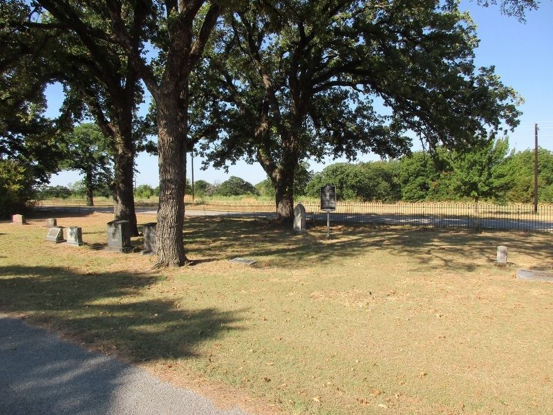
Photographed by Jeff Leichsenring, August 30, 2026
2. Col. William Hudson Hunt Marker

Regionally, this marker is in the Prairies & Lakes Region and in the Dallas-Fort Worth Metropolitan Area. Globally, it is in North America, a Gulf of Mexico state, the Western Hemisphere, the Western World, and the Anglosphere. Historically, it finds itself in what was once New Spain, the Republic of Texas, and one of the Confederate States of America.
Other nearby markers. At least 8 other markers are within 2 miles of this marker, measured as the crow flies: First United Methodist Church of Bridgeport (approx. ¼ mile away); First Baptist Church Bridgeport (approx. ¾ mile away); Bridgeport Lodge No. 587, A.F. & A.M. (approx. 0.9 miles away); Bridgeport Coal Mines (approx. 0.9 miles away); Bridgeport Schools (approx. 0.9 miles away); St. John the Baptizer Catholic Church (approx. 1.1 miles away); First Presbyterian Church of Bridgeport (approx. 1.4 miles away); Republic of Texas' Santa Fe Expedition in Wise County (approx. 1.6 miles away). Touch for a list and map of all markers in Bridgeport.
Credits. This page was last revised on August 31, 2026. It was originally submitted on August 31, 2026, by Jeff Leichsenring of Garland, Texas. This page has been viewed 22 times since then. Photos: 1, 2. submitted on August 31, 2026, by Jeff Leichsenring of Garland, Texas. • James Hulse was the editor who published this page.
