
Annapolis in Anne Arundel County, Maryland — The American Northeast (Mid-Atlantic)
What's In A Name?
Parole's Civil War Origins
Photographed by Mike McKeown, September 2, 2026
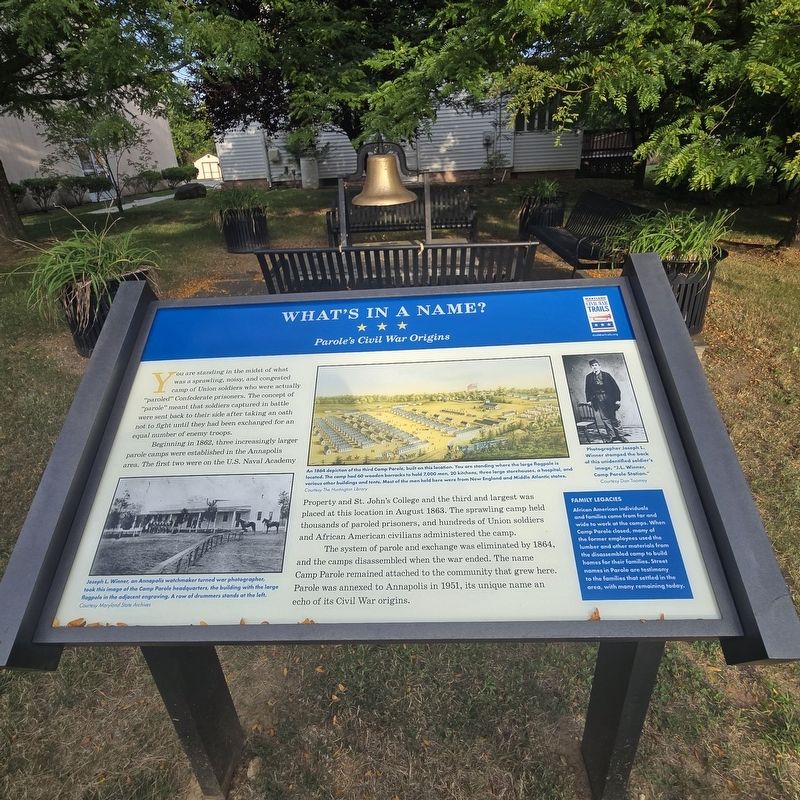
1. What's In A Name? Marker
Beginning in 1862, three increasingly larger parole camps were established in the Annapolis area. The first two were on the U.S. Naval Academy Property and St. John's College and the third and largest was placed at this location in August 1863. The sprawling camp held thousands of paroled prisoners, and hundreds of Union soldiers and African American civilians administered the camp.
The system of parole and exchange was eliminated by 1864, and the camps disassembled when the war ended. The name Camp Parole remained attached to the community that grew here. Parole was annexed to Annapolis in 1951, its unique name an echo of its Civil War origins.
(sidebar)
Family Legacies
African American individuals and families came from tar and wide to work at the camps. When Camp Parole closed, many of the former employees used the lumber and other materials from the disassembled camp to build homes for their families. Street names in Parole are testimony to the families that settled in the area, with many remaining today.
(captions)
Joseph L. Winner, an Annapolis watchmaker turned war photographer, took this image of the Camp Parole headquarters, the building with the large flagpole in the adjacent engraving. A row of drummers stands at the left. Courtesy Maryland State Archives
An 1864 depiction of the third Camp Parole, built on this location. You are standing where the large flagpole is located. The camp had 60 wooden barracks to hold 7,000 men, 20 kitchens, three large storehouses, a hospital, and various other buildings and tents. Most of the men held here were from New England and Middle Atlantic states. Courtesy The Huntington Library
Photographer 3oseph L. Winner stamped the hack of this unidentified soldier's image, "J.L. Winner, Camp Parole Station." Courtesy Don Toomey
Erected by Maryland
this page online
Topics and series. This historical marker is listed in these topic lists: African Americans • Settlements & Settlers • War, US Civil. In addition, it is included in the Maryland Civil War Trails series list. A significant historical month for this entry is August 1863.
Location. 38° 58.856′ N, 76° 31.807′ W. Marker is in Annapolis, Maryland, in Anne Arundel County. It is on Hicks Avenue south of West Street (Maryland Route 450), on the right when traveling south. Touch for map. Marker is at or near this postal address: 2 Hicks Ave, Annapolis MD 21401, United States of America. Touch for directions.

Regionally, this marker is in Central Maryland. It is also in the American Mid-Atlantic, in the Chesapeake Bay Region, and on the Eastern Seaboard. Globally, it is in the North Atlantic Region, North America, the Western Hemisphere, the Western World, and the Anglosphere. Historically, it finds itself in what was once one of the original Thirteen Colonies and also the Antebellum South.
Other nearby markers. At least 8 other markers are within walking distance of this marker: Mount Olive African Methodist Episcopal Church
Photographed by Mike McKeown, September 2, 2026
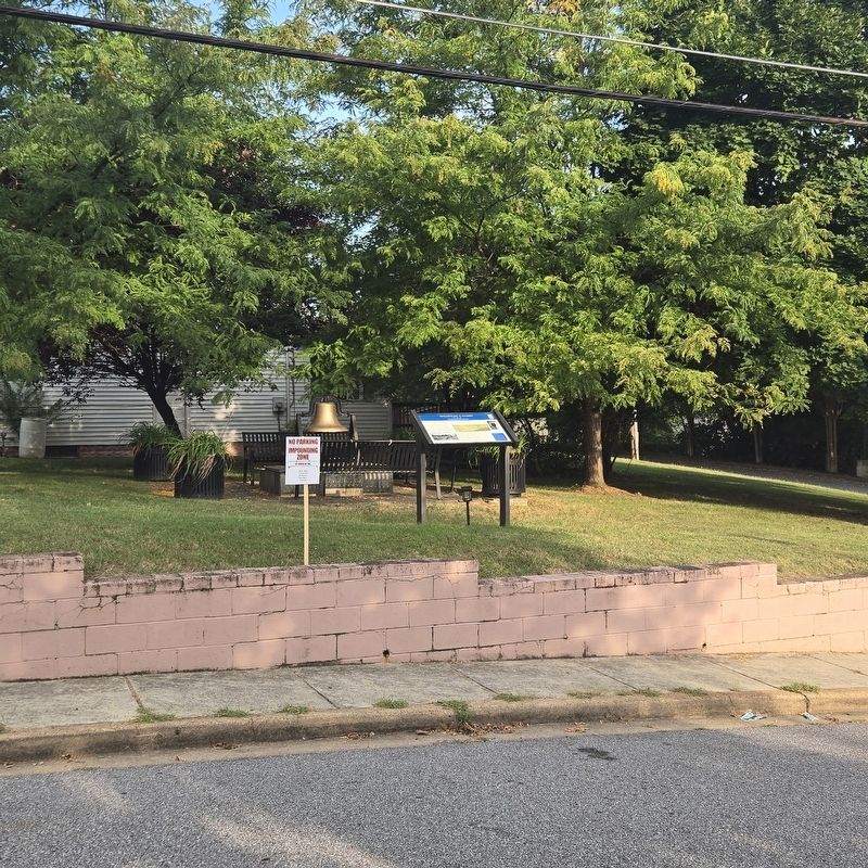
2. What's In A Name? Marker
Credits. This page was last revised on September 4, 2026. It was originally submitted on September 2, 2026, by Mike McKeown of Baltimore, Maryland. This page has been viewed 11 times since then. Photos: 1, 2. submitted on September 2, 2026, by Mike McKeown of Baltimore, Maryland. • Bernard Fisher was the editor who published this page.
