Danforth East York in Toronto, Ontario — Central Canada (North America)
Jean Gertrude “True” Davidson
(1901-1978)
Photographed by Tim Boyd, September 1, 2026
1. Jean Gertrude “True” Davidson Marker
Inscription.
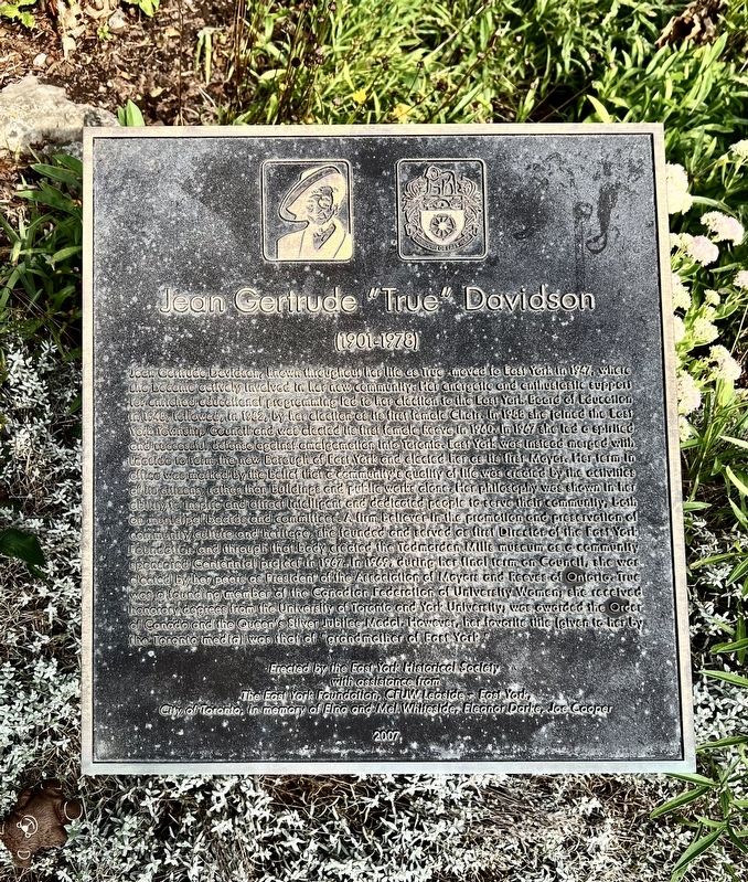
Jean Gertrude Davidson, known throughout her life as True moved to East York in 1947, where she become actively involved in her new community. Her energetic and enthusiastic support for enriched educational programming led to her election to the Eaast York Board of education in 1948, followed, in 1952, by her election as the first female Chair. In 1958 she joined the East York Township Council and was elected its first female Reeve in 1960. In 1967 she led a spirited and successful defense against amalgamation into Toronto. East York was instead merged with Leaside to form the new Borough of East York and elected her as its first Mayor. Her term In office was marked by the belief that a community’s quality of life was created by the activities of its citizens rather than buildings and public works alone. Her philosophy was shown in her ability to inspire and attract intelligent and dedicated people to serve their community, both on municipal boards and committees. A firm believer in the promotion and preservation of community culture and heritage, she founded and served as first Director of the East York Foundation and
Click or scan to see this page online
through that body created the Todmorden Mills museum as a community sponsored Centennial project in 1967. In 1969 during her final term on Council, she was elected by her peers as President of the Association of Mayors and Reeves of Ontario. True was a founding member of the Canadian Federation of University Women; she received honorary degrees from the University of Toronto and York University; was awarded the Order of Canada and the Queen's Silver Jubilee Medal. However, her favorite tile (given to her by the Toronto media) was that of “grandmother of East York".
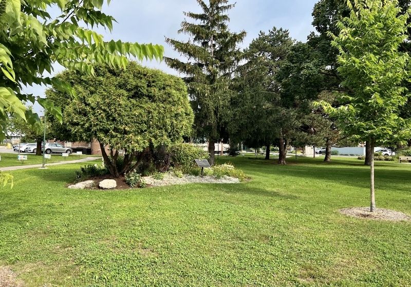
Location. 43° 41.53′ N, 79° 19.824′ W. Marker is in Toronto, Ontario. It is in Danforth East York. It is at the intersection of Roosevelt Road and Memorial Park Avenue, on the right when traveling north on Roosevelt Road. Touch for map. Marker is at or near this postal address: 96 Roosevelt Road, Toronto ON M4J 4T8, Canada. Touch for directions.
Regionally,
Photographed by Tim Boyd, September 1, 2026
2. Jean Gertrude “True” Davidson Marker
Centre of photo
this marker is in Greater Toronto and on the Golden Horseshoe. It is also in Central Canada. Globally, it is in North America, on the Great Lakes, in the Western Hemisphere, in the Western World, and in the Anglosphere. Historically, it finds itself in what was once a British colony, the Viceroyalty of New France, the Haudenosaunee (Iroquois) Confederacy, and Rupert’s Land.
Credits. This page was last revised on September 3, 2026. It was originally submitted on September 2, 2026, by Tim Boyd of Hamilton, Ontario. This page has been viewed 10 times since then. Photos:1, 2. submitted on September 2, 2026, by Tim Boyd of Hamilton, Ontario. • Andrew Ruppenstein was the editor who published this page.