Melbourne, Victoria, Australia — Oceania
Flagstaff Gardens - Mapping 170 Years of Change
| — | Flagstaff Gardens | — |
Photographed by Dean Barton-Ancliffe, July 20, 2026
1. Flagstaff Gardens - Mapping 170 Years of Change Marker
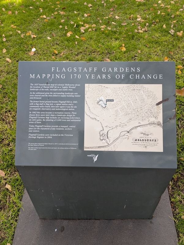
As the settlement grew the surrounding landscape was soon cleared and the trees felled to supply building timber and firewood.
The former burial ground became Flagstaff Hill in 1840, with a flag staff or flag pole, a signal station and a community notice board, then later again it was the site of a magnetic observatory and meteorological station.
In 1862 this area became a recreation reserve. Plans drawn three years later show a landscape design for Flagstaff Gardens that includes an enclosing picket fence six entry gates, the planting of 3,000 trees and substantial areas of lawn.
Today Flagstaff Gardens provide a tranquil, central space for the enjoyment of city residents, workers and visitors.
Flagstaff Gardens were included on the Victorian Heritage Register in 2004.
(Picture Caption) The survey plan prepared by Robert Russell in 1837 is reproduced with the permission of the State Library of Victoria
The white overlay map locates the streets
this page online
Erected by City of Melbourne.
Topics. This historical marker is listed in these topic lists: Parks & Recreational Areas • Settlements & Settlers. A significant historical year for this entry is 1837.
Location. 37° 48.689′ S, 144° 57.344′ E. Marker is in Melbourne, Victoria. It is at the intersection of La Trobe Street and William Street, on the left when traveling east on La Trobe Street. Touch for map. Marker is in this post office area: Melbourne VIC 3003, Australia. Touch for directions.

Regionally, it is in Oceania, in Australasia, in the Pacific Ocean, in South Pacific, on the Pacific Rim, in the Western World, and in the Anglosphere. Historically, it finds itself in what was once a British colony.
Other nearby markers. At least 8 other markers are within walking distance of this marker: Exhibition Building - William Street (about 90 meters away, measured in a direct line); The Flagstaff Gardens (about 90 meters away); Federal Coffee Palace (about 90 meters away); Melbourne (Bird's Eye View) 1882 (about 90 meters away); First Princes Bridge, Melbourne
Photographed by Dean Barton-Ancliffe, July 20, 2026
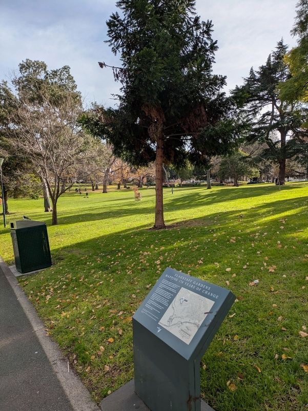
2. Flagstaff Gardens Marker along the path in the gardens
Also see . . . Flagstaff Gardens. City of Melbourne
Between 1836 and 1837 the hilltop was the site of Melbourne's first colonial burial ground. Then from 1840 to 1857, it became the site of a flagstaff which was part of a signalling system between Melbourne and ships sailing into the port at Williamstown. The site was then also used as a meteorological and magnetic observatory between 1857 and 1862. It was also the place from which news of Victoria's separation from NSW was signalled to Melbourne residents through the lighting of a great bonfire in 1850.(Submitted on September 2, 2026, by Dean Barton-Ancliffe of Rowville, Victoria.)
Established as a public garden in 1862, Flagstaff Gardens was designed in the gardenesque style in 1865 by Assistant Commissioner for Crown Lands and Survey, Clement Hodgkinson.
Along with the popular lawns, the gardens feature eucalypts, Moreton Bay figs, avenues of elm trees, shrub beds and a high vantage point.
Credits. This page was last revised on September 3, 2026. It was originally submitted on September 2, 2026, by Dean Barton-Ancliffe of Rowville, Victoria. This page has been viewed 9 times since then. Photos: 1, 2. submitted on September 2, 2026, by Dean Barton-Ancliffe of Rowville, Victoria. • Andrew Ruppenstein was the editor who published this page.
