
York in Stanhope, Prince Edward Island — The Atlantic Provinces (North America)
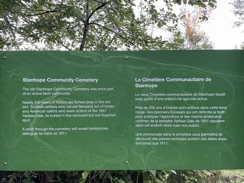
Stanhope Community Cemetery
Photographed by Jay Noble, September 2, 2026
1. Stanhope Community Cemetery Marker

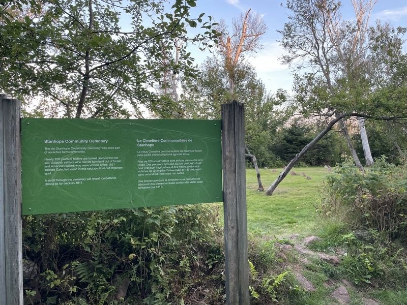
The old Stanhope Community Cemetery was once part of an active farm community.
Nearly 200 years of history are buried deep in the red soil. Scottish settlers who carved farmland out of forest, and American sailors who were victims of the 1851 Yankee Gale, lie buried in this secluded but not forgotten spot.
A stroll through the cemetery will reveal tombstones dating as far back as 1811.
Le vieux Cimetière communautaire de Stanhope faisait jadis partie d'une collectivité agricole active.
Près de 200 ans d'histoire sont enfouis dans cette terre rouge. Des pionniers Écossais qui ont défriché la forêt pour pratiquer l'agriculture et des marins américains victimes de la tempête Yankee Gale de 1851 reposent dans cet endroit retiré mais non oublié.
Une promenade dans le cimetière vous permettra de découvrir des pierres tombales portant des dates aussi lointaines que 1811.
Topics. This historical marker is listed in these topic lists: Cemeteries & Burial Sites • Settlements & Settlers. A significant historical year for this entry is 1811.
Location. 46° 24.946′ N,
this page online

Regionally, this marker is in the Maritimes and in Atlantic Canada. Globally, it is in the North Atlantic Region, North America, the Western Hemisphere, the Western World, and the Anglosphere. Historically, it finds itself in what was once a British colony and also the Viceroyalty of New France.
Other nearby markers. At least 8 other markers are within 21 kilometers of this marker, measured as the crow flies: The Changing Landscape / Un paysage en évolution (approx. 3.8 kilometers away); Bushing the Bay / Buissons sur la Baie (approx. 3.8 kilometers away); The Gale of 1851 (approx. 4.1 kilometers away); Andrew's Millpond (approx. 15.9 kilometers away); Ardgowan (approx. 18.4 kilometers away); Canada Department of Agriculture Research Branch (approx. 18.6 kilometers away); Beginnings of a Settlement
Photographed by Jay Noble, September 2, 2026
2. Stanhope Community Cemetery Marker
Credits. This page was last revised on September 3, 2026. It was originally submitted on September 2, 2026, by Jay Noble of Charlottetown, Prince Edward Island. This page has been viewed 6 times since then. Photos: 1, 2. submitted on September 2, 2026, by Jay Noble of Charlottetown, Prince Edward Island. • Andrew Ruppenstein was the editor who published this page.
