
Fort Frances in Rainy River District, Ontario — Central Canada (North America)
Pelts, Paddles and Portages
| — | Discover Fort Frances | — |
Photographed by Cosmos Mariner, June 16, 2024
1. Pelts, Paddles and Portages Marker
The Voyageur's Highway
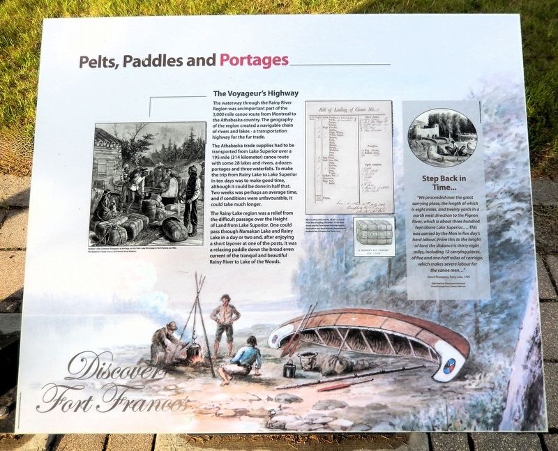
The waterway through the Rainy River Region was an important part of the 3,000 mile canoe route from Montreal to the Athabaska country. The geography of the region created a navigable chain of rivers and lakes — a transportation highway for the fur trade.
The Athabaska trade supplies had to be transported from Lake Superior over a 195 mile (314 kilometer) canoe route with some 28 lakes and rivers, a dozen portages and three waterfalls. To make the trip from Rainy Lake to Lake Superior in ten days was to make good time, although it could be done in half that. Two weeks was perhaps an average time, and if conditions were unfavourable, it could take much longer.
The Rainy Lake region was a relief from the difficult passage over the Height of Land from Lake Superior. One could pass through Namakan Lake and Rainy Lake in a day or two and, after enjoying a short layover at one of the posts, it was a relaxing paddle down the broad even current of the tranquil and beautiful Rainy River to Lake of the Woods.
Step Back in Time...
“We proceeded over the great carrying place, the length of which is eight miles,
this page online
—David Thompson, Rainy Lake, 1798
[background image caption] The Explorer’s Camp, by Frances Anne Hopkins
Topics. This historical marker is listed in these topic lists: Industry & Commerce • Waterways & Vessels. A significant historical year for this entry is 1798.
Location. 48° 36.456′ N, 93° 22.301′ W. Marker is in Fort Frances, Ontario, in Rainy River District. It is at the intersection of Front Street and Williams Avenue, on the right when traveling east on Front Street. The marker is near the southeast corner of a picnic shelter overlooking the Rainy River. Touch for map. Marker is in this post office area: Fort Frances ON P9A 1G4, Canada. Touch for directions.

Regionally, this marker is in Northern Ontario and specifically in Northwest Ontario. It is also in Central
Minnesota Historical Society (AV1996.13) Negative No. 69985
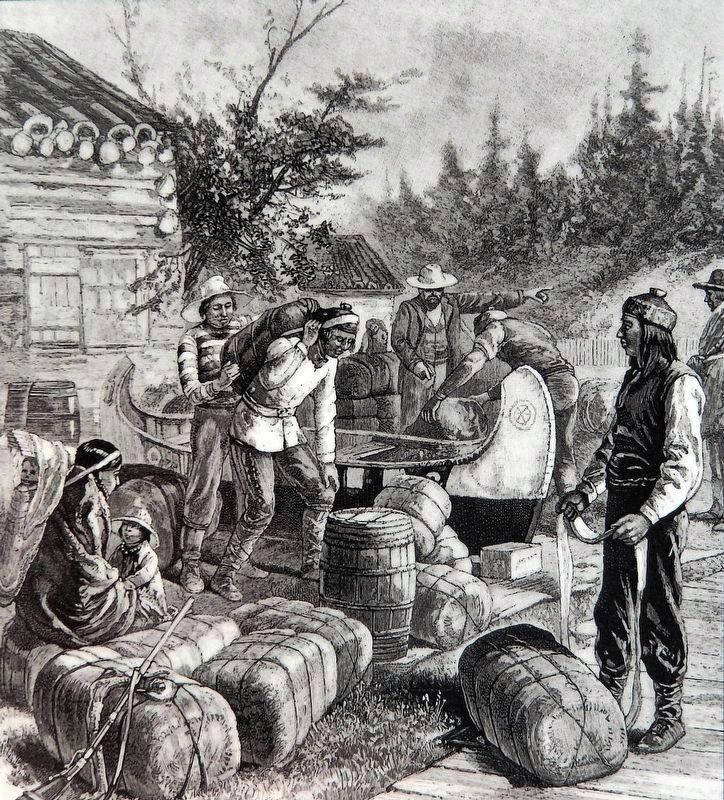
2. Marker detail: Hudson’s Bay Company Voyageurs at portage
On trip from Lake Winnipeg to York Factory, ca. 1882.
Other nearby markers. At least 8 other markers are within walking distance of this marker: The Fur Trade Competition (here, next to this marker); Explore Fort Frances West (here, next to this marker); History of the Lookout Tower (approx. 0.3 kilometers away); Forest to Wood Yard (approx. 0.3 kilometers away); The Shevlin Wood Yard (approx. 0.3 kilometers away); The North West Mounted Police on the Dawson Route (approx. 0.3 kilometers away); a different marker also named Pelts, Paddles and Portages (approx. 0.4 kilometers away); Establishing the Fur Trade (approx. 0.4 kilometers away). Touch for a list and map of all markers in Fort Frances.
Also see . . . Voyageurs National Park (Wikipedia).
Excerpt: European exploration began about 1688. French explorer Jacques de Noyon wintered along the Rainy River. But it was the demand(Submitted on September 4, 2026, by Cosmos Mariner of Cape Canaveral, Florida.)for beaver pelts that brought the fur traders. As competition in the east depleted the beaver, the voyageurs expanded their range into the northwest territories of North America. Here along the modern border of the United States and Canada, the Cree, Monsoni, and Assiniboine tribes were first Native American contacts. By the mid-18th century these people had abandoned the Rainy Lake area, to the Ojibwe. By 1780 the Ojibwe were the primary residents on the border. They filled key roles as suppliers of food, furs, and canoes.Thunder Bay Historical Museum Collection3. Marker detail: Bill of Lading Canoe No. 18(above) Lac la Pluie Bills of Lading. The letter “A” for Bales Goods and for Twist reveal that the canoe’s destination was the Athabaska Department.
(right) Hudson’s Bay Company Fur Pack.

Minnesota Historical Society (AV1996.13)
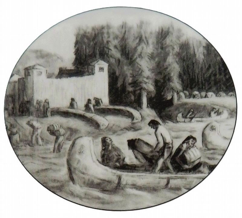
4. Marker detail: Trips End
Les Voyageurs Arriving at Grand Portage Fort, Dewey Albinson.
Photographed by Cosmos Mariner, June 16, 2024
5. Pelts, Paddles and Portages Marker
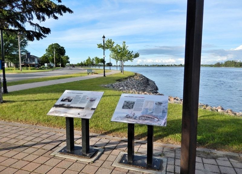
Looking east along the Rainy River. Front Street is on the left. This marker is the rightmost of two interpretive panels on the east side of the picnic shelter.
Credits. This page was last revised on September 4, 2026. It was originally submitted on September 2, 2026, by Cosmos Mariner of Cape Canaveral, Florida. This page has been viewed 8 times since then. Photos: 1, 2, 3, 4, 5. submitted on September 4, 2026, by Cosmos Mariner of Cape Canaveral, Florida.
