Near North Bonneville in Skamania County, Washington — The American West (Northwest)
"Beacon Rock"
Photographed by Barry Swackhamer, June 12, 2026
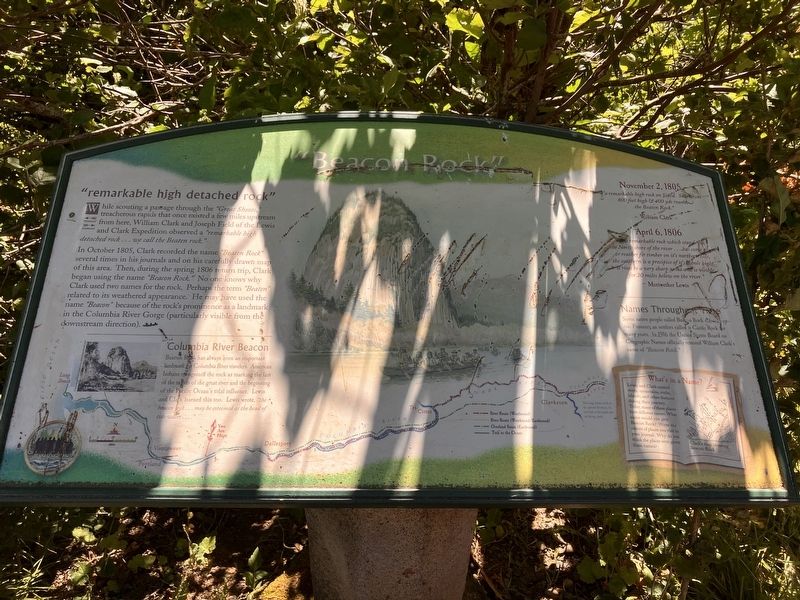
1. "Beacon Rock" Marker
"remarkable high detached rock"
While scouting a passage through the "Great Shoote," treacherous rapids that once existed a few miles upstream from here, William Clark and Joseph Field of the Lewis and Clark Expedition observed a "remarkable high detached rock ... we call the Beaten rock."
In October 1805, Clark recored the name "Beaten Rock" several times in his journals and on his carefully drawn map of this area. Then, during the spring 1806 return trip, Clark began using the name "Beacon Rock." No one knows why Clark used two names of the rock. Perhaps the term "Beaten" related to its weathered appearance. He may have used the name "Beacon" because of the rocks prominence as a landmark in the Columbia River Gorge (particularly visible from the downstream direction).
Columbia River Beacon
Beacon Rock has always been an important landmark for Columbia River travelers. American Indians recognized the rock as marking the last of the rapids of the great river and the beginning of the Pacific Ocean's tidal influence. Lewis and Clark learned this too. Lewis wrote, "the beacon rock ... may be esteemed as the head of tide water ..."
this page online
"a remarkable high rock on Stard. Side about 800 feet and 400 yds around the Beaten Rock."
William Clark
April 6, 1806
This remarkable rock which stands on the North shore of the river ... has some pine or reather fir timber on its northern side, the southern is a precipice of it's whole hight it rises to a very sharp point and is visible for 20 miles below on the river."
Meriwether Lewis
Names Throughout Time
Some native people called Beacon Rock Che-che-op-tin. Pioneers an(sic) settlers called it Castle Rock for many years. In 1916 the United States Board of Geographic Names officially restored William Clark's name of "Beacon Rock."
Erected by Washington Lewis and Clark Expedition Bicentennial Commission.
Topics. This historical marker is listed in these topic lists: Exploration • Natural Features. A significant historical date for this entry is November 2, 1805.
Location. 45° 37.717′ N, 122° 1.298′ W. Marker is near North Bonneville, Washington, in Skamania County. It is on Evergreen Highway (Washington Route 14) near Kueffler Road, on the right when traveling east. Touch for map.
Photographed by Barry Swackhamer, June 12, 2026
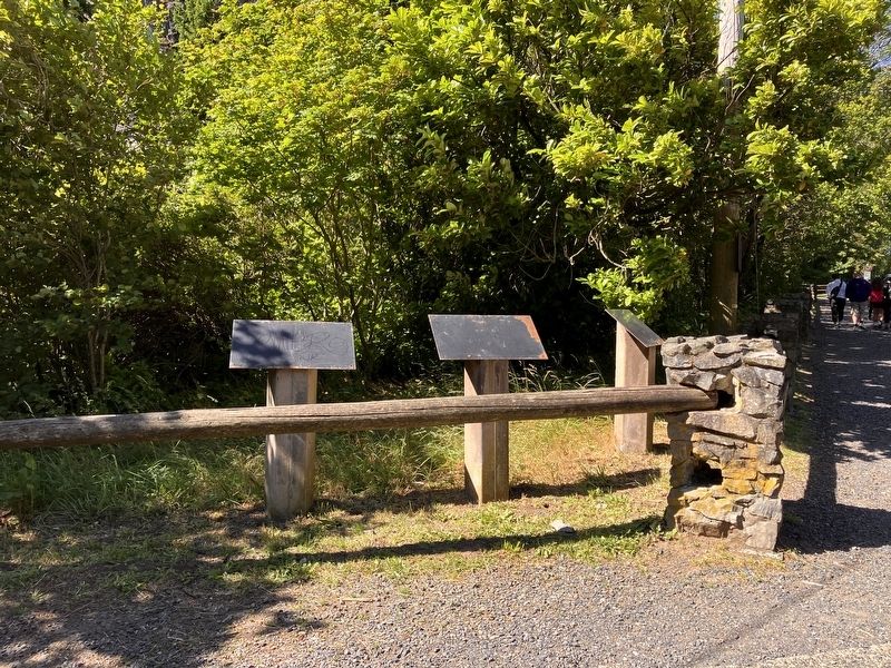
2. "Beacon Rock" Marker

Regionally, this marker is in the Columbia River Gorge and in Southwest Washington State. It is also on the American Pacific Coast, in the Pacific Northwest, and in the Lewis & Clark Corridor. Globally, it is in North America, in the Cascade Range, on the Ring of Fire, on the Pacific Rim, in the Western Hemisphere, in the Western World, and in the Anglosphere.
Other nearby markers. At least 8 other markers are within 3 miles of this marker, measured as the crow flies: Beacon Rock State Park (within shouting distance of this marker); a different marker also named Beacon Rock (about 300 feet away, measured in a direct line); Journey Through the Columbia River Gorge (approx. ¾ mile away); "Remarkable" Rock (approx. ¾ mile away); Passage Through Time (approx. ¾ mile away); Lewis and Clark National Historic Trail (approx. ¾ mile away); Warrendale (approx. 1.4 miles away in Oregon); "skin of a wild sheep" (approx. 2.3 miles away). Touch for a list and map of all markers in North Bonneville.
Photographed by Barry Swackhamer, June 12, 2026
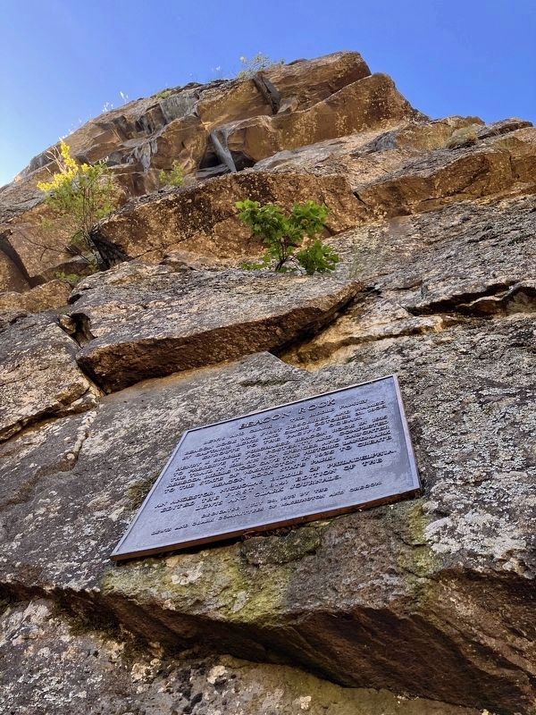
3. Beacon Rock, north side
Tee marker in the photograph is not this marker.
Photographed by Barry Swackhamer, June 12, 2026
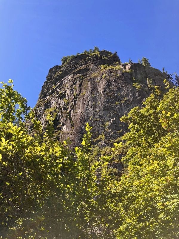
4. Beacon Rock, north side
Credits. This page was last revised on September 3, 2026. It was originally submitted on September 3, 2026, by Barry Swackhamer of Brentwood, California. This page has been viewed 8 times since then. Photos: 1, 2, 3, 4. submitted on September 3, 2026, by Barry Swackhamer of Brentwood, California.
