Randolph in Cattaraugus County, New York — The American Northeast (Mid-Atlantic)
Randolph Cemetery
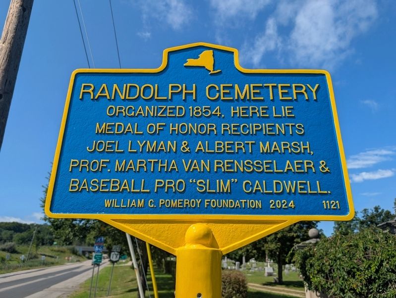
Photographed by Mike Wintermantel, September 3, 2026
1. Randolph Cemetery Marker
Erected 2024 by William G. Pomeroy Foundation. (Marker Number 1121.)
Topics and series. This historical marker is listed in these topic lists: Cemeteries & Burial Sites • Sports. In addition, it is included in the William G. Pomeroy Foundation series list. A significant historical year for this entry is 1854.
Location. 42° 9.575′ N, 78° 59.485′ W. Marker is in Randolph, New York, in Cattaraugus County. It is at the intersection of Cemetery Street and West Main Street, on the left when traveling north on Cemetery Street. Touch for map. Marker is in this post office area: Randolph NY 14772, United States of America. Touch for directions.

Regionally, this marker is in Upstate New York, specifically in Western New York, and in the Southern Tier. It is also in the American Northeast, in the Mid-Atlantic, in Appalachia, and specifically in Northern Appalachia. Globally, it is in North America, the Western Hemisphere, the Western World, and the Anglosphere. Historically,
this page online
Other nearby markers. At least 8 other markers are within 2 miles of this marker, measured as the crow flies: Borden Plant (approx. 0.4 miles away); Dow Library (approx. ¾ mile away); Original Randolph Free Library (approx. ¾ mile away); Village Hall (approx. 0.8 miles away); Early Bank (approx. 0.8 miles away); 1917 – 1918 (approx. 0.8 miles away); Randolph (approx. 0.9 miles away); Academy Hill (approx. 1.3 miles away). Touch for a list and map of all markers in Randolph.
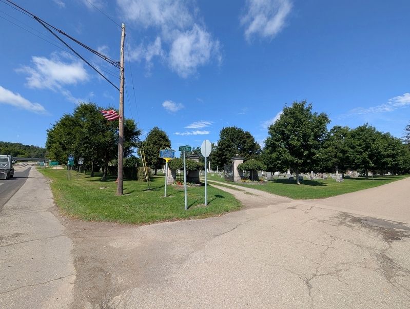
Photographed by Mike Wintermantel, September 3, 2026
2. Randolph Cemetery Marker
Credits. This page was last revised on September 3, 2026. It was originally submitted on September 3, 2026, by Mike Wintermantel of Pittsburgh, Pennsylvania. This page has been viewed 9 times since then. Photos: 1, 2. submitted on September 3, 2026, by Mike Wintermantel of Pittsburgh, Pennsylvania.
