
Fort Frances in Rainy River District, Ontario — Central Canada (North America)
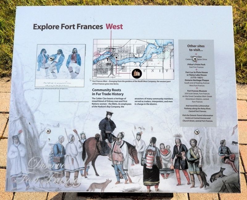
Explore Fort Frances West
| — | Discover Fort Frances | — |
Photographed by Cosmos Mariner, June 16, 2024
1. Explore Fort Frances West Marker
Community Roots in Fur Trade History
The Calder Clan boasts a heritage of mixed blood of Orkney men and First Nations women — the Métis. As employees of the Hudson’s Bay Company, the ancestors of many community members served as traders, interpreters, and men in charge of the district.
[background image caption] Trader with Trappers
Other Sites to Visit…
Calder Clan • Calder Drive
Pither's Point Park • East Fort Frances
Fort Lac la Pluie House or Rainy Lake House (1775-1821) Ontario Heritage Plaque • South end of Keating Avenue West Fort Frances
Fort Frances Museum • 259 Scott Street, Fort Frances on the Great Canadian Main Street Downtown District, central Fort Frances
And travel the LaVerendrye Parkway along the Rainy River, Central Fort Frances.
Visit the Ontario Travel Information Centre at Central Avenue and Church Street, central Fort Frances.
Topics. This historical marker is listed in these topic lists: Indigenous Peoples and Communities • Industry & Commerce • Settlements & Settlers.
Location. 48° 36.455′ N, 93° 22.304′ W. Marker is in Fort Frances, Ontario,
this page online

Regionally, this marker is in Northern Ontario and specifically in Northwest Ontario. It is also in Central Canada. Globally, it is in North America, the Great North Woods, the Western Hemisphere, the Western World, and the Anglosphere. Historically, it finds itself in what was once a British colony, the Viceroyalty of New France, the Haudenosaunee (Iroquois) Confederacy, and Rupert’s Land.
Other nearby markers. At least 8 other markers are within walking distance of this marker: Pelts, Paddles and Portages (here, next to this marker); The Fur Trade Competition (here, next to this marker); History of the Lookout Tower (approx. 0.3 kilometers away); Forest to Wood Yard (approx. 0.3 kilometers away); The Shevlin Wood Yard (approx. 0.3 kilometers away); The North West Mounted Police on the Dawson Route
Courtesy Royal Ontario Museum
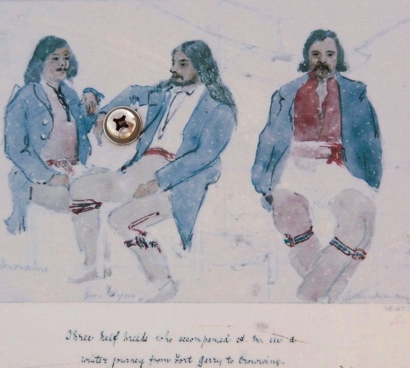
2. Marker detail: Three Métis Guides, 1857-1858, by Alexander Moncrieff
Related markers. Click here for a list of markers that are related to this marker. The Calder Clan
Also see . . . The Canadian Metis: A People Genes Cannot Define (ExploreYourDNA.com).
Excerpt: Through the seventeenth and eighteenth centuries the fur trade pushed European men deep into the interior of what is now Canada, far ahead of any settler families. Two streams of men dominated. From the French and Canadian trade came the voyageurs, the canoe-men of the North West Company and the independent traders, overwhelmingly French-Canadian and Catholic. From the English trade came the servants of the Hudson's Bay Company, a strikingly large share of them recruited from the Orkney Islands off the north coast of Scotland, with other Scots and Englishmen alongside. These men partnered, in the country marriages known as marriage a la façon du pays, with Cree, Ojibwe, Saulteaux and other First(Submitted on September 4, 2026, by Cosmos Mariner of Cape Canaveral, Florida.)Nations women.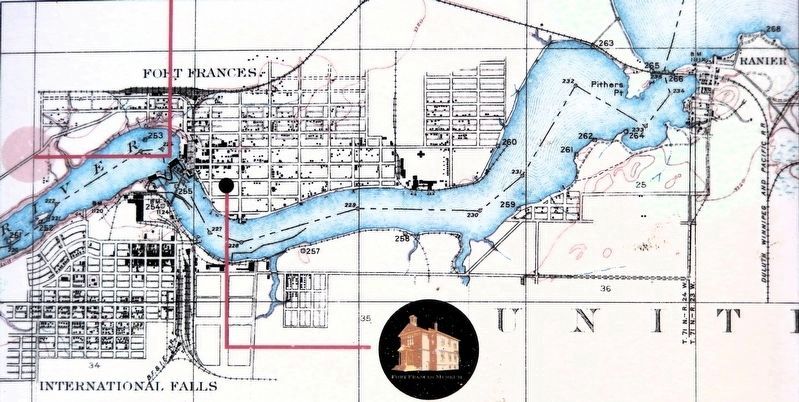 3. Marker detail: Fort Frances WestEmerging from the gardens of the North West Company, the western part of Fort Frances grew into farms.
Photographed by Cosmos Mariner, June 16, 2024
4. Explore Fort Frances West Marker
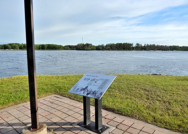
Looking southwest across the Rainy River. This interpretive panel is near the southwest corner of the picnic shelter.
Credits. This page was last revised on September 4, 2026. It was originally submitted on September 3, 2026, by Cosmos Mariner of Cape Canaveral, Florida. This page has been viewed 6 times since then. Photos: 1, 2, 3, 4. submitted on September 4, 2026, by Cosmos Mariner of Cape Canaveral, Florida.
